Goderich in Huron County, Ontario — Central Canada (North America)
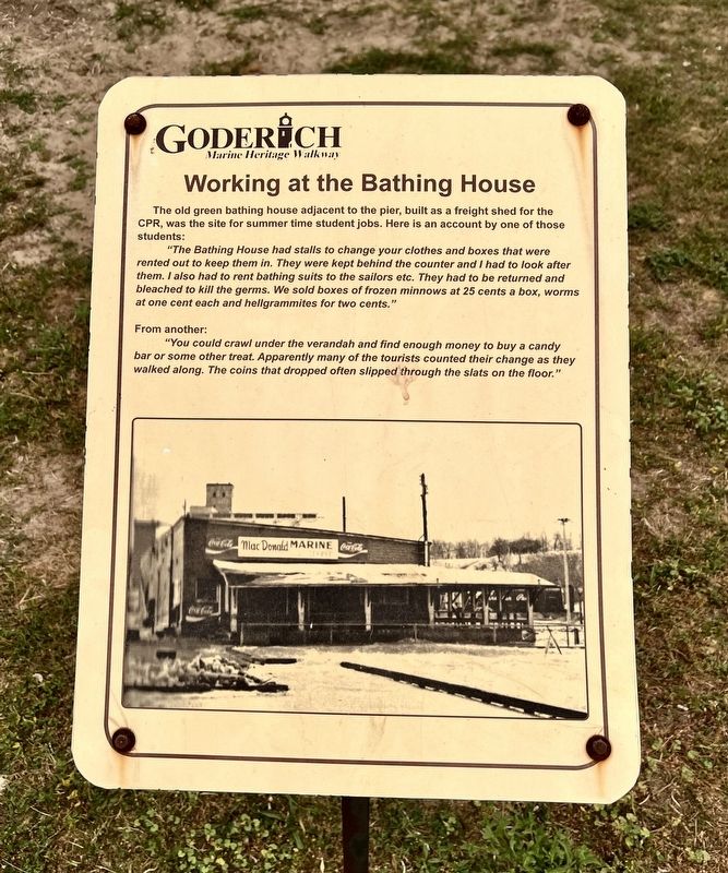
Working at the Bathing House
| — | Goderich Marine Heritage Walkway | — |
Photographed by Tim Boyd, July 15, 2026
1. Working at the Bathing House Marker
"The Bathing House had stalls to change your clothes and boxes that were rented out to keep them in. They were kept behind the counter and had I to look after them. I also had to rent bathing suits to the sailors etc. They had to be returned and bleached to kill the germs. We sold boxes of frozen minnows at 25 cents a box, worms at one cent each and hellgrammites for two cents."
From another:
"You could crawl under the verandah and find enough money to buy a candy bar or some other treat. Apparently many of the tourists counted their change as they walked along. The coins that dropped often slipped through the slats on the floor."
Topics. This historical marker is listed in this topic list: Parks & Recreational Areas.
Location. 43° 44.697′ N, 81° 43.562′ W. Marker is in Goderich, Ontario, in Huron County. It is on Harbour Street, on the right. The marker is on a walkway accessible from Goderich
this page online

Regionally, this marker is in the Huron-Perth-Waterloo-Wellington Area and in Southwestern Ontario. It is also in Central Canada. Globally, it is in North America, on the Great Lakes, in the Western Hemisphere, in the Western World, and in the Anglosphere. Historically, it finds itself in what was once a British colony, the Viceroyalty of New France, the Haudenosaunee (Iroquois) Confederacy, and Rupert’s Land.
Other nearby markers. At least 8 other markers are within walking distance of this marker: Vicki Keith (here, next to this marker); Goderich Salt Mine (here, next to this marker); The Bathing House (here, next to this marker); Goderich Harbour (here, next to this marker); Fish Shanties (a few steps from this marker); The CPR Freight Shed (a few steps from this marker); Ship Island (a few steps from this marker); a different marker also named Goderich Harbour (a few steps from this marker). Touch for a list and map
Photographed by Tim Boyd, July 15, 2021
2. Working at the Bathing House Marker
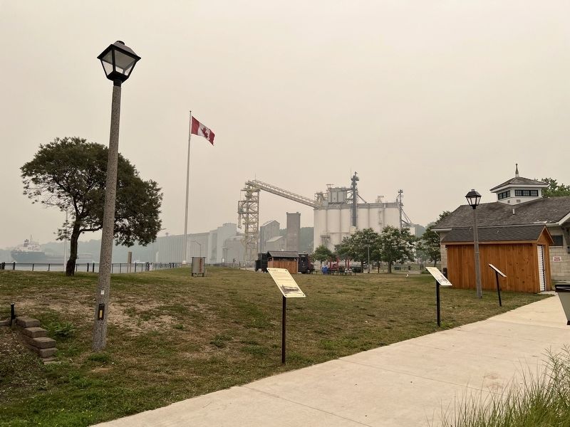
Centre of Photo
Photographed by Tim Boyd, July 15, 2026
3. Working at the Bathing House Marker
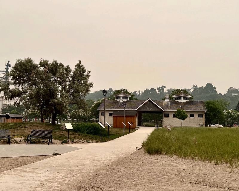
Facing toward Rotary Beach Hut and Harbour Street, the marker is the fourth on the left side of the walkway
Credits. This page was last revised on August 1, 2026. It was originally submitted on July 28, 2026, by Tim Boyd of Hamilton, Ontario. This page has been viewed 15 times since then. Photos: 1, 2, 3. submitted on July 28, 2026, by Tim Boyd of Hamilton, Ontario. • Andrew Ruppenstein was the editor who published this page.
