South Park in Charlotte in Mecklenburg County, North Carolina — The American South (South Atlantic)
St. Lloyd Presbyterian Church Cemetery

Photographed by Mark Parker, July 28, 2026
1. St. Lloyd Presbyterian Church Cemetery Marker
Donated to the Grubb Preservation Foundation and designated a Charlotte Historic Landmark in 2004.
Erected 2004.
Topics. This historical marker is listed in these topic lists: African Americans • Cemeteries & Burial Sites • Religion & Religious Structures. A significant historical year for this entry is 1868.
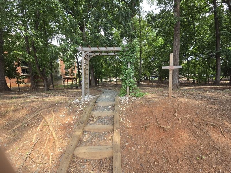
Location. 35° 9.397′ N, 80° 49.577′ W. Marker is in Charlotte, North Carolina, in Mecklenburg County. It is in South Park. It can be reached from Colony Road north of Governor Morrison Street, on the right when traveling north. Located in a small park along Colony Rd, the ground-level marker can be reached by following the gravel trail from the sidewalk. Touch for map. Marker is at or near this postal address:
this page online

Regionally, this marker is in the Piedmont. It is also in the American South and specifically in the Upper South. Globally, it is in North America, the Western Hemisphere, the Western World, and the Anglosphere. Historically, it finds itself in what was once the territory of the Mississippian Culture, one of the original Thirteen Colonies, one of the Confederate States of America, and the Antebellum South.
Other nearby markers. At least 8 other markers are within 3 miles of this marker, measured as the crow flies: Sharon Presbyterian Church Cemetery (approx. 1.2 miles away); Ezra Alexander (approx. 1.2 miles away); Cameron Morrison (approx. 1.4 miles away); Queens University of Charlotte (approx. 2.2 miles away); Freedom Park (approx. 2.3 miles away); The North Carolina Liberty Tree (approx. 2½ miles away); a different marker also named Freedom Park (approx. 2.6 miles away); U.S. Marine Corps (approx. 2.6 miles away). Touch for a list and map of all markers in Charlotte.
Photographed by Mark Parker, July 28, 2026
2. Entrance from Colony Road St. sidewalk

Photographed by Mark Parker, July 28, 2026
3. Wide wiew St. Lloyd Presbyterian Church Cemetery Marker

Photographed by Mark Parker, July 28, 2026
4. Some of the field stones at St. Lloyd Presbyterian Church Cemetery
Credits. This page was last revised on August 4, 2026. It was originally submitted on July 28, 2026, by Mark Parker of Hickory, North Carolina. This page has been viewed 18 times since then. Photos: 1, 2, 3, 4. submitted on July 28, 2026, by Mark Parker of Hickory, North Carolina. • Bernard Fisher was the editor who published this page.
