Moundville in Hale County, Alabama — The American South (East South Central)
Moundville
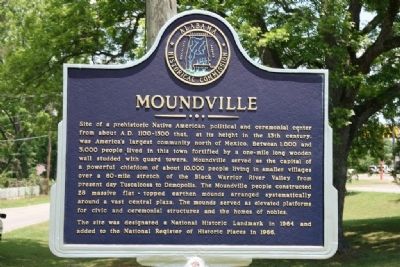
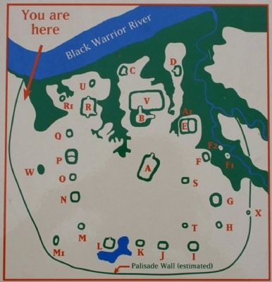
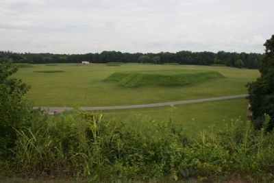
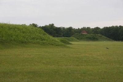
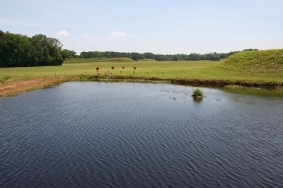
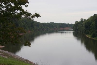
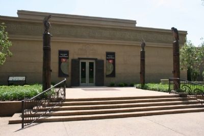
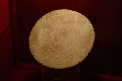
Site of a prehistoric Native American political and ceremonial center from about A. D. 1100-1500 that, at its height in the 13th century, was America’s largest community north of Mexico. Between 1,000 and 3,000 people lived in this town fortified by a one-mile long wooden wall studded with guard towers. Moundville served as the capital of a powerful chiefdom of about 10,000 people living in smaller villages over a 60-mile stretch of the Black Warrior River Valley from present day Tuscaloosa to Demopolis. The Moundville people constructed 28 massive flat - topped earthen mounds arranged systematically around a vast central plaza. The mounds served as elevated platforms for civic and ceremonial structures and the homes of nobles.
The site was designated a National Historic Landmark in 1964 and added to the National Register of Historic Places in 1966.
Erected by Alabama Historical Commission.
Topics and series. This historical marker is listed in these topic lists: Anthropology & Archaeology • Native Americans • Settlements & Settlers. In addition, it is included in the Alabama Historical Commission, and the National Historic Landmarks series lists. A significant historical year for this entry is 1964.
Location. 33° 0.181′ N, 87° 37.135′ W. Marker is in Moundville, Alabama, in Hale County. Marker is at the intersection of Mound Parkway and State Highway 69, on the right when traveling west on Mound Parkway. Touch for map. Marker is in this post office area: Moundville AL 35474, United States of America. Touch for directions.
Other nearby markers. At least 8 other markers are within walking distance of this marker. Moundville Archaeological Park (approx. half a mile away); a different marker also named Moundville Archaeological Park (approx. half a mile away); Politics and Power (approx. ¾ mile away); Mound B (approx. ¾ mile away); Earthlodge (approx. ¾ mile away); a different marker also named Politics and Power (approx. 0.8 miles away); Mound Arrangement (approx. 0.9 miles away); A Perspective of Power (approx. 0.9 miles away). Touch for a list and map of all markers in Moundville.
Also see . . . Moundville Archaeological Park. Park website homepage (Submitted on May 14, 2010, by Timothy Carr of Birmingham, Alabama.)
Credits. This page was last revised on July 2, 2022. It was originally submitted on May 14, 2010, by Timothy Carr of Birmingham, Alabama. This page has been viewed 2,038 times since then and 91 times this year. Photos: 1, 2, 3, 4, 5, 6, 7, 8, 9, 10, 11. submitted on May 14, 2010, by Timothy Carr of Birmingham, Alabama. • Bill Pfingsten was the editor who published this page.
