Goderich in Huron County, Ontario — Central Canada (North America)
Ship Island
| — | Goderich Marine Heritage Walkway | — |
Photographed by Tim Boyd, July 15, 2026
1. Ship Island Marker
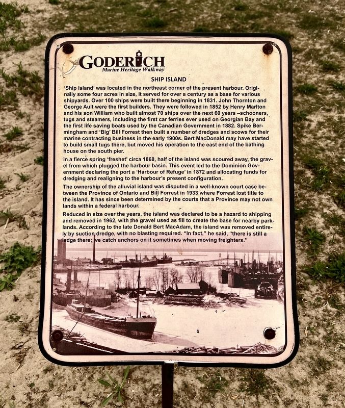
In a fierce spring 'freshet' circa 1868, half of the island was scoured away, the gravel from which plugged the harbour basin. This event led to the Dominion Government declaring the port a ‘Harbour of Refuge’ in 1872 and allocating funds for dredging and realigning to the harbour's present configuration.
The
this page online
Reduced in size over the years, the island was declared to be a hazard to shipping and removed in 1962, with the gravel used as fill to create the base for nearby parklands. According to the late Donald Bert MacAdam, the island was removed entirely by suction dredge, with no blasting required. "In fact," he said, "there is still a ledge there; we catch anchors on it sometimes when moving freighters."
Topics. This historical marker is listed in these topic lists: Industry & Commerce • Waterways & Vessels. A significant historical year for this entry is 1831.
Location. 43° 44.703′ N, 81° 43.568′ W. Marker is in Goderich, Ontario, in Huron County. It is on Harbour Street, on the left when traveling north. The marker is on a walkway accessible from Goderich Main Beach, or through Rotary Beach Hut, approx. 70 metres from Harbour Street. Touch for map. Marker is at
Photographed by Tim Boyd, July 15, 2021
2. Ship Island Marker
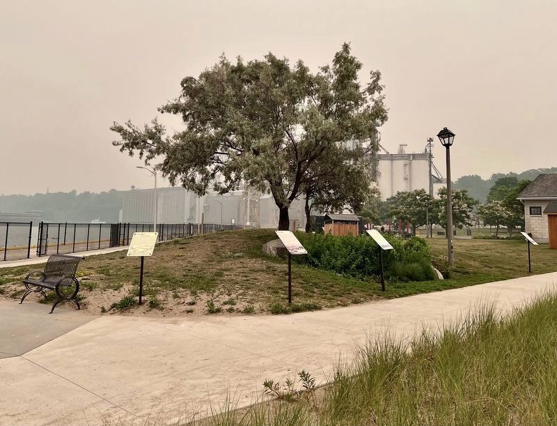
The marker at the centre of the photo

Regionally, this marker is in the Huron-Perth-Waterloo-Wellington Area and in Southwestern Ontario. It is also in Central Canada. Globally, it is in North America, on the Great Lakes, in the Western Hemisphere, in the Western World, and in the Anglosphere. Historically, it finds itself in what was once a British colony, the Viceroyalty of New France, the Haudenosaunee (Iroquois) Confederacy, and Rupert’s Land.
Other nearby markers. At least 8 other markers are within walking distance of this marker: Goderich Harbour (here, next to this marker); Fish Shanties (here, next to this marker); Working at the Bathing House (a few steps from this marker); Vicki Keith (a few steps from this marker); Goderich Salt Mine (a few steps from this marker); a different marker also named Goderich Harbour (a few steps from this marker); The Bathing House (a few steps from this marker); The CPR Freight Shed (within shouting distance of this marker). Touch for a list and map of all markers in Goderich.
Photographed by Tim Boyd, July 15, 2026
3. Ship Island Marker
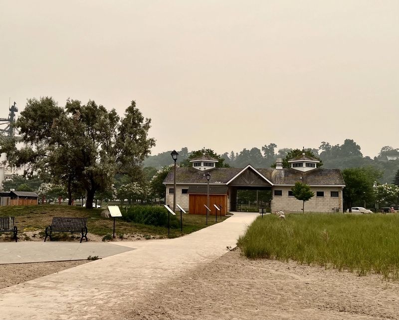
Facing toward Rotary Beach Hut and Harbour Street, the marker is the second from the camera on the left of the walkway
July 29, 2026
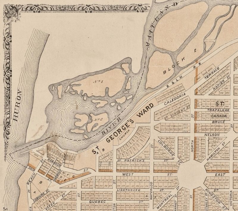
4. Goderich Harbour 1879, showing the area containing the reduced Ship Island
Source: Canadiana.com (public domain)
Credits. This page was last revised on July 29, 2026. It was originally submitted on July 29, 2026, by Tim Boyd of Hamilton, Ontario. This page has been viewed 9 times since then. Photos: 1, 2, 3, 4. submitted on July 29, 2026, by Tim Boyd of Hamilton, Ontario. • Andrew Ruppenstein was the editor who published this page.
