Goderich in Huron County, Ontario — Central Canada (North America)
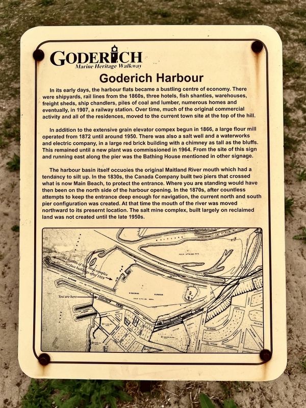
Goderich Harbour
| — | Goderich Marine Heritage Walkway | — |
Photographed by Tim Boyd, July 15, 2026
1. Goderich Harbour Marker
In addition to the extensive grain elevator compex begun in 1866, a large flour mill operated from 1872 until around 1950. There was also a salt well and a waterworks and electric company, in a large red brick building with a chimney as tall as the bluffs. This remained until a new plant was commissioned in 1964. From the site of this sign and running east along the pier was the Bathing House mentioned in other signage.
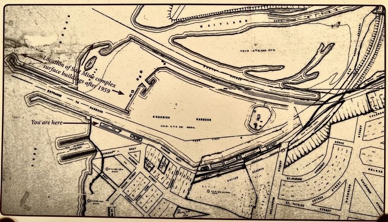
The harbour basin itself occupies the original Maitland River mouth which had a tendancy to silt up. In the 1830s, the Canada Company built two piers that crossed what is now Main Beach, to protect the entrance. Where you are standing would have then been on the north side of the harbour opening.
this page online
Topics. This historical marker is listed in these topic lists: Industry & Commerce • Waterways & Vessels. A significant historical year for this entry is 1907.
Location. 43° 44.705′ N, 81° 43.567′ W. Marker is in Goderich, Ontario, in Huron County. It is on Harbour Street, on the left when traveling north. The marker is on a walkway accessible from Goderich Main Beach, or through the Rotary Beach Hut, approx. 70 metres from Harbour Street. Touch for map. Marker is at or near this postal address: 270 Harbour Street, Goderich ON N7A 4J8, Canada. Touch for directions.

Regionally, this marker is in the Huron-Perth-Waterloo-Wellington Area and in Southwestern Ontario. It is also in Central Canada. Globally, it is in North America, on the Great Lakes, in the Western Hemisphere, in the Western World, and in
Photographed by Tim Boyd, July 15, 2026
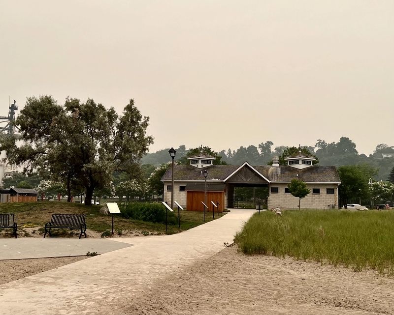
2. Goderich Harbour Marker
Facing toward Harbour Street, the marker is the closest to the camera on the left of the walkway
Other nearby markers. At least 8 other markers are within walking distance of this marker: Ship Island (here, next to this marker); Fish Shanties (here, next to this marker); Working at the Bathing House (a few steps from this marker); Vicki Keith (a few steps from this marker); Goderich Salt Mine (a few steps from this marker); The Bathing House (a few steps from this marker); a different marker also named Goderich Harbour (a few steps from this marker); The CPR Freight Shed (within shouting distance of this marker). Touch for a list and map of all markers in Goderich.
Photographed by Tim Boyd, July 15, 2026
3. Goderich Harbour marker map detail
Photographed by Tim Boyd, July 15, 2026
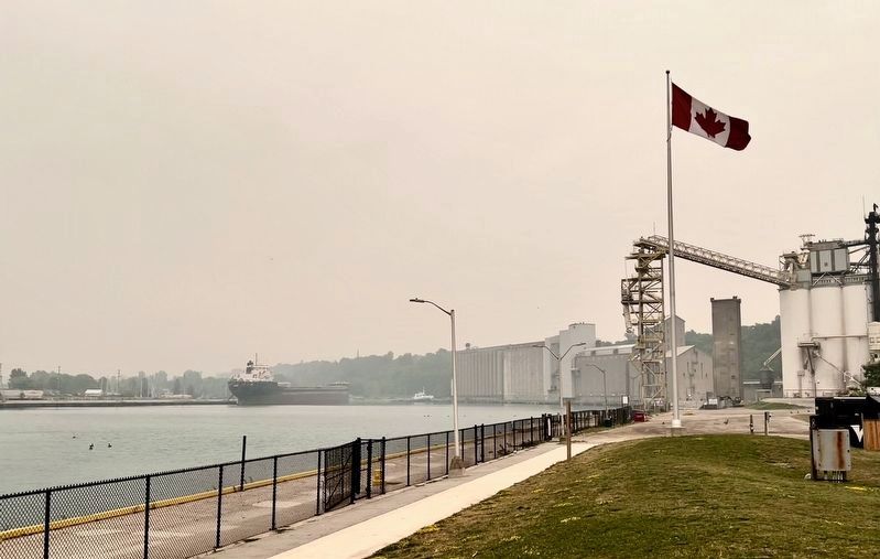
4. Goderich Harbour in July, 2026
(Obscured by wildfire smoke from northern Ontario)
Credits. This page was last revised on July 29, 2026. It was originally submitted on July 29, 2026, by Tim Boyd of Hamilton, Ontario. This page has been viewed 13 times since then. Photos: 1, 2, 3, 4. submitted on July 29, 2026, by Tim Boyd of Hamilton, Ontario. • Andrew Ruppenstein was the editor who published this page.
