Monroe Township in West Liberty in Logan County, Ohio — The American Midwest (Great Lakes)
Past Shawnee Villages
Photographed by Craig Doda, July 11, 2026
1. Past Shawnee Villages Marker
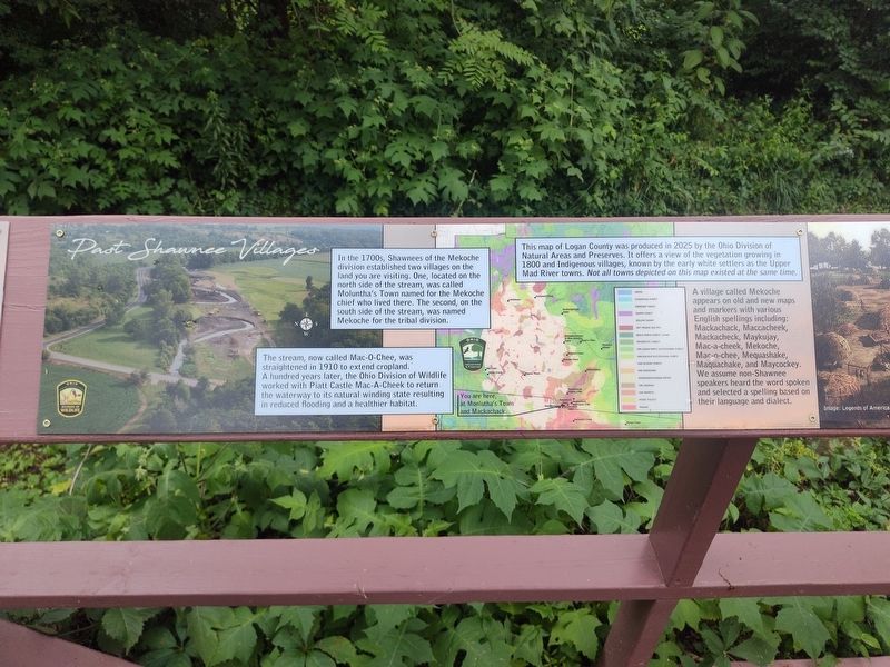
In the 1700s, Shawnees of the Mekoche division established two villages on the land you are visiting. One, located on the north side of the stream, was called Moluntha’s Town named for the Mekoche chief who lived there. The second, on the south side of the stream, was named Mekoche for the tribal division.
The stream, now called Mac-O-Chee, was straightened in 1910 to extend cropland. A hundred years later, the Ohio Division of Wildlife worked with Piatt Castle Mac-A-Cheek to return the waterway to its natural winding state resulting in reduced flooding and a healthier habitat.
This map of Logan County was produced in 2025 by the Ohio Division of Natural Areas and Preserves. It offers a view of the vegetation growing in 1800 and Indigenous villages, known by the early white settlers as the Upper Mad River towns. Not all towns depicted on this map existed at the same time.
A village called Mekoche appears on old and new maps and markers with various English spellings including: Mackachack, Maccacheek, Mackacheck, Maykujay, Mac-a-cheek, Mekoche, Mac-o-chee, Mequashake, Maquachake, and Maycockey. We assume non-Shawnee
this page online
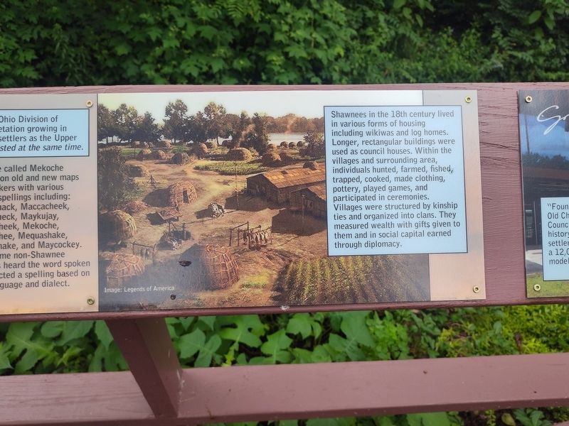
Shawnees in the 18th century lived in various forms of housing including wikiwas and log homes. Longer, rectangular buildings were used as council houses. Within the villages and surrounding area, individuals hunted, farmed, fished, trapped, cooked, made clothing, pottery, played games, and participated in ceremonies. Villages were structured by kinship ties and organized into clans. They measured wealth with gifts given to them and in social capital earned through diplomacy.
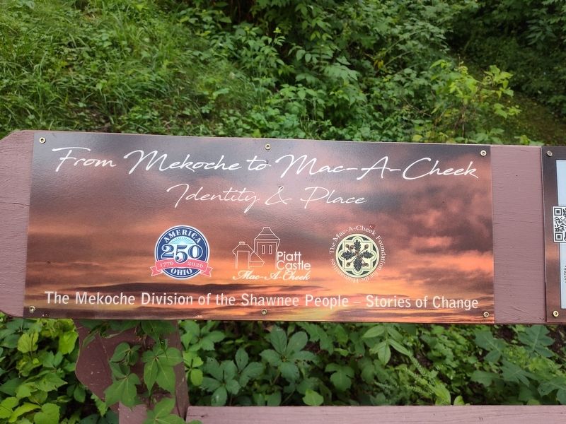
Erected by Piatt Castle Mac-A-Cheek; The Mac-A-Cheek Foundation for the Humanities; America 250: Ohio Commission.
Topics and series. This historical marker is listed in this topic list: Indigenous Peoples and Communities. In addition, it is included in the America 250: Ohio Commission series list. A significant historical year for this entry is 1910.
Location. 40° 15.062′ N, 83° 43.627′ W. Marker is in West Liberty, Ohio, in Logan County. It is in Monroe Township. It is at the intersection of Route 47 and Ohio Route 247, on the right when traveling north on Route 47.
Photographed by Craig Doda, July 11, 2026
2. Past Shawnee Villages Marker

Regionally, this marker is in the Till Plains. It is also in the American Midwest and in the Corn Belt. Globally, it is in North America, the Western Hemisphere, the Western World, and the Anglosphere. Historically, it finds itself in what was once the Viceroyalty of New France, the Haudenosaunee (Iroquois) Confederacy, the territory of the Mississippian Culture, and the Northwest Territory.
Other nearby markers. At least 8 other markers are within walking distance of this marker: Tribal Divisions in the Past & Tribal Groups Today (here, next to this marker); Great Council State Park (here, next to this marker); Why aren't we standing in a Shawnee village? (here, next to this marker); How the Mekoche Were Remembered (here, next to this marker); A History of Historic Markers (here, next to this marker); Hopewell Ceremonial Earthworks (here, next to this marker); Finding the Balance Between History & Legacy (here, next to this marker); Aftermath of Logan’s Raid (here, next
Photographed by Craig Doda, July 11, 2026
3. Past Shawnee Villages Marker
Photographed by Craig Doda, July 11, 2026
4. Past Shawnee Villages Marker
Credits. This page was last revised on August 6, 2026. It was originally submitted on July 30, 2026, by Craig Doda of Napoleon, Ohio. This page has been viewed 24 times since then. Photos: 1, 2, 3, 4. submitted on July 30, 2026, by Craig Doda of Napoleon, Ohio. • Devry Becker Jones was the editor who published this page.
Editor’s want-list for this marker. A readable photo of the entire marker. • Can you help?
