Monroe Township in West Liberty in Logan County, Ohio — The American Midwest (Great Lakes)
Great Council State Park
Photographed by Craig Doda, July 11, 2026
1. Great Council State Park Marker
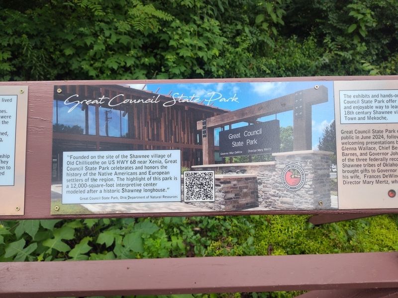
"Founded on the site of the Shawnee village of Old Chillicothe on US HWY 68 near Xenia, Great Council State Park celebrates and honors the history of the Native Americans and European settlers of the region. The highlight of this park is a 12,000-square-foot interpretive center modeled after a historic Shawnee longhouse."
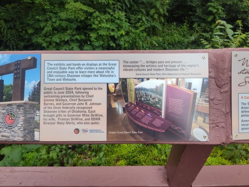
The exhibits and hands-on displays at the Great Council State Park offer visitors a meaningful and enjoyable way to learn more about life in 18th century Shawnee villages like Moluntha’s Town and Mekoche.
Great Council State Park opened to the public in June 2024, following welcoming presentations by Chief Glenna Wallace, Chief Benjamin Barnes, and Governor John R. Johnson of the three federally recognized Shawnee tribes of Oklahoma. Each brought gifts to Governor Mike DeWine, his wife, Frances DeWine, and ODNR Director Mary Mertz, who also spoke.
The center “… bridges past and present … showcasing the artistry and heritage of the region’s vibrant cultures and modern Shawnee life.”
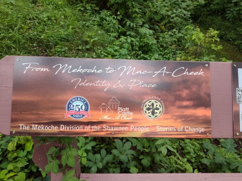
Erected by Piatt Castle Mac-A-Cheek; The Mac-A-Cheek Foundation for the Humanities; America 250: Ohio Commission.
this page online
Topics and series. This historical marker is listed in this topic list: Indigenous Peoples and Communities. In addition, it is included in the America 250: Ohio Commission series list. A significant historical month for this entry is June 2024.
Location. 40° 15.062′ N, 83° 43.624′ W. Marker is in West Liberty, Ohio, in Logan County. It is in Monroe Township. It is at the intersection of County Route 47 and Ohio Route 245, on the right when traveling north on County Route 47. Touch for map. Marker is at or near this postal address: 10051 Township Rd 47, West Liberty OH 43357, United States of America. Touch for directions.

Regionally, this marker is in the Till Plains. It is also in the American Midwest and in the Corn Belt. Globally, it is in North America, the Western Hemisphere, the Western World, and the Anglosphere. Historically, it finds itself in what was once the Viceroyalty of New France, the Haudenosaunee (Iroquois) Confederacy, the territory of the Mississippian Culture, and the Northwest Territory.
Other nearby markers. At least 8 other markers are within walking distance of this marker: Why aren't we standing in a Shawnee village?
Photographed by Craig Doda, July 11, 2026
2. Great Council State Park Marker
Photographed by Craig Doda, July 11, 2026
3. Great Council State Park Marker
Photographed by Craig Doda, July 11, 2026
4. Great Council State Park Marker
Credits. This page was last revised on August 6, 2026. It was originally submitted on July 30, 2026, by Craig Doda of Napoleon, Ohio. This page has been viewed 16 times since then. Photos: 1, 2, 3, 4. submitted on July 30, 2026, by Craig Doda of Napoleon, Ohio. • Devry Becker Jones was the editor who published this page.
Editor’s want-list for this marker. A readable photo of the entire marker. • Can you help?
