Goderich in Huron County, Ontario — Central Canada (North America)
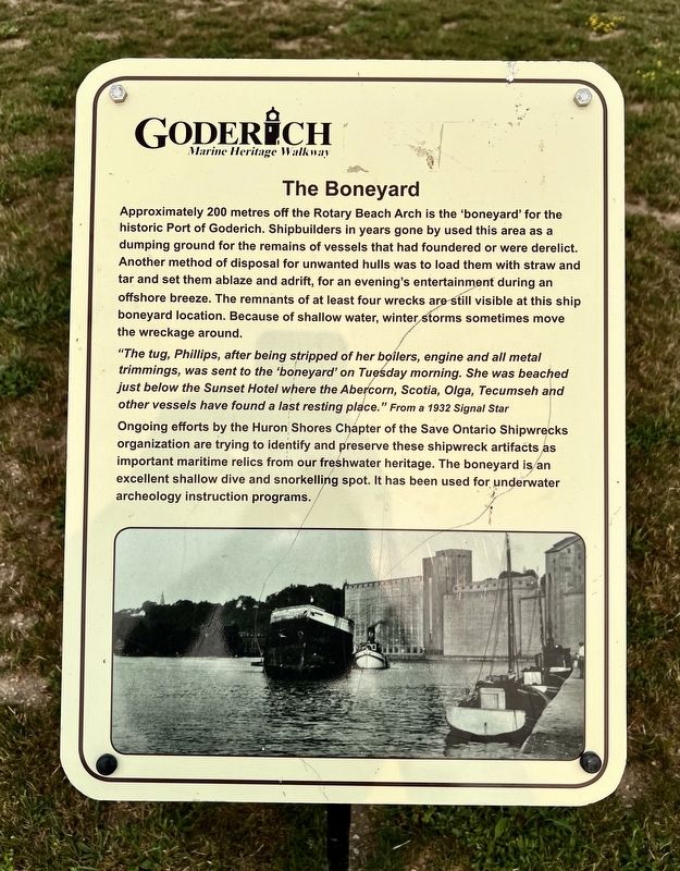
The Boneyard
| — | Goderich Marine Heritage Walkway | — |
Photographed by Tim Boyd, July 16, 2026
1. The Boneyard Marker
"The tug, Phillips, after being stripped of her boilers, engine and all metal trimmings, was sent to the 'boneyard' on Tuesday morning. She was beached just below the Sunset Hotel where the Abercorn, Scotia, Olga, Tecumseh and other vessels have found a last resting place. " From a 1932 Signal Star
Ongoing efforts by the Huron Shores Chapter of the Save Ontario Shipwrecks organization are trying to identify and preserve these shipwreck artifacts as important maritime relics from our freshwater heritage. The boneyard is an excellent shallow dive and snorkelling
this page online
Topics. This historical marker is listed in this topic list: Waterways & Vessels. A significant historical year for this entry is 1932.
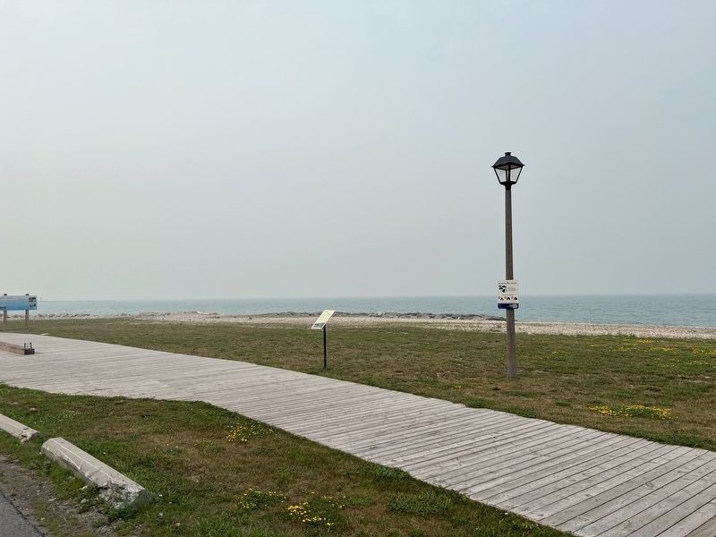
Location. 43° 44.259′ N, 81° 43.58′ W. Marker is in Goderich, Ontario, in Huron County. It is on Cove Road 0.6 kilometers south of Beach Street, on the right when traveling south. Touch for map. Marker is at or near this postal address: 350 Cove Rd, Goderich ON N7A 2H8, Canada. Touch for directions.

Regionally, this marker is in the Huron-Perth-Waterloo-Wellington Area and in Southwestern Ontario. It is also in Central Canada. Globally, it is in North America, on the Great Lakes, in the Western Hemisphere, in the Western World, and in the Anglosphere. Historically, it finds itself in what was once a British colony, the Viceroyalty of New France, the Haudenosaunee (Iroquois) Confederacy, and Rupert’s Land.
Other nearby markers. At least 8 other markers are within walking distance of this marker: The Cottages (approx. 0.2 kilometers away); The Sunset Hotel (approx. 0.2 kilometers away); Goderich Lighthouse (approx.
Photographed by Tim Boyd, July 16, 2026
2. The Boneyard Marker
Credits. This page was last revised on July 30, 2026. It was originally submitted on July 30, 2026, by Tim Boyd of Hamilton, Ontario. This page has been viewed 9 times since then. Photos: 1, 2. submitted on July 30, 2026, by Tim Boyd of Hamilton, Ontario. • Andrew Ruppenstein was the editor who published this page.
