Egg Harbor Township in English Creek in Atlantic County, New Jersey — The American Northeast (Mid-Atlantic)
English Creek - Settled in 1714
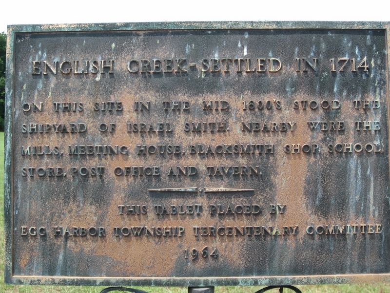
Photographed by Donald B. Caselli (Barry), July 24, 2011
1. English Creek - Settled in 1714 Marker
Egg Harbor Township Tercentenary Committee
1964
Erected 1964 by Egg Harbor Township Tercentenary Committee.
Topics. This historical marker is listed in these topic lists: Colonial Era • Industry & Commerce • Settlements & Settlers. A significant historical year for this entry is 1714.
Location. Marker is missing. It was located near 39° 20.782′ N, 74° 40.291′ W. Marker was in English Creek, New Jersey, in Atlantic County. It was in the Egg Harbor Township. It was on Wharf Road 0.2 miles south of Somers Point Road (County Route 559), on the right when traveling south. Touch for map. Marker was in this post office area: Mays Landing NJ 08330, United States of America. Touch for directions.

Regionally, this marker was in the American Northeast, in the Mid-Atlantic, and on the Eastern Seaboard. Globally, it was in the North Atlantic Region, North America, the Western Hemisphere, the Western
this page online
Other nearby markers. At least 8 other markers are within 5 miles of this location, measured as the crow flies: Asbury Methodist Church (approx. one mile away); Burial Ground of Col. Richard Somers (approx. 4½ miles away); Submarine Veterans Memorial (approx. 4.6 miles away); U.S. Navy Commandant Richard Somers’ Birthplace (approx. 4.6 miles away); Somers Point Bapist Church (approx. 4.6 miles away); Richard Somers Memorial Building (approx. 4.6 miles away); Somers Point World War II Memorial (approx. 4.6 miles away); Somers Point World War I Monument (approx. 4.6 miles away).
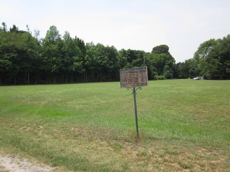
Photographed by Donald B. Caselli (Barry), July 24, 2011
2. English Creek - Settled in 1714 Marker
Credits. This page was last revised on August 5, 2026. It was originally submitted on July 30, 2026, by Donald B. Caselli (Barry) of Hopewell, Virginia. This page has been viewed 15 times since then. Photos: 1, 2. submitted on July 30, 2026, by Donald B. Caselli (Barry) of Hopewell, Virginia. • Michael Herrick was the editor who published this page.
