Rib Mountain in Marathon County, Wisconsin — The American Midwest (Great Lakes)
Rib Mountain State Park
Photographed by Keith L, June 8, 2008
1. Rib Mountain State Park Marker
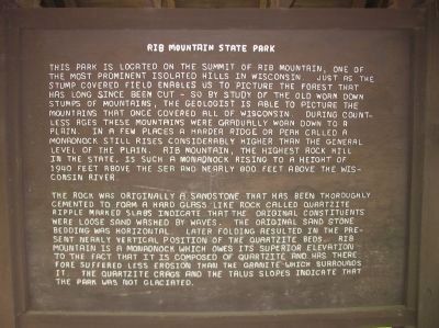
This park is located on the summit of Rib Mountain, one of the most prominent isolated hills in Wisconsin. Just as the stump covered field enables us to picture the forest that has long since been cut – so by the study of the old worn down stumps of mountains, the geologist is able to picture the mountains that once covered all of Wisconsin. During countless ages these mountains were gradually worn down to a plain. In a few places a harder ridge or peak called a monadnock still rises considerably higher than the general level of the plain. Rib Mountain, the highest rock hill in the state, is such a monadnock rising to a height of 1940 feet above the sea and nearly 800 feet above the Wisconsin River.
The rock was originally a sandstone that has been thoroughly cemented to form a hard glass like rock called quartzite. Ripple marked slabs indicate that the original constituents were loose sand washed by waves. The original sand stone bedding was horizontal. Later folding resulted in the present nearly vertical position of the quartzite beds. Rib Mountain is a monadnock which owes its superior elevation to the fact that
this page online
Topics. This historical marker is listed in this topic list: Natural Features. A significant historical year for this entry is 1940.
Location. Marker is missing. It was located near 44° 55.206′ N, 89° 41.622′ W. Marker was in Rib Mountain, Wisconsin, in Marathon County. It could be reached from Park Road west of County Highway N. Marker is near the concession stand in Rib Mountain State Park (fee area). Touch for map. Marker was at or near this postal address: 4521 Park Rd, Wausau WI 54401, United States of America. Touch for directions.

Regionally, this marker was in Northern Wisconsin. It was also in the American Midwest and in the Corn Belt. Globally, it was in North America, the Great North Woods, the Western Hemisphere, the Western World, and the Anglosphere. Historically, it found itself in what was once the territory of the Mississippian Culture and also the Northwest Territory.
Other nearby markers. At least 8 other markers are
Photographed by Keith L, June 8, 2008
2. Rib Mountain State Park Marker
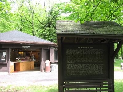
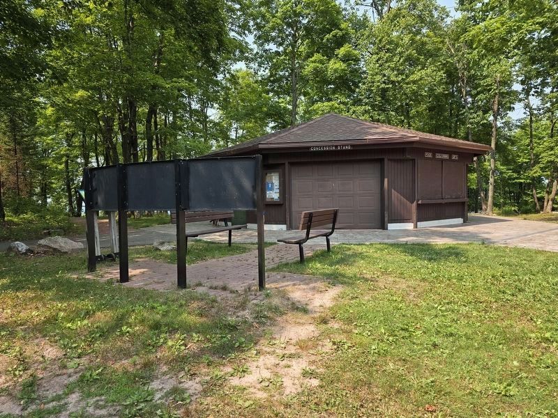
More about this marker. New three panel marker is now present near the concession stand.
Photographed by Keith L, June 8, 2008
3. Nearby Sign
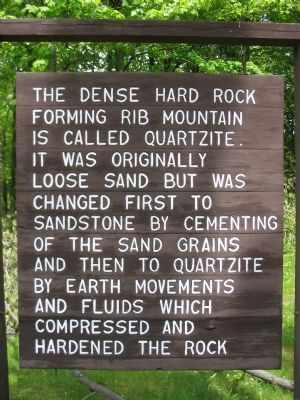
The dense hard rock forming Rib Mountain is called quartzite. It was originally loose sand but was changed first to sandstone by cementing of the sand grains and then to quartzite by Earth movements and fluids which compressed and hardened the rock.
Photographed by Susan Van Den Bosch, July 28, 2026
4. Current 3 Panel Information Markers.
Credits. This page was last revised on September 4, 2026. It was originally submitted on February 22, 2009, by Keith L of Wisconsin Rapids, Wisconsin. This page has been viewed 1,537 times since then and 71 times this year. Last updated on July 30, 2026, by Susan Van Den Bosch of Almond, Wisconsin. Photos: 1, 2, 3. submitted on February 22, 2009, by Keith L of Wisconsin Rapids, Wisconsin. 4. submitted on July 30, 2026, by Susan Van Den Bosch of Almond, Wisconsin. • Devry Becker Jones was the editor who published this page.
