Alberton in Mineral County, Montana — The American West (Mountains)
The Cyr Bridge
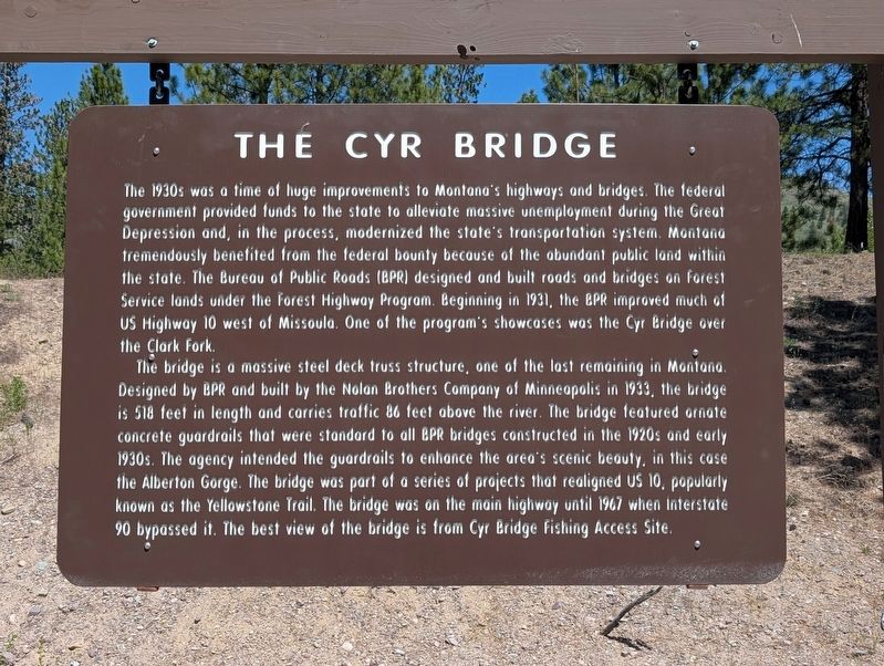
Photographed by Mike Vanderslice, May 24, 2026
1. Cyr Bridge Marker
The 1930s was a time of huge improvements to Montana's highways and bridges. The federal government provided funds to the state to alleviate massive unemployment during the Great Depression and, in the process, modernized the state's transportation system. Montana tremendously benefited from the federal bounty because of the abundant public land within the state. The Bureau of Public Roads (BPR) designed and built roads and bridges on Forest Service lands under the Forest Highway Program. Beginning in 1931, the BPR improved much of US Highway 10 west of Missoula. One of the program's showcases was the Cyr Bridge over the Clark Fork.
The bridge is a massive steel deck truss structure, one of the last remaining in Montana. Designed by BPR and built by the Nolan Brothers Company of Minneapolis in 1933, the bridge is 518 feet in length and carries traffic 86 feet above the river. The bridge featured ornate concrete guardrails that were standard to all BPR bridges constructed in the 1920s and early 1930s. The agency intended the guardrails to enhance the area's scenic beauty, in this case the Alberton Gorge. The bridge
this page online
Topics. This historical marker is listed in these topic lists: Bridges & Viaducts • Roads & Vehicles. A significant historical year for this entry is 1930.
Location. 47° 0.346′ N, 114° 34.635′ W. Marker is in Alberton, Montana, in Mineral County. It is on Old Highway 10 West, on the right when traveling west. Touch for map. Marker is at or near this postal address: 432 Old Highway 10 W, Alberton MT 59820, United States of America. Touch for directions.

Regionally, this marker is in Western Montana, in Glacier Country, and in Greater Missoula. It is also in the American Mountain West and in the Lewis & Clark Corridor. Globally, it is in North America, the Rocky Mountains, the Western Hemisphere, the Western World, and the Anglosphere. Historically, it finds itself in what was once Rupert’s Land and also the Louisiana Purchase.
Other nearby markers. At least 6 other markers are within 11 miles of this marker, measured as the crow flies: Flying High Across the Big Sky (approx. 1.7 miles away); Glacial Lake Missoula (approx. 2.9 miles away); A Wonderful Piece of Engineering: The Big Side Cut (approx. 2.9 miles away); The Natural Pier Bridge (approx. 3.4 miles away); The Ninemile Remount Depot (approx. 9½ miles away); a different marker also named A Wonderful Piece of Engineering: The Big Side Cut (approx. 10.2 miles away).
Also see . . . Clark Fork River Bridge, Milepost 0.2 on Old Highway 10, Alberton, Mineral County, MT. The Library of Congress has a Historic American Buildings Survey entry for the bridge and includes an extended history of the bridge and immediate vicinity. Photos taken during the survey in 2018 have not yet been made available online.
Significance: The Cyr Bridge is significant for its association with the Herbert Hoover Administration's make-work public works projects from 1931-1932. The administration, like Franklin Roosevelt's subsequent New Deal, funded road and bridge projects to provide employment to the nation's unemployed. This was one of many projects funded and built during the early 1930s under federal emergency regulations to maximize employment and provide the US with a modern infrastructure. Because this bridge was located within the boundaries of the Lolo National Forest, it was financed as a Forest Highway Project and designed and built under the auspices of the Bureau of Public Roads (BPR). The bridge is one of only a few deck truss bridges remaining in Montana and is atypical of the standard deck truss design. It is much larger than the other deck trusses because of the wide river crossing in the Alberton Gorge. The bridge also includes the standard reinforced concrete guard walls with semi-elliptical openings common to BPR bridges designed and built in the 1920s and 1930s. The Cyr Bridge retains excellent integrity and displays its original design and structural materials with virtually no modifications or alterations made to it since its construction in 1933.(Submitted on July 31, 2026.)
Credits. This page was last revised on July 31, 2026. It was originally submitted on July 30, 2026, by Mike Vanderslice of Phoenix, Arizona. This page has been viewed 18 times since then. Photo 1. submitted on July 30, 2026, by Mike Vanderslice of Phoenix, Arizona. • Andrew Ruppenstein was the editor who published this page.
Editor’s want-list for this marker. photo of the bridge • Can you help?
