Fisher in Polk County, Minnesota — The American Midwest (Upper Plains)
Original Site of Fisher's Landing
Photographed by Cosmos Mariner, August 29, 2022
1. Original Site of Fisher's Landing Marker
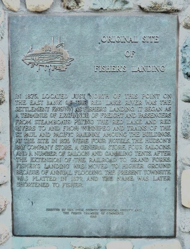
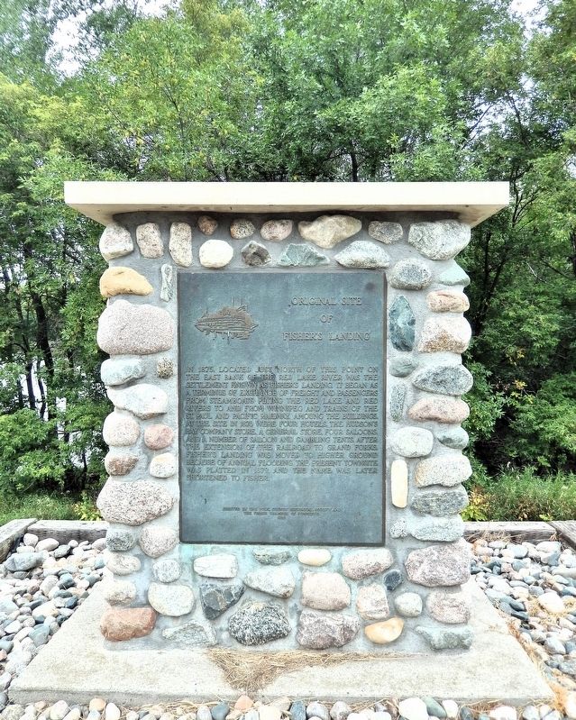
In 1875, located just north of this point on the east bank of the Red Lake River was the settlement known as Fisher’s Landing. It began as a terminus of exchange of freight and passengers from steamboats plying the Red Lake and Red Rivers to and from Winnipeg and trains of the St. Paul and Pacific Railway. Among the buildings, at the site in 1876 were four hotels, the Hudson’s Bay Company store, a general store, four saloons and a number of saloon and gambling tents. After the extension of the railroad to Grand Forks, Fisher’s Landing was moved to higher ground because of annual flooding. The present townsite was platted in 1879, and the name was later shortened to Fisher.
Erected 1983 by Polk County Historical Society and the Fisher Chamber of Commerce.
Topics. This historical marker is listed in these topic lists: Industry & Commerce • Railroads & Streetcars • Settlements & Settlers • Waterways & Vessels. A significant historical year for this entry is 1875.
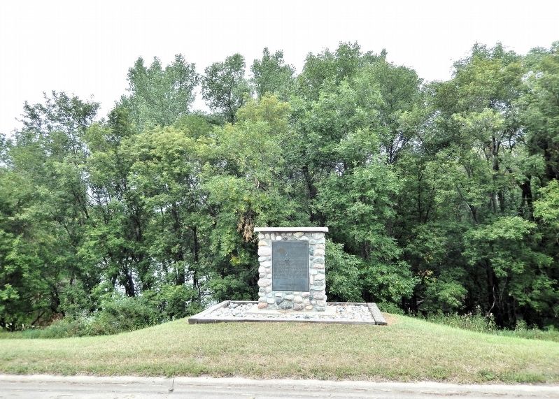
Location. 47° 48.072′ N, 96° 48.217′ W. Marker is in Fisher, Minnesota, in Polk County. It is on Demers Avenue (County Highway 15) 0.2 miles west
this page online

Regionally, this marker is in the Northland. It is also in the American Midwest, in the Corn Belt, on the prairies, on the Great Plains, and specifically on the Northern Plains. Globally, it is in North America, the Great North Woods, the Western Hemisphere, the Western World, and the Anglosphere. Historically, it finds itself in what was once Rupert’s Land, the territory of the Mississippian Culture, and the Louisiana Purchase.
Other nearby markers. At least 4 other markers are within 14 miles of this marker, measured as the crow flies: Welcome to Minnesota / Glacial Lake Agassiz (approx. 3.8 miles away); Veterans Memorial (approx. 9.4 miles away); Carnegie Library (approx. 9.4 miles away); Polk County (approx. 13½ miles away).
Also see . . .
1. Fisher's Landing History as a Red River Steamboat Port (Polk County Historical Society).
Excerpt: From 1875-1879, Fisher's Landing was the end of the railroad and JJ Hill and Norman Kittson(Submitted on July 30, 2026, by Cosmos Mariner of Cape Canaveral, Florida.)moved most of their steamboats to there, carrying freight and passengers north to Fort Garry (Winnipeg) and mostly furs back to The Landing, to be sent by rail to St. Paul. The rails that built the first railroad in Manitoba were hauled through The Landing, and the first locomotive, The Countess of Dufferin, along with a coal tender and flat cars, were loaded on barges at Fisher's and towed to Fort Garry by the steamboat Selkirk.Photographed by Cosmos Mariner, August 29, 20222. Original Site of Fisher's Landing MarkerOther steamboats operated out of Fargo-Moorhead during those years, but the round trip took four days longer on the average than from Fisher's Landing. Low water in the southern stretch of the Red River, particularly where the Goose River (at present Caledonia) meets the Red, caused many headaches. And lastly, under the monopoly of steamboat transportation by Hill and Kittson, the freight and passenger rates were about the same whether from Fargo or Fisher.
2. Fisher, Minnesota (Wikipedia).
Excerpt: Fisher is one of the oldest settlements in Polk County. It was originally named "Shirt-Tail Bend" because a shirt had once(Submitted on July 30, 2026, by Cosmos Mariner of Cape Canaveral, Florida.)been tied to a stick to warn steamboats of a bend in the river. It was renamed “Fisher's Landing,” and later shortened to Fisher. These names were adopted in honor of William H. Fisher, who was born in Hunterdon county, N. J., December 24, 1844; engaged in railroad business after 1864; settled in St. Paul in 1873, as attorney for the receiver of the St. Paul and Pacific railroad, and as its assistant manager and superintendent; later was president and manager of the St. Paul and Duluth railroad company, 1883–99; was vice president and general manager of the Duluth and Winnipeg railroad company, 1888-93.Photographed by Cosmos Mariner, August 29, 20223. Original Site of Fisher's Landing MarkerLooking north from Demers Avenue.
Credits. This page was last revised on July 30, 2026. It was originally submitted on July 30, 2026, by Cosmos Mariner of Cape Canaveral, Florida. This page has been viewed 33 times since then. Photos: 1, 2, 3. submitted on July 30, 2026, by Cosmos Mariner of Cape Canaveral, Florida.
