Saint-Germain-l'Auxerrois in Paris, Paris Region, France — Western Europe
Pont-Neuf
Histoire de Paris
⎯⎯⎯
History of Paris
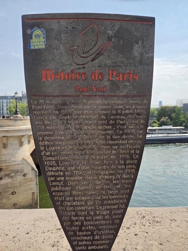
Photographed by James Hulse, July 30, 2026
1. Pont-Neuf Marker

Le 31 mai 1578, Henri III posait la première pierre du Pont-Neuf. Interrompus par la guerre civile, les travaux reprirent en 1599 pour être achevés le 8 juillet 1606. Conçu par Baptiste Androuet du Cerceau et Pierre des Illes, c’est le plus grand pont de Paris, long de 278 mètres pour ses douze arches ; c’est aussi le premier à ne plus porter de maisons. En 1608, sur la deuxième arche à partir de la rive droite, fut édifiée une pompe élévatrice qui alimentait en eau le Louvre et les Tuileries. Ornée sur sa façade d’un bas-relief en bronze figurant le Christ et la Samaritaine, elle fut détruite en 1813. En 1635, Louis XIII fit ériger, face à la place Dauphine, une statue équestre de son père, détruite en 1792 et remplacée en 1818 par une nouvelle statue d’Henri IV due à Lemot. Dans une ville où les voies publiques étaient étroites et les espaces libres rares, ce large pont était une aubaine pour les bateleurs et charlatans qui s’y installèrent dès son ouverture. Le premier fut Tabarin, dont la troupe jouait des farces en plein air, suivi par des bonimenteurs de toutes sortes, vendeurs de baume d’orviétan,
this page online
On May 31, 1578, Henry III laid the first stone of the Pont-Neuf. Interrupted by the civil war, construction resumed in 1599 and was completed on July 8, 1606. Designed by Baptiste Androuet du Cerceau and Pierre des Illes, it is the largest bridge in Paris, measuring 278 meters long and having twelve arches. It was also the first bridge in the city not to have houses built upon it. In 1608, a water-lifting pump was built on the second arch from the Right Bank to supply water to the Louvre and the Tuileries. Its façade was decorated with a bronze bas-relief depicting Christ and the Samaritan woman. The pump was demolished in 1813. In 1635, Louis XIII had an equestrian statue of his father erected opposite Place Dauphine. It was destroyed in 1792 and replaced in 1818 by a new statue of Henry IV created by Lemot. In a city where public streets were narrow and open spaces were scarce, this wide bridge was an ideal location for entertainers and charlatans, who began setting up there as soon as it opened. The first was Tabarin, whose troupe performed
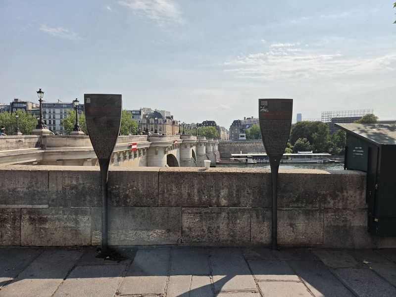
Photographed by James Hulse, July 30, 2026
2. Pont-Neuf Marker
The Pont-Neuf marker is on the left, and The Booksellers of the Seine marker is on the right.
Topics and series. This historical marker is listed in these topic lists: Bridges & Viaducts • Industry & Commerce • Waterways & Vessels. In addition, it is included in the Histoire de Paris series list. A significant historical date for this entry is May 31, 1578.
Location. 48° 51.509′ N, 2° 20.524′ E. Marker is in Paris, Ile-de-France (Paris Region). It is in Saint-Germain-l'Auxerrois. It is at the intersection of Quai du Louvre and Pont Neuf, on the right when traveling east on Quai du Louvre. Touch for map. Marker is at or near this postal address: 9183 Quai du Louvre, Paris, Ile-de-France 75001, France. Touch for directions.

Regionally, it is in the North Atlantic Region, Europe, the European Union, Atlantic Europe, the Schengen Area, Western Europe, a coastal Mediterranean country, and the Western World. Historically, it finds itself in what was once a French colony and also the Roman Empire.
Other nearby markers. At least 8 other markers are within walking distance
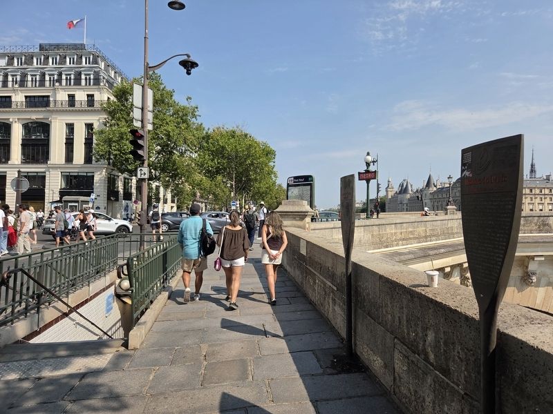
Photographed by James Hulse, July 30, 2026
3. Pont-Neuf Marker
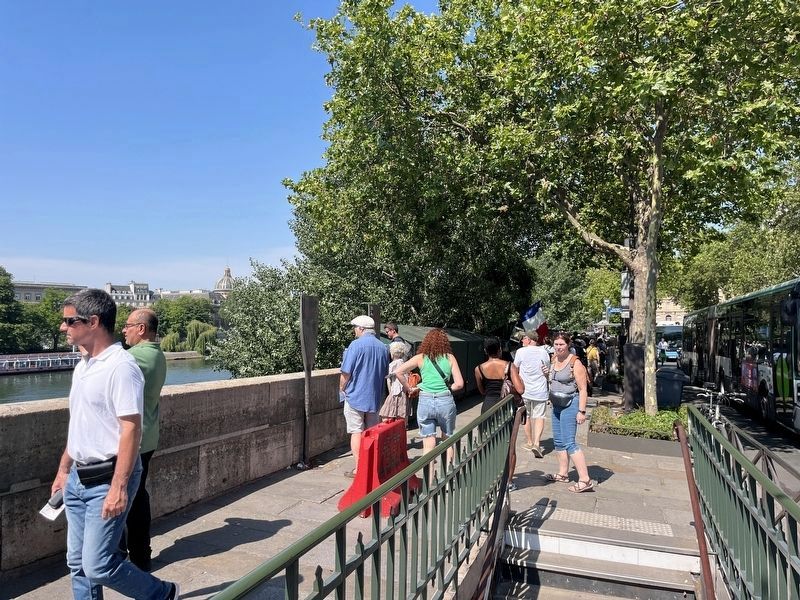
The view of the markers long the street and river.
Additional keywords. panneau
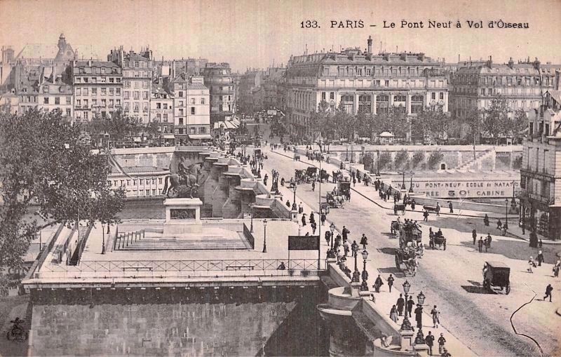
circa 1900
4. Pont-Neuf - bird’s-eye view, looking north
The statue of Henry IV is visible here on the left side of the bridge, mid-foreground, while the marker site itself is also visible here, albeit barely, on the far side of the Seine, just to the left of the bridge.
Photographed by Adam Margolis, June 19, 2026
5. Pont-Neuf Marker
Credits. This page was last revised on August 6, 2026. It was originally submitted on July 30, 2026, by James Hulse of Medina, Texas. This page has been viewed 18 times since then. Photos: 1, 2, 3. submitted on July 30, 2026, by James Hulse of Medina, Texas. 4. submitted on August 1, 2026. 5. submitted on August 4, 2026, by Adam Margolis of Mission Viejo, California.
