Cape Girardeau in Cape Girardeau County, Missouri — The American Midwest (Upper Plains)
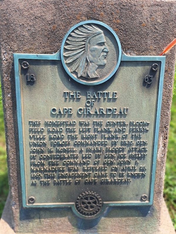
The Battle of Cape Girardeau
1863
Photographed by Jason Voigt, July 29, 2026
1. The Battle of Cape Girardeau Marker
This homestead was the center, Bloomfield Road the left flank, and Perryville Road the right flank, of the Union forces commanded by Brig. Gen. John H. McNeil. A sharp, bloody attack by Confederates led by Gen. Joe Shelby from the command of Gen. John S. Marmaduke was repulsed on April 26, 1863. This engagement came to be known as the Battle of Cape Girardeau.
Erected by Rotary International.
Topics and series. This historical marker is listed in this topic list: War, US Civil. In addition, it is included in the Rotary International series list. A significant historical date for this entry is April 26, 1863.
Location. 37° 18.767′ N, 89° 32.568′ W. Marker is in Cape Girardeau, Missouri, in Cape Girardeau County. It is at the intersection of Broadway Street and North Sunset Boulevard, on the right when traveling east on Broadway Street. Touch for map. Marker is at or near this postal address: 1818 Broadway St, Cape Girardeau MO 63701, United States of America. Touch for directions.

Regionally, this marker is in Southeast Missouri. It is also in the American Ozarks, in the Lewis & Clark Corridor, in the Corn Belt, and in the
this page online
Other nearby markers. At least 8 other markers are within one mile of this marker, measured as the crow flies: Capaha Park (approx. 0.4 miles away); World War I Memorial (approx. 0.4 miles away); Korean Memorial (approx. 0.4 miles away); World War II Memorial (approx. 0.4 miles away); Vietnam Memorial (approx. 0.4 miles away); Replica of the Statue of Liberty (approx. 0.4 miles away); George & Fred Naeter (approx. 0.7 miles away); St. James African Methodist Episcopal Church (approx. 1.1 miles away). Touch for a list and map of all markers in Cape Girardeau.
Also see . . . Battle of Cape Girardeau on Wikipedia. (Submitted on July 30, 2026, by Jason Voigt of Glen Carbon, Illinois.)
Photographed by Jason Voigt, July 29, 2026
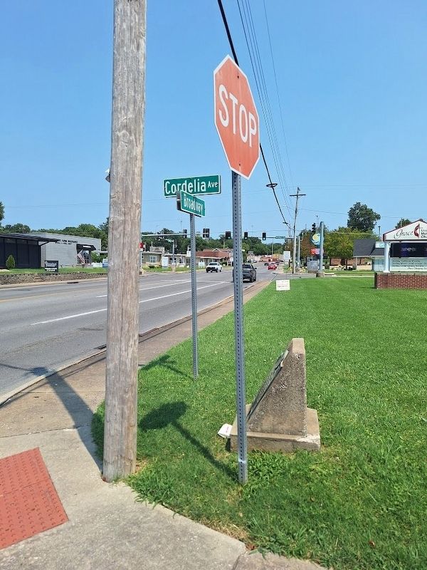
2. The Battle of Cape Girardeau Marker
looking east on Broadway
Photographed by Jason Voigt, July 29, 2026
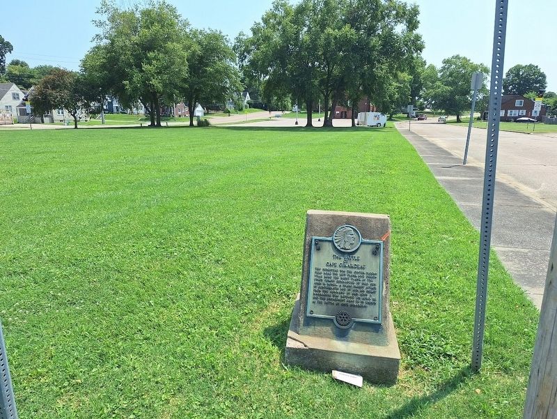
3. The Battle of Cape Girardeau Marker
Marker is in front of an empty grassy lot
Credits. This page was last revised on July 30, 2026. It was originally submitted on July 30, 2026, by Jason Voigt of Glen Carbon, Illinois. This page has been viewed 12 times since then. Photos: 1, 2, 3. submitted on July 30, 2026, by Jason Voigt of Glen Carbon, Illinois.
