Near Ripley in Chautauqua County, New York — The American Northeast (Mid-Atlantic)
East Ripley Cemetery
Photographed by Mark Parker, July 15, 2026
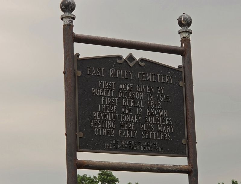
1. East Ripley Cemetery Marker
Robert Dickson in 1815.
First burial 1812.
There are 12 known
Revolutionary Soldiers
resting here, plus many
other early settlers.
This marker placed by
The Ripley Town Board 1981
Erected 1981 by The Ripley Town Board.
Topics. This historical marker is listed in these topic lists: Cemeteries & Burial Sites • Settlements & Settlers • War, US Revolutionary. A significant historical year for this entry is 1812.
Location. 42° 17.045′ N, 79° 40.311′ W. Marker is near Ripley, New York, in Chautauqua County. It is on West Main Street (U.S. 20) just east of Cemetery Road, on the right when traveling east. Touch for map. Marker is at or near this postal address: 9402 East Main Road, Ripley NY 14775, United States of America. Touch for directions.

Regionally, this marker is in Upstate New York, specifically in Western New York, and in the Southern Tier. It is also in the American Northeast, in the Mid-Atlantic, in Appalachia, and specifically in Northern Appalachia. Globally, it is in North America, on the Great Lakes, in the Western Hemisphere, in the Western World, and
this page online
Other nearby markers. At least 8 other markers are within 5 miles of this marker, measured as the crow flies: Birthplace of Dr. Benjamin Franklin Goodrich (approx. 2.3 miles away); Ripley Veterans' Roll of Honor Monument (approx. 2.3 miles away); "The Nation's Guest" (approx. 2.4 miles away); Hamilton Home (approx. 2½ miles away); Farm of Alexander Cochran (approx. 3½ miles away); Site of Farm of William Crossgrove 1807 (approx. 4.3 miles away); Oldest Settled Property in Chautauqua County (approx. 4.6 miles away); Early Settlers of Portland, Westfield & Ripley (approx. 4.9 miles away). Touch for a list and map of all markers in Ripley.
Photographed by Mark Parker, July 15, 2026
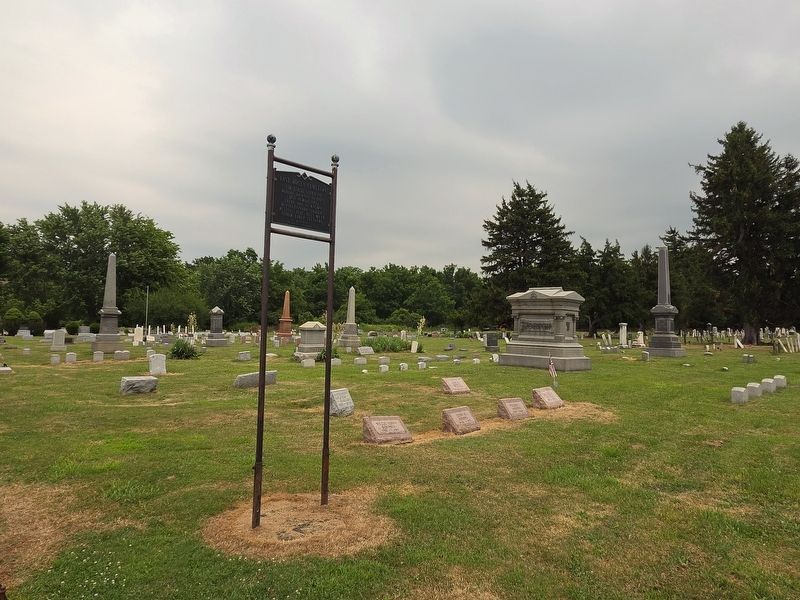
2. East Ripley Cemetery and Marker
Credits. This page was last revised on August 5, 2026. It was originally submitted on July 31, 2026, by Mark Parker of Hickory, North Carolina. This page has been viewed 16 times since then. Photos: 1, 2. submitted on July 31, 2026, by Mark Parker of Hickory, North Carolina. • Michael Herrick was the editor who published this page.
