Washington Township in Tazewell County, Illinois — The American Midwest (Great Lakes)
Tom Boyd Parkway
Photographed by Matthew Stevens, July 22, 2024
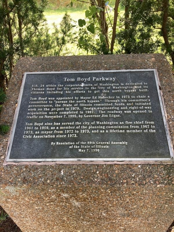
1. Tom Boyd Parkway Marker
U.S. 24 within the corporate limits of Washington is dedicated to Thomas Boyd for his service to the city of Washington and its citizens including his efforts to get this north bypass built.
Tom Boyd was appointed by Mayor Ed Habecker in 1973 to chair a committee to "pursue the north bypass." Through his committee's perseverance, the State of Illinois committed funds and initiated work on the project in 1979. Design engineering and right-of-way acquisition were completed in 1987. The roadway was opened to traffic on November 7, 1995, by Governor Jim Edgar.
Tom Boyd also has served the city of Washington as fire chief from 1961 to 1969, as a member of the planning commission from 1967 to 1973, as mayor from 1972 to 1973, and as a lifetime member of the Civic Association since 1973.
Erected 1996 by 89th General Assembly of the State of Illinois.
Topics. This historical marker is listed in these topic lists: Charity & Public Work • Industry & Commerce • Roads & Vehicles. A significant historical date for this entry is November 7, 1995.
Location. 40° 43.753′ N, 89° 24.873′ W. Marker is near Washington, Illinois, in
this page online

Regionally, this marker is in the Illinois River Valley and in Greater Peoria. It is also in the American Midwest and in the Corn Belt. Globally, it is in North America, the Western Hemisphere, the Western World, and the Anglosphere. Historically, it finds itself in what was once the territory of the Mississippian Culture and also the Northwest Territory.
Other nearby markers. At least 8 other markers are within 2 miles of this marker, measured as the crow flies: Washington Park Veterans Memorial (approx. 1.2 miles away); In Honor and Memory of U.S. Veterans (approx. 1.2 miles away); a different marker also named Washington Park Veterans Memorial (approx. 1.2 miles away); Washington Park District
Photographed by Matthew Stevens, July 22, 2024
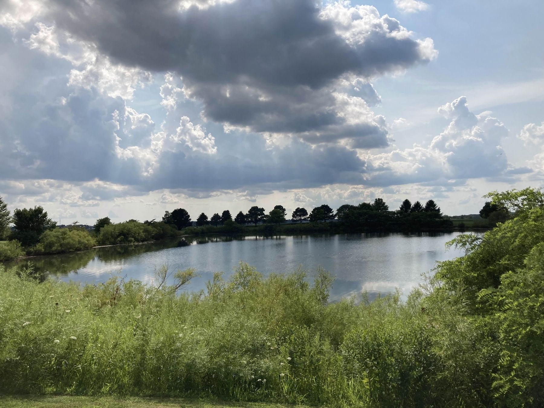
2. Photo of Bowen Lake Close by to the Marker
Also see . . .
1. Washington Rewind Article - The Bypass from the Beginning. Local article from the Washington Historical Society that discusses the development of Boyd Parkway, a bypass path of U.S. Route 24.
Excerpt: "It has been called many things over the years: Boyd Parkway, The North Bypass, FA-172, The Washington Bypass, and The Route 24 Bypass. It has probably also been called some things not appropriate for this publication..."(Submitted on July 31, 2026, by Matthew Stevens of Washington, Illinois.)
2. Washington Rewind Article - Thomas Boyd. Local biographic article by the Washington Historical Society on former mayor and person-of-interest of this marker, Thomas Boyd.
Excerpt: "Longtime servant of the people, Thomas Boyd, wore many hats in his service to Washington, and as a tribute, we all travel the road that bears his name."(Submitted on July 31, 2026, by Matthew Stevens of Washington, Illinois.)
Credits. This page was last revised on August 30, 2026. It was originally submitted on July 31, 2026, by Matthew Stevens of Washington, Illinois. This page has been viewed 35 times since then. Photos: 1, 2. submitted on July 31, 2026, by Matthew Stevens of Washington, Illinois. • Andrew Ruppenstein was the editor who published this page.
