Spaarndam in Spaarndam Gem. Haarlem in Haarlem, North Holland, Netherlands — Northwestern Europe
Woerdersluis
⎯⎯⎯
Woerder Sluice
Photographed by Andrew Ruppenstein, May 31, 2026
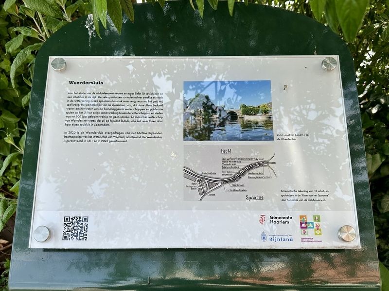
1. Woerdersluis / Woerder Sluice Marker

In 2020 is de Woerdersluis overgedragen van het Stichtse Rijnlanden (rechtsopvolger van het Waterschap van Woerden) aan Rijnland. De Woerdersluis, is gerenoveerd in 1611 en in 2025 gerestaureerd.
By the end of the Middle Ages, there were no fewer than ten drainage sluices and one navigation lock in the dike. However, the many drainage sluices constituted weak points in the flood defense system; they would sometimes wash away, allowing the tide to surge in
this page online
In 2020, the Woerdersluis was transferred from Stichtse Rijnlanden (the legal successor to the Woerden Water Board) to Rijnland. The Woerdersluis was renovated in 1611 and restored in 2025.
Erected 2026 by Gemeente Haarlem.
Topics. This historical marker is listed in this topic list: Waterways & Vessels. A significant historical year for this entry is 2020.
Location. 52° 24.809′ N, 4° 40.719′ E. Marker is in Spaarndam Gem. Haarlem, Noord-Holland (North Holland), in Haarlem. It is in Spaarndam. It is on Taanplaats. Touch for map. Marker is at or near this postal address: Taanplaats 2, Spaarndam Gem Haarlem, Noord-Holland 2063 JP, Netherlands. Touch for directions.

Regionally, it is in Europe, the European
Photographed by Andrew Ruppenstein, May 31, 2026
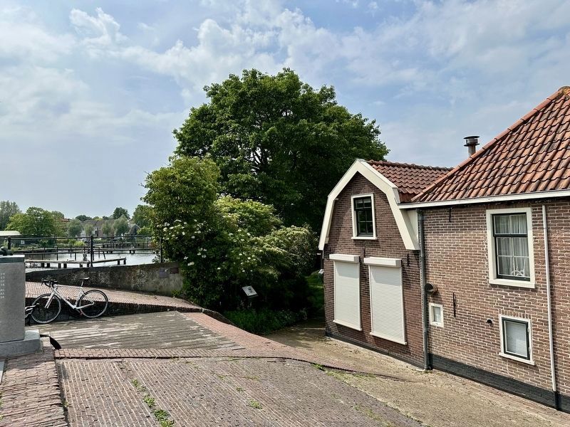
2. Woerdersluis / Woerder Sluice Marker - wide view
Taken from the top of the sluice, looking south. The marker is visible here standing in front of the shrubbery/tree.
Other nearby markers. At least 8 other markers are within walking distance of this marker: A different marker also named Woerdersluis / Woerder Sluice (here, next to this marker); Palingrokerij Balm en palinghandel / Balm Eel Smokehouse and Eel Trading (a few steps from this marker); Het haarlemse huis / The Haarlem House (within shouting distance of this marker); Spaarndam (within shouting distance of this marker); Hulpsecretarie / Municipal Branch Office (about 120 meters away, measured in a direct line); De Grote Haarlemmersluis / The Grote Haarlemmersluis (about 240 meters away); Het Rijnlandshuis / The Rijnland House (approx. 0.3 kilometers away); Het Rijnlandshuis / The Rijnlandshuis (approx. 0.3 kilometers away). Touch for a list and map of all markers in Spaarndam Gem. Haarlem.
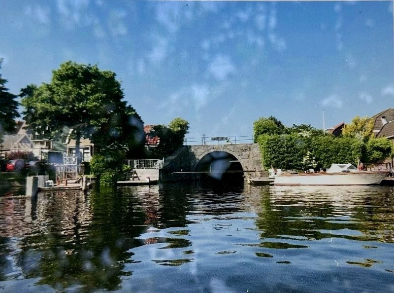
3. Marker photo: view of the Woerdersluis / Woerder Sluice from the Spaarne.
J. van Koot, courtesy Noord-Hollands Archief (Inventaris 36634), 1913
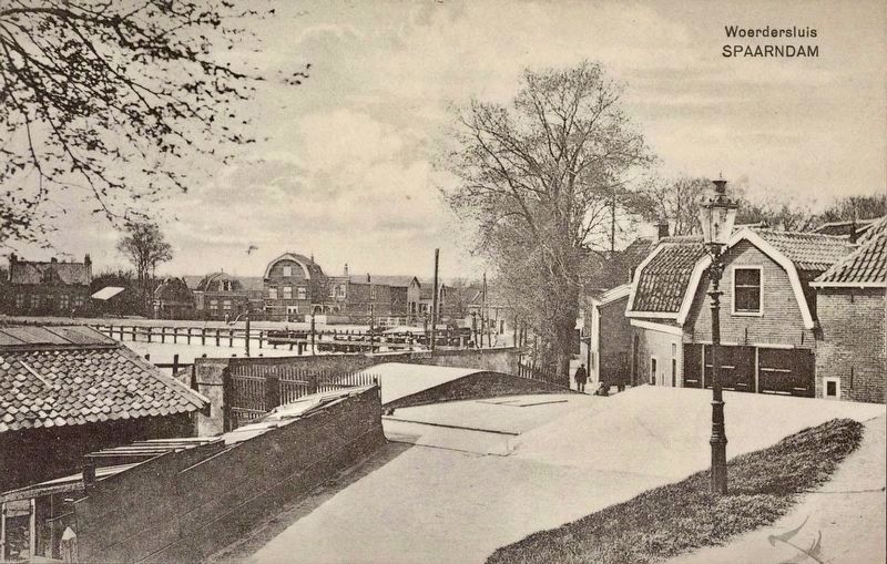
4. Woerdersluis, Spaarndam
The postcard depicts the top of south side of the sluice.
Credits. This page was last revised on August 1, 2026. It was originally submitted on August 1, 2026, by Andrew Ruppenstein of Lamorinda, California. This page has been viewed 12 times since then. Photos: 1, 2, 3. submitted on August 1, 2026, by Andrew Ruppenstein of Lamorinda, California. 4. submitted on July 7, 2026, by Andrew Ruppenstein of Lamorinda, California.
