Goderich in Huron County, Ontario — Central Canada (North America)
Tiger Dunlop’s Castle
—
Goderich Marine Heritage Walkway
—
Photographed by Tim Boyd, July 15, 2026
1. Tiger Dunlop’s Castle Marker
Inscription.
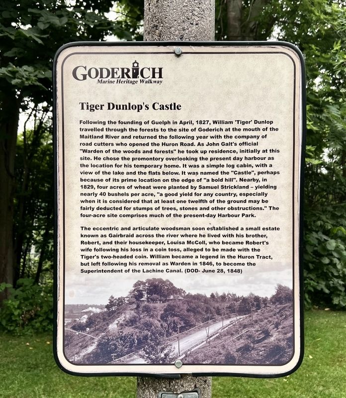
Tiger Dunlop’s Castle. . Following the founding of Guelph in April, 1827, William "Tiger” Dunlop travelled through the forests to the site of Goderich at the mouth of the Maitland River and returned the following year with the company of road cutters who opened the Huron Road. As John Galt's official "Warden of the woods and forests" he took up residence, initially at this site. He chose the promontory overlooking the present day harbour as the location for his temporary home. It was a simple log cabin, with a view of the lake and the flats below. It was named the "Castle", perhaps because of its prime location on the edge of "a bold hill". Nearby, in 1829, four acres of wheat were planted by Samuel Strickland - yielding nearly 40 bushels per acre, "a good yield for any country, especially when it is considered that at least one twelfth of the ground may be fairly deducted for stumps of trees, stones and other obstructions." The four-acre site comprises much of the present-day Harbour Park., The eccentric and articulate woodsman soon established a small estate known as Gairbraid across the river where he lived with his brother, Robert, and their housekeeper, Louisa McColl, who became Robert's wife following his loss in a coin toss, alleged to be made with the Tiger's two-headed coin. William became a legend in the Huron Tract, but left following his removal as Warden in 1846, to become the Superintendent of the Lachine Canal. (DOD- June 28, 1848)
Following the founding of Guelph in April, 1827, William "Tiger” Dunlop travelled through the forests to the site of Goderich at the mouth of the Maitland River and returned the following year with the company of road cutters who opened the Huron Road. As John Galt's official "Warden of the woods and forests" he took up residence, initially at this site. He chose the promontory overlooking the present day harbour as the location for his temporary home. It was a simple log cabin, with a view of the lake and the flats below. It was named the "Castle", perhaps because of its prime location on the edge of "a bold hill". Nearby, in 1829, four acres of wheat were planted by Samuel Strickland - yielding nearly 40 bushels per acre, "a good yield for any country, especially when it is considered that at least one twelfth of the ground may be fairly deducted for stumps of trees, stones and other obstructions." The four-acre site comprises much of the present-day Harbour Park.
The eccentric and articulate woodsman soon established a small estate known as Gairbraid across the river where he lived with his brother, Robert, and their
Click or scan to see this page online
housekeeper, Louisa McColl, who became Robert's wife following his loss in a coin toss, alleged to be made with the Tiger's two-headed coin. William became a legend in the Huron Tract, but left following his removal as Warden in 1846, to become the Superintendent of the Lachine Canal. (DOD- June 28, 1848)
Topics. This historical marker is listed in these topic lists: Roads & Vehicles • Settlements & Settlers. A significant historical year for this entry is 1827.
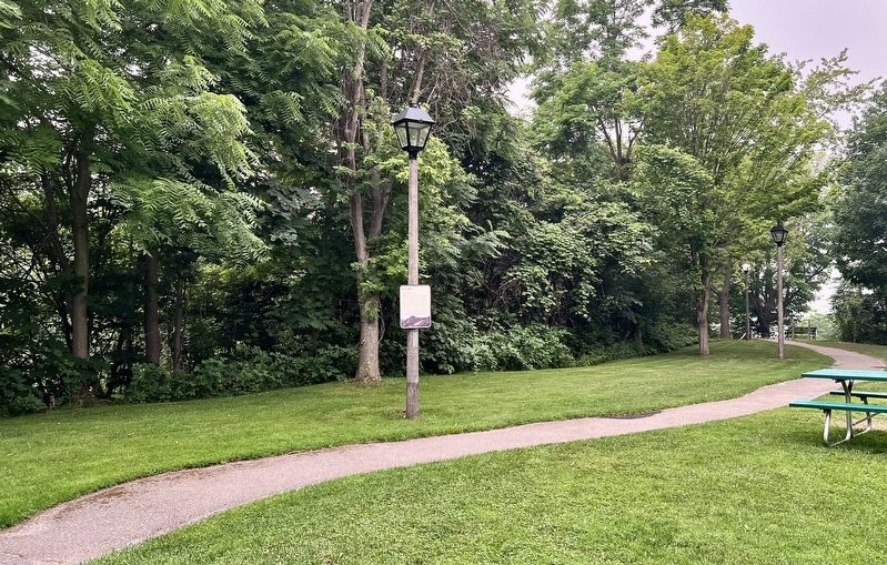
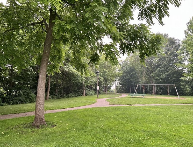
Location. 43° 44.616′ N, 81° 43.219′ W. Marker is in Goderich, Ontario, in Huron County. It can be reached from Harbour Street. The marker is in Lions Harbour Park, approx. 130 metres from the park entrance on Harbour Street or the parking lot. Touch for map. Marker is at or near this postal address: 166 Harbour Street, Goderich ON N7A 2K9, Canada. Touch for directions.
Regionally, this marker is in the Huron-Perth-Waterloo-Wellington Area and in Southwestern Ontario. It is also in Central Canada. Globally, it is in North America, the Western Hemisphere, the Western World, and the Anglosphere. Historically, it finds itself in what was once a British colony,
Photographed by Tim Boyd, July 15, 2026
2. Tiger Dunlop’s Castle Marker
the Viceroyalty of New France, the Haudenosaunee (Iroquois) Confederacy, and Rupert’s Land.
Credits. This page was last revised on August 1, 2026. It was originally submitted on August 1, 2026, by Tim Boyd of Hamilton, Ontario. This page has been viewed 4 times since then. Photos:1, 2, 3, 4. submitted on August 1, 2026, by Tim Boyd of Hamilton, Ontario. • Andrew Ruppenstein was the editor who published this page.