Culpeper in Culpeper County, Virginia — The American South (Mid-Atlantic)
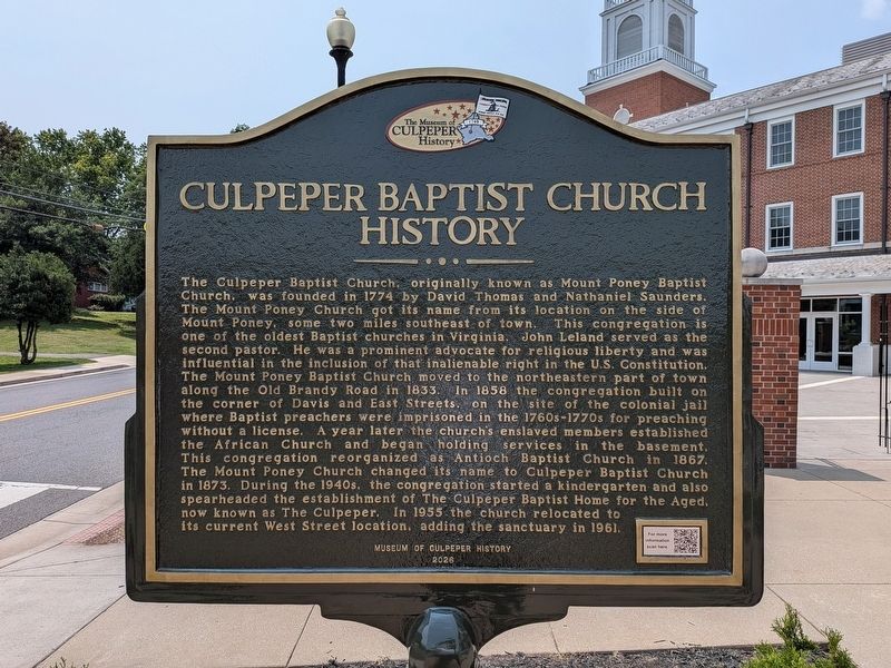
Culpeper Baptist Church History
Photographed by Evan Dwyer, July 27, 2026
1. Culpeper Baptist Church History Marker
this page online
Erected 2026 by Museum of Culpeper History.
Topics. This historical marker is listed in these topic lists: African Americans • Colonial Era • Religion & Religious Structures. A significant historical year for this entry is 1774.
Location. 38° 28.31′ N, 77° 59.908′ W. Marker is in Culpeper, Virginia, in Culpeper County. It is on West Street 0.1 miles south of Locust Street, on the right when traveling south. Touch for map. Marker is at or near this postal address: 318 S West St, Culpeper VA 22701, United States of America. Touch for directions.

Regionally, this marker is in the Washington Metropolitan Area and in Northern Virginia. It is also in the American South, specifically in the Upper South, and in the Mid-Atlantic. Globally, it is in North America, the Western Hemisphere, the Western World, and the Anglosphere. Historically, it finds itself in what was once the territory of the Mississippian Culture, one of the original
Photographed by Evan Dwyer, July 27, 2026
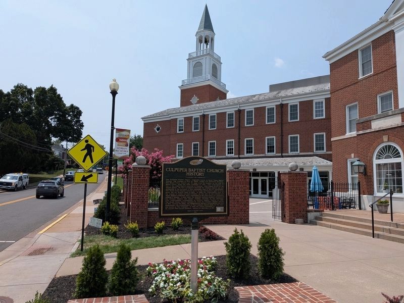
2. Culpeper Baptist Church History Marker
The 1961 sanctuary is behind the marker on the hill.
Other nearby markers. At least 8 other markers are within walking distance of this marker: Colonel John Jameson — 1751-1810 (about 300 feet away, measured in a direct line); Historic Antioch Baptist Church (about 400 feet away); The Blair Property and Sugar Bottom (about 400 feet away); Bell Tavern (about 500 feet away); Vietnam War Memorial (about 800 feet away); Confederate Memorial (about 800 feet away); 406 South East Street (approx. 0.2 miles away); 410 South East Street (approx. 0.2 miles away). Touch for a list and map of all markers in Culpeper.
Another marker is no longer nearby. A.P. Hill's Boyhood Home (was approx. 0.2 miles away but has been confirmed missing).
Regarding Culpeper Baptist Church History. Notably, the history of Mount Poney Church includes the name "Mount Poney" well before the Civil War - proving that mountain was not named for the Civil War-era pony carving sited on its heights, as was long local legend. There was at one time a marker/monument on the slope of Mount Pony, placed by the Association for the
Photographed by Evan Dwyer, October 25, 2025
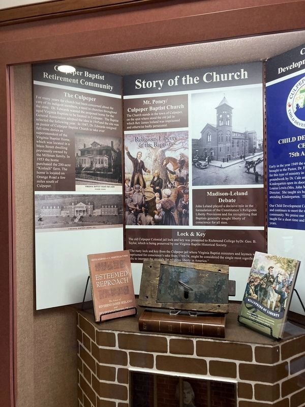
3. Culpeper Baptist Church History
Exhibit in the Museum of Culpeper History about the Baptists in Culpeper. It contains photos of the Baptist Retirement Home/Home for the Aged/The Culpeper, as well as information on the Baptist Preachers.
Photographed by Evan Dwyer, 2026
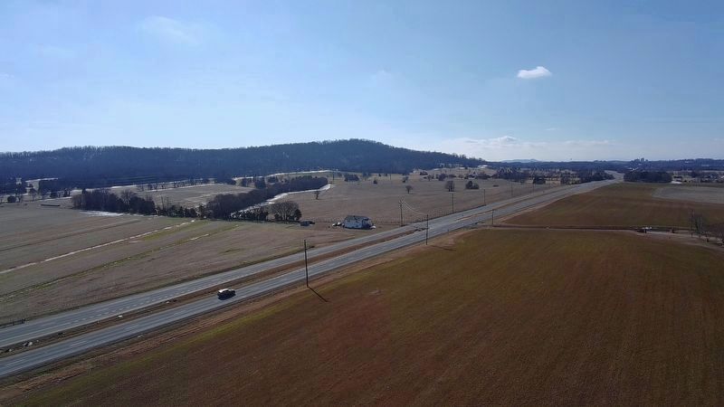
4. Mount Pony
Recreational drone view of the mountain that gave its name to Mount Poney Church in 1774. The church was at the far right side of the mountain from this orientation.
Photographed by Evan Dwyer, July 27, 2026
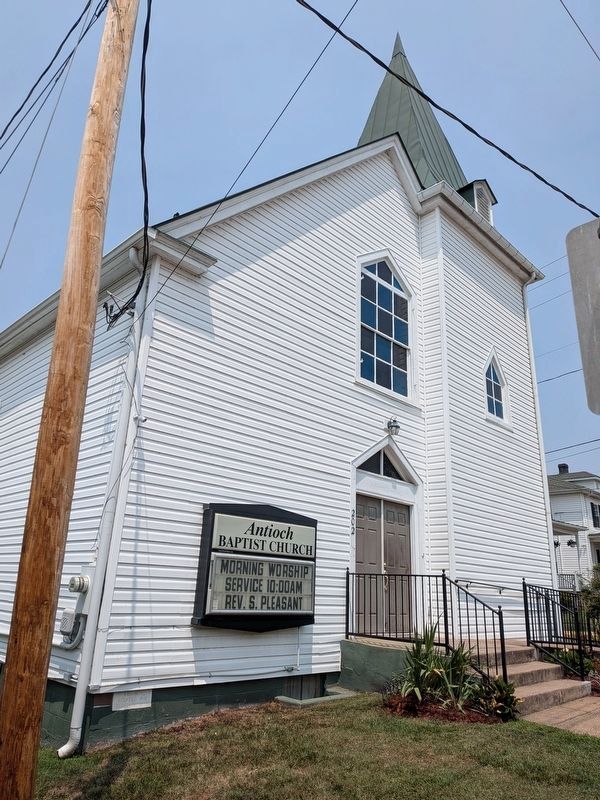
5. Antioch Baptist Church
Just north of Culpeper Baptist Church (440' from the marker), on the same (west) side of West Street, is the current location of Antioch Church, which broke off from Mount Poney Church in 1859 and reorganized under the Antioch name in 1867. Antioch relocated from the east side of town to this area of West Street in 1886; Culpeper Baptist followed suit only in 1955, bringing the two churches once again into close proximity for the first time since 1867.
Credits. This page was last revised on August 1, 2026. It was originally submitted on August 1, 2026, by Evan Dwyer of Richmond, Virginia. This page has been viewed 15 times since then. Photos: 1, 2, 3, 4, 5. submitted on August 1, 2026, by Evan Dwyer of Richmond, Virginia.
Editor’s want-list for this marker. Information/Photos of the Mount Poney APVA Marker • Can you help?
