Near Brookneal in Campbell County, Virginia — The American South (Mid-Atlantic)
Henry Family Cemetery
Patrick Henry's Red Hill
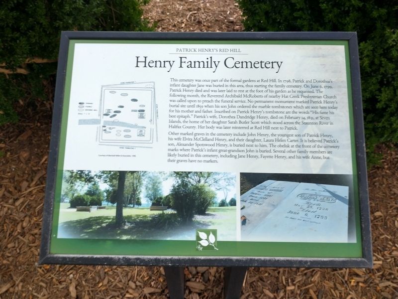
Photographed by Tom Bosse, July 4, 2026
1. Henry Family Cemetery Marker
Other marked graves in the cemetery include John henry, the youngest son of Patrick Henry, his wife Elvira McClelland henry, and their daughter, Laura Helen Carter. It is believed Patrick’s son, Alexander Spotswood
this page online
Erected by Patrick Henry National Memorial.
Topics. This historical marker is listed in this topic list: Cemeteries & Burial Sites. A significant historical date for this entry is June 6, 1799.
Location. 37° 1.934′ N, 78° 53.826′ W. Marker is near Brookneal, Virginia, in Campbell County. It can be reached from Red Hill Road (County Route 677) 1.2 miles south of Patrick Henry Road (County Route 619), on the left when traveling south. Marker is located at Red Hill Patrick Henry National Memorial. Touch for map. Marker is at or near this postal address: 1250 Red Hill Rd, Brookneal VA 24528, United States of America. Touch for directions.

Regionally, this marker is in the Piedmont and in Central Virginia. It is also in the American South and specifically in the Upper South. Globally, it is in North America, the Western Hemisphere, the Western World, and
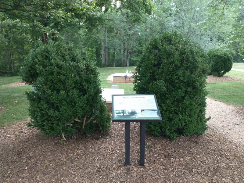
Photographed by Tom Bosse, July 4, 2026
2. Henry Family Cemetery Marker
Other nearby markers. At least 8 other markers are within walking distance of this marker: Last Law Office of Patrick Henry (within shouting distance of this marker); Henry's Law Office (within shouting distance of this marker); The Nancy Case Kelly Memorial Herb Garden (within shouting distance of this marker); Osage Orange Tree (within shouting distance of this marker); Slave Cabin (within shouting distance of this marker); Kitchen (within shouting distance of this marker); Harrison's Cabin (about 300 feet away, measured in a direct line); a different marker also named Osage Orange Tree (about 300 feet away). Touch for a list and map of all markers in Brookneal.
Also see . . . Red Hill. Patrick Henry National Memorial (Submitted on August 4, 2026.)
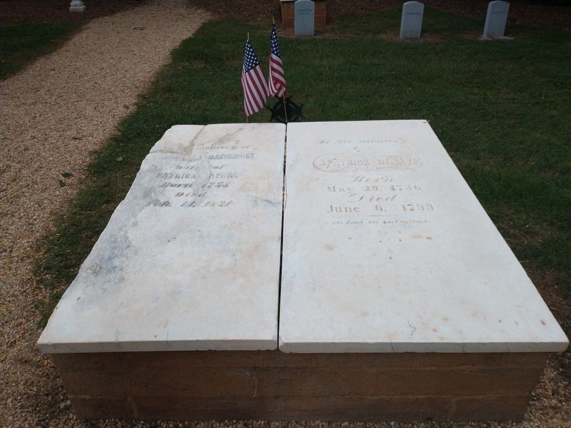
Photographed by Tom Bosse, July 4, 2026
3. Graves of Patrick and Dorothea Henry
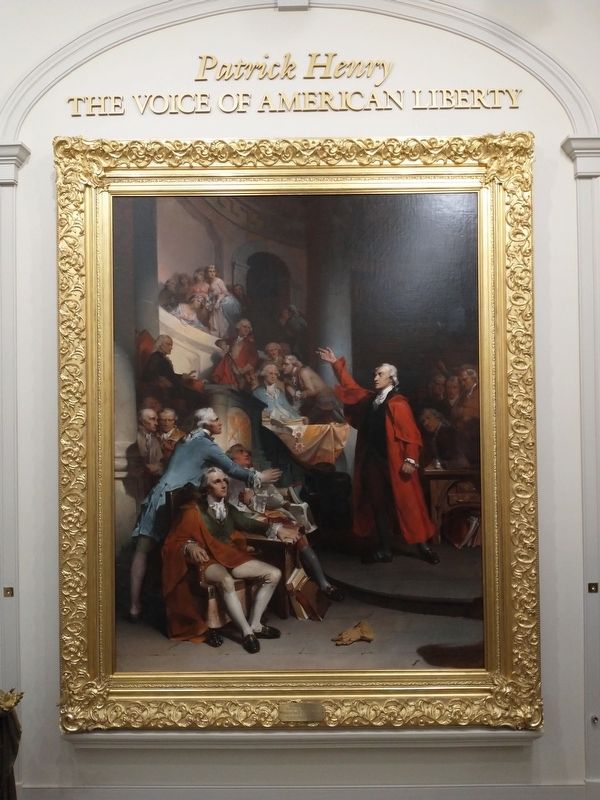
Photographed by Tom Bosse, July 4, 2026
4. Patrick Henry - The Voice of American Liberty
Credits. This page was last revised on August 4, 2026. It was originally submitted on August 2, 2026, by Tom Bosse of Jefferson City, Tennessee. This page has been viewed 18 times since then. Photos: 1, 2, 3, 4. submitted on August 2, 2026, by Tom Bosse of Jefferson City, Tennessee. • Bernard Fisher was the editor who published this page.
