Peninsula State Park in Fish Creek in Door County, Wisconsin — The American Midwest (Great Lakes)
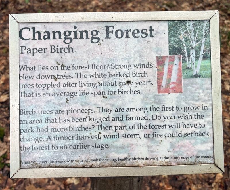
Changing Forest
Paper Birch
Photographed by Sean P. Flynn, July 31, 2026
1. Changing Forest Marker
Birch trees are pioneers. They are among the first to grow in an area that has been logged and farmed. Do you wish the park had more birches? Then part of the forest will have to change. A timber harvest, wind storm, or fire could set back the forest to an earlier stage.
When you enter the meadow to your left look for young, healthy birches thriving at the sunny edge of the woods.
Topics. This historical marker is listed in these topic lists: Horticulture & Forestry • Parks & Recreational Areas.
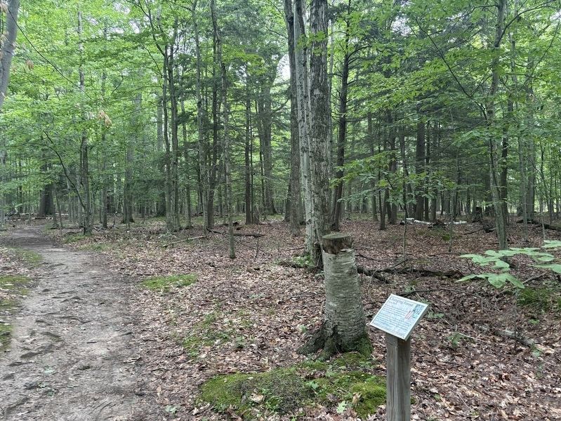
Location. 45° 9.504′ N, 87° 12.63′ W. Marker is in Fish Creek, Wisconsin, in Door County. It is in Peninsula State Park. It can be reached from Skyline Road 2 miles north of Wisconsin Highway 42. The marker is on the Sentinel Trail at Peninsula State Park, about a ¾-mile hike from Eagle Tower. Touch for map. Marker is in this post office area: Fish Creek WI 54212, United States of America. Touch for directions.

Regionally,
this page online
Other nearby markers. At least 8 other markers are within walking distance of this marker: A Tree That Heals (within shouting distance of this marker); Past Life (about 500 feet away, measured in a direct line); Northwoods Newcomer (about 700 feet away); Forest Nursery (approx. 0.2 miles away); Triple Trunk (approx. ¼ mile away); Rock Pavement (approx. ¼ mile away); The Candelabra Tree (approx. 0.3 miles away); A Worldly Pine (approx. 0.3 miles away). Touch for a list and map of all markers in Fish Creek.
Photographed by Sean P. Flynn, July 31, 2026
2. Changing Forest Marker
Credits. This page was last revised on August 3, 2026. It was originally submitted on August 2, 2026, by Sean P. Flynn of Oak Park, Illinois. This page has been viewed 12 times since then. Photos: 1, 2. submitted on August 2, 2026, by Sean P. Flynn of Oak Park, Illinois.
