Lusby in Calvert County, Maryland — The American Northeast (Mid-Atlantic)
Lighthouse
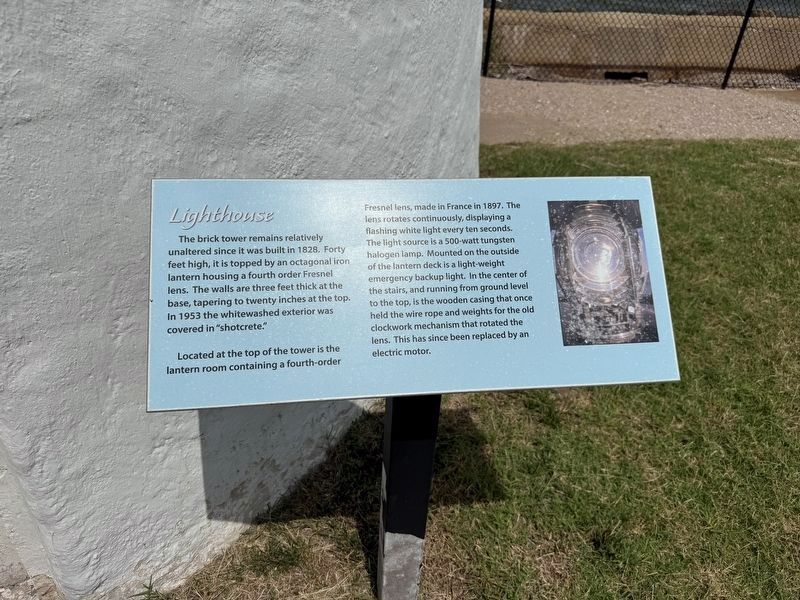
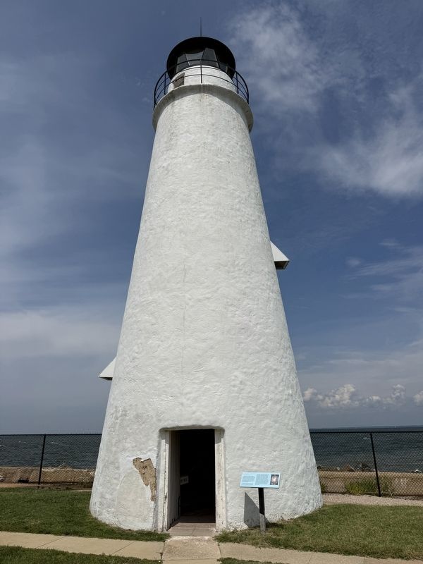
The brick tower remains relatively unaltered since it was built in 1828. Forty feet high, it is topped by an octagonal iron lantern housing a fourth order Fresnel lens. The walls are three feet thick at the base, tapering to twenty inches at the top. In 1953 the whitewashed exterior was covered in "shotcrete."
Located at the top of the tower is the lantern room containing a fourth-order Fresnel lens, made in France in 1897. The lens rotates continuously, displaying a flashing white light every ten seconds. The light source is a 500-watt tungsten halogen lamp. Mounted on the outside of the lantern deck is a light-weight emergency backup light. In the center of the stairs, and running from ground level to the top, is the wooden casing that once held the wire rope and weights for the old clockwork mechanism that rotated the lens. This has since been replaced by an electric motor.
Topics and series. This historical marker is listed in these topic lists: Communications • Waterways & Vessels. In addition, it is included in the Lighthouses series list. A significant historical year for this entry is 1828.
Location. 38° 23.173′ N, 76° 22.906′ W.
this page online

Regionally, this marker is in Southern Maryland. It is also in the American South, specifically in the Upper South, in the Mid-Atlantic, in the Tidewater, in the Chesapeake Bay Region, and on the Eastern Seaboard. Globally, it is in the North Atlantic Region, North America, the Western Hemisphere, the Western World, and the Anglosphere. Historically, it finds itself in what was once one of the original Thirteen Colonies and also the Antebellum South.
Other nearby markers. At least 8 other markers are within walking distance of this marker: 1901 Fog Signal Building (here, next to this marker); Keeper's Residence (a few steps from this marker); Generator/Fog Signal Building (a few steps from this marker); a different marker also named Generator/Fog Signal Building (a few steps from this marker); Maritime Exchange Tower (within shouting distance
Photographed by Devry Becker Jones (CC0), August 1, 2026
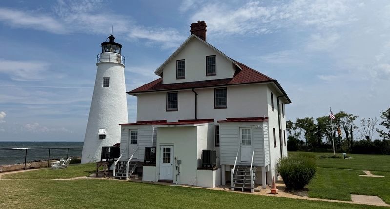
3. The Cove Point Lighthouse and the Keeper's House
Credits. This page was last revised on August 2, 2026. It was originally submitted on August 2, 2026, by Devry Becker Jones of Washington, District of Columbia. This page has been viewed 14 times since then. Photos: 1, 2, 3. submitted on August 2, 2026, by Devry Becker Jones of Washington, District of Columbia.
