St. Leonard in Calvert County, Maryland — The American Northeast (Mid-Atlantic)
"O! say can you see…"
Star-Spangled Banner National Historical Trail
| — | National Park Service, U.S. Department of the Interior | — |
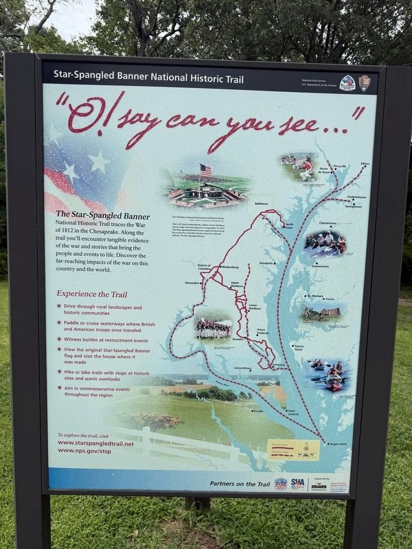
The Star-Spangled Banner National Historic Trail traces the War of 1812 in the Chesapeake. Along the trail you'll encounter tangible evidence of the war and stories that bring the people and events to life. Discover the far-reaching impacts of the war on this county and the world.
Experience the Trail
✶ Drive through rural landscapes and historic communities
✶ Paddle or cruise waterways where British and American troops once traveled
✶ Witness battles at reenactment events
✶ View the original Star-Spangled Banner flag and visit the house where it was made
✶ Hike or bike trails with stops at historic sites and scenic overlooks
✶ Join in commemorative events throughout the region
[Caption:]
Fort McHenry National Monument and Historic Shrine
After a 25-hour bombardment, soldiers at Fort McHenry raised a large American flag early on September 14, 1814. That flag, signaling British retreat, inspired Francis Scott Key to pen the words that became America's national anthem, The Star-Spangled Banner.
Erected by National Park Service, U.S. Department of the Interior.
this page online
Topics and series. This historical marker is listed in these topic lists: Forts and Castles • War of 1812 • Waterways & Vessels. In addition, it is included in the Star-Spangled Banner National Historic Trail series list. A significant historical date for this entry is September 14, 1814.
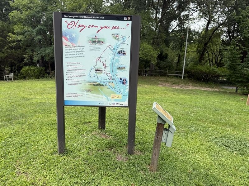
Location. 38° 23.955′ N, 76° 30.393′ W. Marker is in St. Leonard, Maryland, in Calvert County. It is on Jefferson Patterson Park Entrance Road east of Jefferson Patterson Park Exit Road, on the left when traveling west. Touch for map. Marker is at or near this postal address: 10115 Mackall Rd, Saint Leonard MD 20685, United States of America. Touch for directions.

Regionally, this marker is in Southern Maryland. It is also in the American South, specifically in the Upper South, in the Mid-Atlantic, in the Tidewater, in the Chesapeake Bay Region, and on the Eastern Seaboard. Globally, it is in the North Atlantic Region, North America, the Western Hemisphere, the Western World, and the Anglosphere. Historically, it finds itself in what was once one of the original Thirteen Colonies and also the Antebellum South.
Other nearby markers. At least
Credits. This page was last revised on August 2, 2026. It was originally submitted on August 2, 2026, by Devry Becker Jones of Washington, District of Columbia. This page has been viewed 10 times since then. Photos: 1, 2. submitted on August 2, 2026, by Devry Becker Jones of Washington, District of Columbia.
