Montevallo in Shelby County, Alabama — The American South (East South Central)
Montevallo City Cemetery
Shelby County
Photographed by Jimmy Emerson, July 29, 2026
1. Montevallo City Cemetery Marker
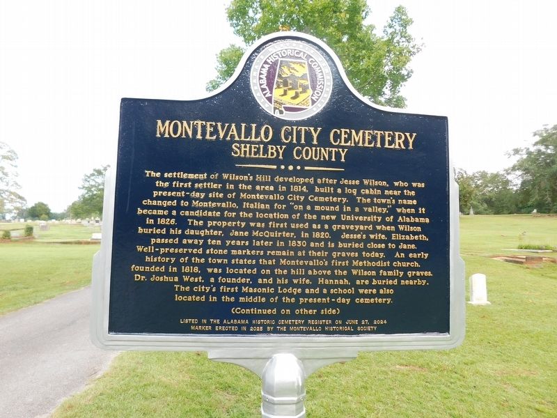
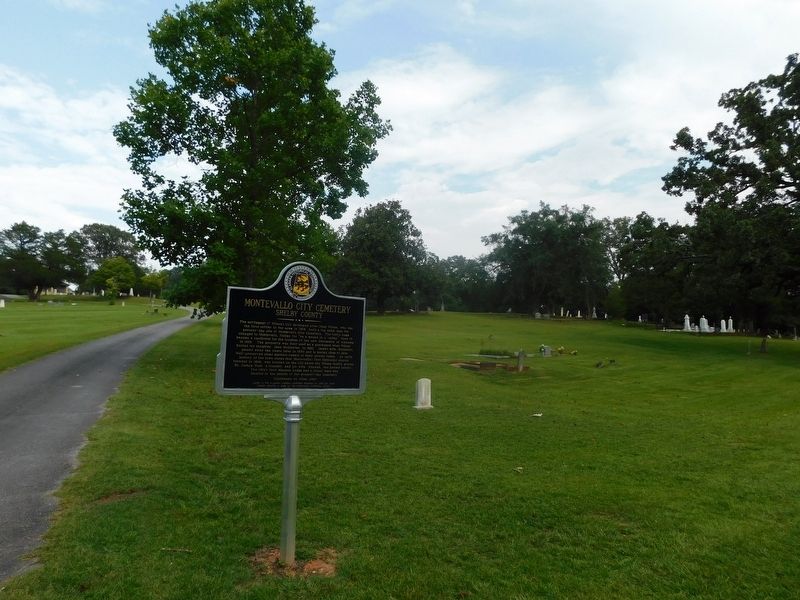
The settlement of Wilson's Hill developed after Jesse Wilson, who was the first settler in the area in 1814, built a log cabin near the present-day site of Montevallo City Cemetery. The town's name changed to Montevallo, Italian for "on a mound in a valley," when it became a candidate for the location of the new University of Alabama in 1826. The property was first used as a graveyard when Wilson buried his daughter, Jane McQuirter, in 1820. Jesse's wife, Elizabeth, passed away ten years later in 1830 and is buried close to Jane. Well-preserved stone markers remain at their graves today. An early history of the town states that Montevallo's first Methodist church. founded in 1818, was located on the hill above the Wilson family graves. Dr. Joshua West, a founder, and his wife, Hannah, are buried nearby. The city's first Masonic Lodge and a school were also located in the middle of the present-day cemetery.
(Reverse Side)
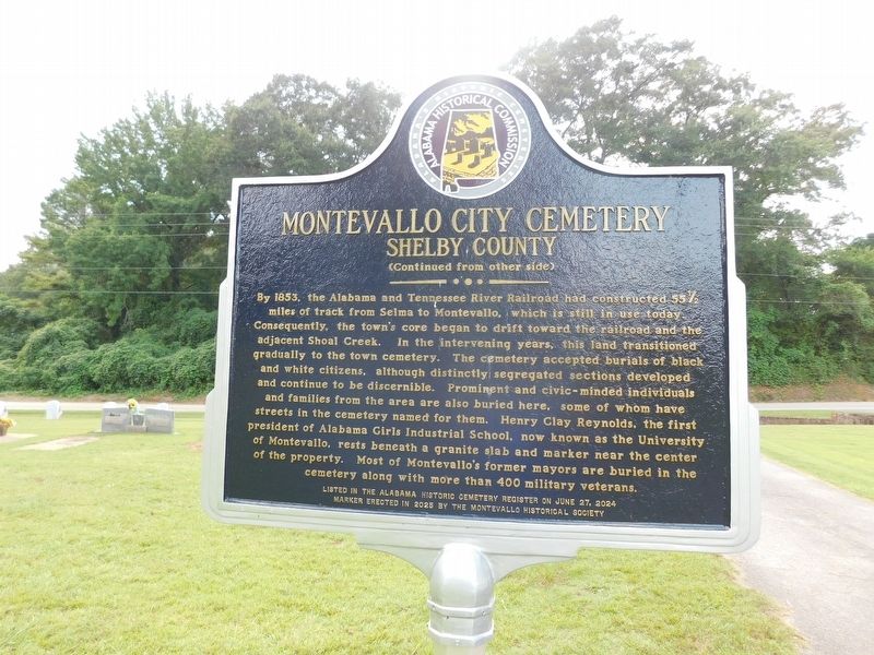
By 1853, the Alabama and Tennessee River Railroad had constructed 55% miles of track from Selma to Montevallo, which is still in use today, Consequently, the town's core began to drift
this page online
Erected 2025 by Montevallo Historical Society and Alabama Historical Commission.
Topics. This historical marker is listed in these topic lists: Cemeteries & Burial Sites • Settlements & Settlers. A significant historical year for this entry is 1820.
Location. 33° 5.264′ N, 86° 52.14′ W. Marker is in Montevallo, Alabama, in Shelby County. It is
Photographed by Jimmy Emerson, July 29, 2026
2. Montevallo City Cemetery Marker

Regionally, this marker is in the Birmingham Metropolitan Area. It is also in the American South and specifically in the Deep South. Globally, it is in North America, a Gulf of Mexico state, the Western Hemisphere, the Western World, and the Anglosphere. Historically, it finds itself in what was once New Spain, the territory of the Mississippian Culture, one of the Confederate States of America, and the Antebellum South.
Other nearby markers. At least 8 other markers are within one mile of this marker, measured as the crow flies: Prentice High School (approx. half a mile away); Selma Road (approx. half a mile away); Shiloh Missionary Baptist Church (approx. 0.6 miles away); The Mason Hall (approx. 0.6 miles away); Ward Chapel A.M.E. Church (approx. 0.8 miles away); Lynching in America / Lynching in Montevallo (approx. 0.9 miles away); Welcome To Historic Montevallo (approx.
Photographed by Jimmy Emerson, July 29, 2026
3. Montevallo City Cemetery Marker
Credits. This page was last revised on August 7, 2026. It was originally submitted on August 2, 2026, by Jimmy Emerson of Dalton, Georgia. This page has been viewed 12 times since then. Photos: 1, 2, 3. submitted on August 2, 2026, by Jimmy Emerson of Dalton, Georgia. • James Hulse was the editor who published this page.
