Kincardine in Bruce County, Ontario — Central Canada (North America)
The Kincardine Lighthouse
Photographed by Tim Boyd, July 16, 2026
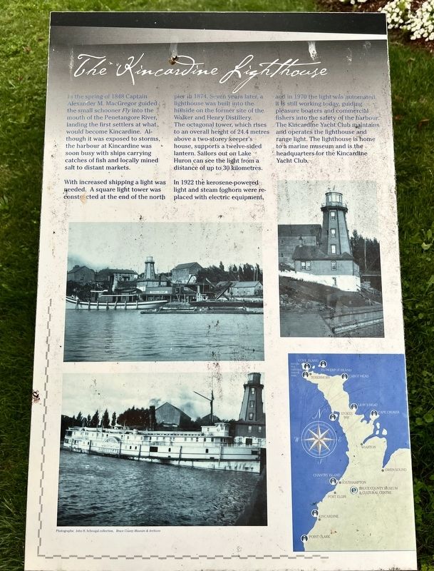
1. The Kincardine Lighthouse Marker
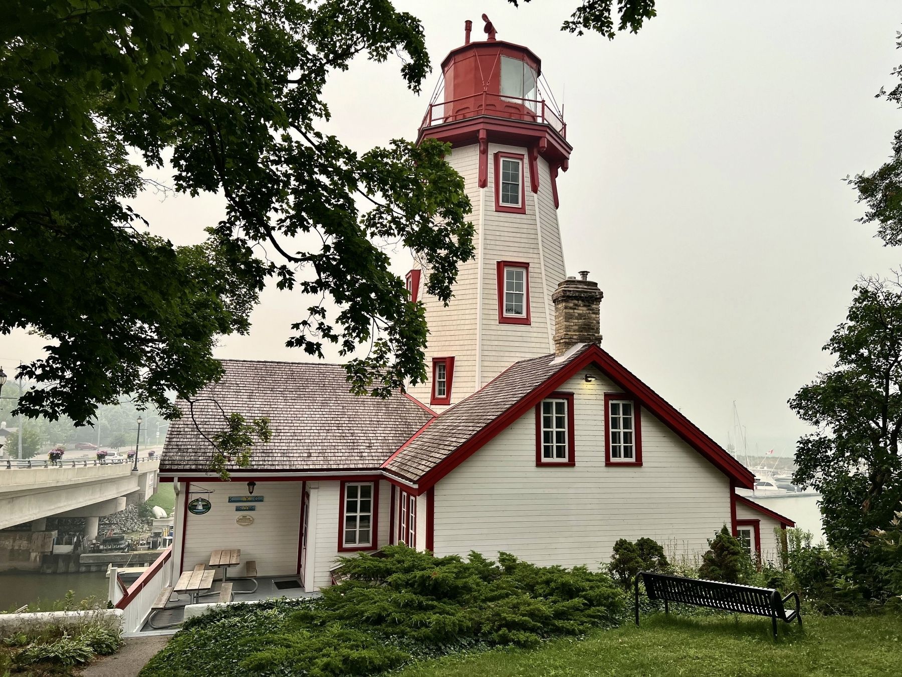
With increased shipping a light was needed. A square light tower was constructed at the end of the north pier in 1874. Seven years later, a lighthouse was built into the hillside on the former site of the Walker and Henry Distillery. The octagonal tower, which rises to an overall height of 24.4 metres above a two-storey keeper's house, supports a twelve-sided lantern. Sailors out on Lake Huron can see the light from a distance of up to 30 kilometres.
In 1922 the kerosene-powered light and steam foghorn were re-placed with electric equipment, and in 1970 the light was automated. It is still working today, guiding pleasure boaters and commercial fishers into the safety of the harbour. The Kincardine Yacht Club maintains and operates the lighthouse and range light. The lighthouse
this page online
Topics and series. This historical marker is listed in these topic lists: Settlements & Settlers • Waterways & Vessels. In addition, it is included in the Lighthouses series list. A significant historical year for this entry is 1848.
Location. 44° 10.633′ N, 81° 38.279′ W. Marker is in Kincardine, Ontario, in Bruce County. It is at the intersection of Harbour Street and Huron Terrace, on the left when traveling west on Harbour Street. Touch for map. Marker is at or near this postal address: 236 Harbour St, Kincardine ON N2Z 2Y2, Canada. Touch for directions.

Regionally, this marker is in Georgian Bay Country and in Southwestern Ontario. It is also in Central Canada. Globally, it is in North America, on the Great Lakes, in the Western Hemisphere, in the Western World, and in the Anglosphere. Historically, it finds itself in what was once a British colony, the Viceroyalty of New France, the Haudenosaunee (Iroquois) Confederacy, and Rupert’s Land.
Other nearby markers. At least 7 other markers are within 18 kilometers of this marker,
Photographed by Tim Boyd, July 16, 2026
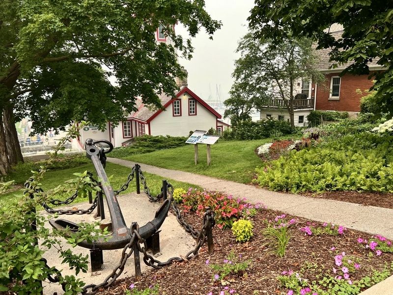
2. The Kincardine Lighthouse Marker
The left of the two
Photographed by Tim Boyd, July 16, 2026
3. The Kincardine Lighthouse in 2026
Credits. This page was last revised on August 3, 2026. It was originally submitted on August 3, 2026, by Tim Boyd of Hamilton, Ontario. This page has been viewed 14 times since then. Photos: 1, 2, 3. submitted on August 3, 2026, by Tim Boyd of Hamilton, Ontario. • Andrew Ruppenstein was the editor who published this page.
