Kincardine in Bruce County, Ontario — Central Canada (North America)
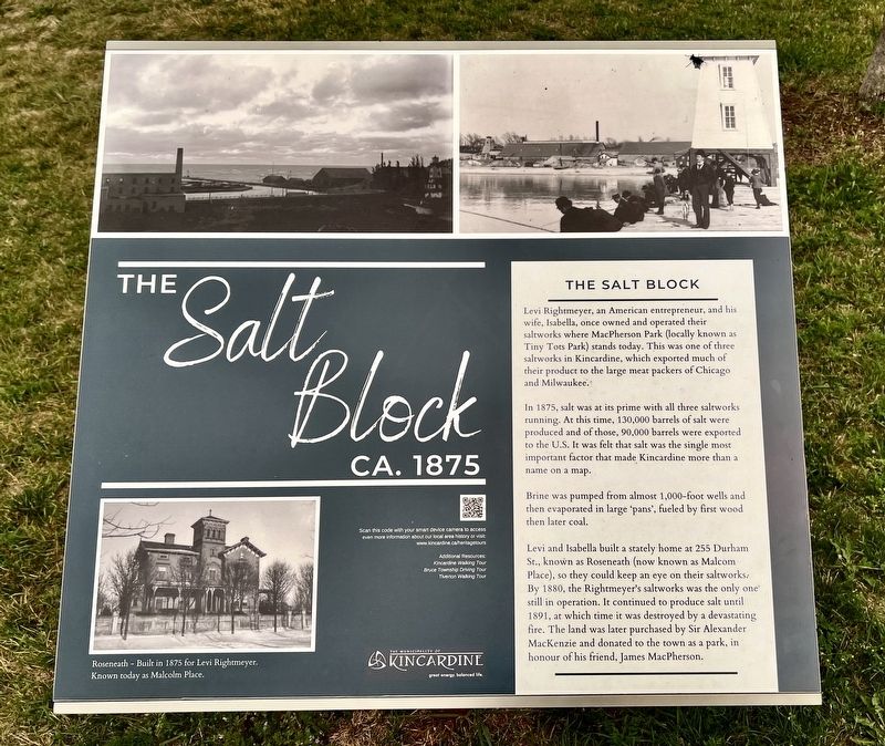
The Salt Block
ca. 1875
Photographed by Tim Boyd, July 16, 2026
1. The Salt Block Marker
In 1875, salt was at its prime with all three saltworks running. At this time, 130,000 barrels of salt were produced and of those, 90,000 barrels were exported to the U.S. It was felt that salt was the single most important factor that made Kincardine more than a name on a map.
Brine was pumped from almost 1,000-foot wells and then evaporated in large 'pans', fueled by first wood then later coal.
Levi and Isabella built a stately home at 255 Durham St., known as Roseneath (now known as Malcom Place), so they could keep an eye on their saltworks. By 1880, the Rightmeyer's saltworks was the only one still in operation. It continued to produce salt until 1891, at which time it was destroyed by a devastating fire. The land was later purchased by Sir Alexander MacKenzie and donated to the town as a park, in
this page online
Topics. This historical marker is listed in these topic lists: Industry & Commerce • Parks & Recreational Areas. A significant historical year for this entry is 1875.
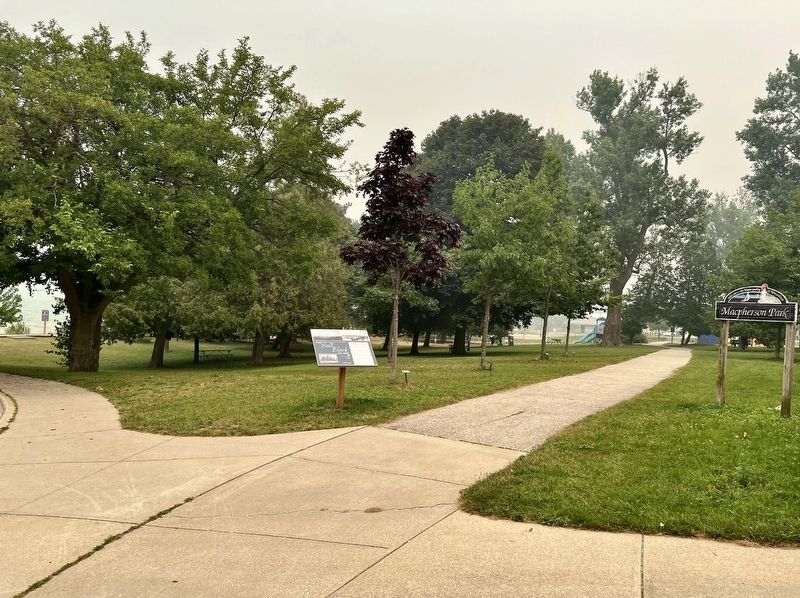
Location. 44° 10.694′ N, 81° 38.369′ W. Marker is in Kincardine, Ontario, in Bruce County. It is on Harbour Street 0.2 kilometers west of Huron Terrace, on the right when traveling west. Touch for map. Marker is at or near this postal address: 10 Harbour St, Kincardine ON N2Z 3A3, Canada. Touch for directions.

Regionally, this marker is in Georgian Bay Country and in Southwestern Ontario. It is also in Central Canada. Globally, it is in North America, on the Great Lakes, in the Western Hemisphere, in the Western World, and in the Anglosphere. Historically, it finds itself in what was once a British colony, the Viceroyalty of New France, the Haudenosaunee (Iroquois) Confederacy, and Rupert’s Land.
Other nearby markers. At least 7 other markers are within 18 kilometers of this marker, measured as the crow flies: Sergeant Charles William Mann (within shouting distance of this marker); Paddy’s Stone (about 150
Photographed by Tim Boyd, July 16, 2026
2. The Salt Block Marker
Credits. This page was last revised on August 3, 2026. It was originally submitted on August 3, 2026, by Tim Boyd of Hamilton, Ontario. This page has been viewed 6 times since then. Photos: 1, 2. submitted on August 3, 2026, by Tim Boyd of Hamilton, Ontario. • Andrew Ruppenstein was the editor who published this page.
