Near Dexter in Stoddard County, Missouri — The American Midwest (Upper Plains)
Frenchman's Spring
Photographed by Jason Voigt, July 29, 2026
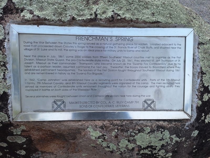
1. Frenchman's Spring Marker
During the War Between the States this spring served as a natural gathering place for soldiers. Located adjacent to the road that proceeded down Crowley's Ridge to the crossing of the St. Francis River at Chalk Bluffs, and situated near the village of St. Luke and its mill, the spring was an ideal place for military units to camp and recruit.
Near this place in July, 1861, some 2000 soldiers from fifteen Southeast Missouri counties met to organize as the First Division, Missouri State Guard, the pro-Confederate state militia. On July 25, 1861, they elected M. Jeff Thompson of St. Joseph, Missouri as their commander. Thompson, who became known as the "Swamp Fox Confederacy" due to his talent as a partisan leader, assumed command the next day. Thereafter, the troops moved to Bloomfield where they established permanent headquarters. The soldiers of the First Division fought throughout Southeast Missouri during 1861 and are remembered in history as the "Swamp Fox Brigade."
In 1862, "Camp Johnston" was established here as a recruiting point for Confederate units. Parts of the 5th Missouri Infantry, 7th Missouri Cavalry,
this page online
Several skirmishes were fought between Union and Confederate soldiers near here during the war.
Erected 1996 by Sons of Confederate Veterans (Col. A.C. Riley Camp 791).
Topics and series. This historical marker is listed in this topic list: War, US Civil. In addition, it is included in the Sons of Confederate Veterans/United Confederate Veterans series list. A significant historical month for this entry is July 1861.
Location. 36° 45.593′ N, 89° 58.416′ W. Marker is near Dexter, Missouri, in Stoddard County. It is on County Route 632 south of County Route 607, on the left when traveling west. Touch for map. Marker is at or near this postal address: 16884 Co Rd 632, Dexter MO 63841, United States of America. Touch for directions.

Regionally, this marker is in Southeast Missouri and specifically in the Missouri Bootheel. It is also in the American Mississippi Delta, in the Ozarks,
Photographed by Jason Voigt, July 29, 2026
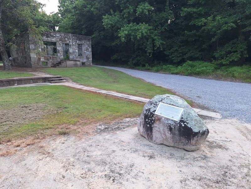
2. Frenchman's Spring Marker
Other nearby markers. At least 8 other markers are within 9 miles of this marker, measured as the crow flies: Kenady-Hanks Post 59 American Legion (approx. 2.9 miles away); Veterans Memorial (approx. 3 miles away); War Memorial (approx. 5.6 miles away); Navy Seabees (approx. 7½ miles away); Address by President Abraham Lincoln (approx. 7½ miles away); POW ★ MIA (approx. 7½ miles away); Stoddard County (approx. 8.4 miles away); General Davidson's Cavalry (approx. 8½ miles away). Touch for a list and map of all markers in Dexter.
Photographed by Jason Voigt, July 30, 2026
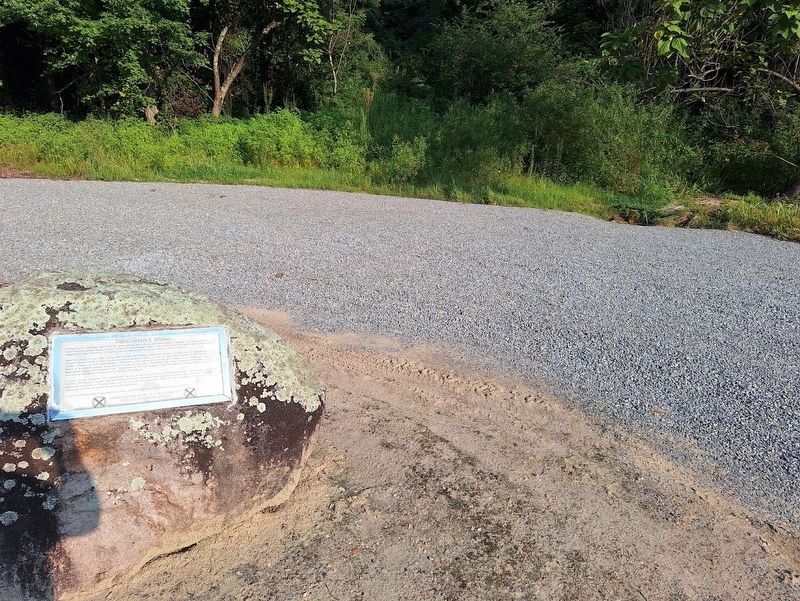
3. Frenchman's Spring Marker
Marker with the spring in the background
Credits. This page was last revised on August 3, 2026. It was originally submitted on August 3, 2026, by Jason Voigt of Glen Carbon, Illinois. This page has been viewed 16 times since then. Photos: 1, 2, 3. submitted on August 3, 2026, by Jason Voigt of Glen Carbon, Illinois.
