Dahlonega in Lumpkin County, Georgia — The American South (South Atlantic)
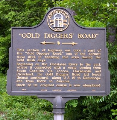
"Gold Diggers' Road"
<------->
Beginning on the Chestatee River to the east, where it connected with a route coming from South Carolina via Toccoa, Clarkesville and Cleveland, the Gold Diggers’ Road led here; thence southward, along U.S. 19 to Dahlonega and from there to Auraria.
Much of its original course is now abandoned.
Erected 1954. (Marker Number 093-7.)
Topics and series. This historical marker is listed in these topic lists: Industry & Commerce • Roads & Vehicles. In addition, it is included in the Georgia Historical Society series list.
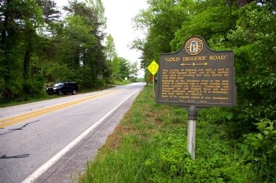
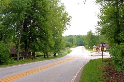
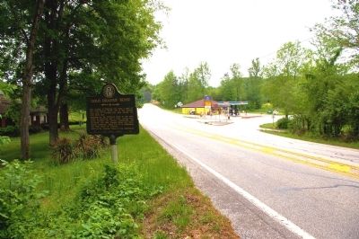
Location. 34° 34.281′ N, 83° 58.074′ W. Marker is in Dahlonega, Georgia, in Lumpkin County. Marker is at the intersection of Calhoun Road (U.S. 19) and Business U.S. 19, on the right when traveling north on Calhoun Road. Touch for map. Marker is in this post office area: Dahlonega GA 30533, United States of America. Touch for directions.
Other nearby markers. At least 8 other markers are within 3 miles of this marker, measured as the crow flies. Consolidated Gold Mines (approx. 2.4 miles away); Dahlonega Mustering Grounds (approx. 2.7 miles away); Dahlonega Stories (approx. 2.7 miles away); a different marker also named Dahlonega Stories (approx. 2.7 miles away); Restoration & Preservation by Cotrell, Inc. (approx. 2.8 miles away); Discovery to Restoration (approx. 2.8 miles away); Maibaum History Tree (approx. 2.8 miles away); Chestatee River Diving Bell (c.1875) (approx. 2.8 miles away). Touch for a list and map of all markers in Dahlonega.
Credits. This page was last revised on January 31, 2020. It was originally submitted on May 16, 2010, by David Seibert of Sandy Springs, Georgia. This page has been viewed 1,677 times since then and 71 times this year. Photos: 1, 2, 3, 4. submitted on May 16, 2010, by David Seibert of Sandy Springs, Georgia. • Craig Swain was the editor who published this page.


