Tiverton near Kincardine in Bruce County, Ontario — Central Canada (North America)
Douglas Point Nuclear Power Plant
⎯⎯⎯
Centrale Nucléaire de Douglas Point
Photographed by Tim Boyd, July 16, 2026
1. Douglas Point Nuclear Power Plant Marker

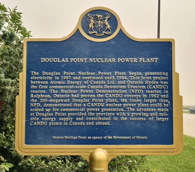
The Douglas Point Nuclear Power Plant began generating electricity in 1967 and continued until 1984. This joint project between Atomic Energy of Canada Ltd. and Ontario Hydro was the first commercial-scale Canada Deuterium Uranium (CANDU) reactor. The Nuclear Power Demonstration (NPD) reactor in Rolphton, Ontario had proven the CANDU concept in 1962 and the 200-megawatt Douglas Point plant, ten times larger than NPD, demonstrated that a CANDU nuclear power plant could be scaled up for commercial power generation. The advances made at Douglas Point provided the province with a growing and reliable energy supply and contributed to the success of larger CANDU plants in Canada and abroad.
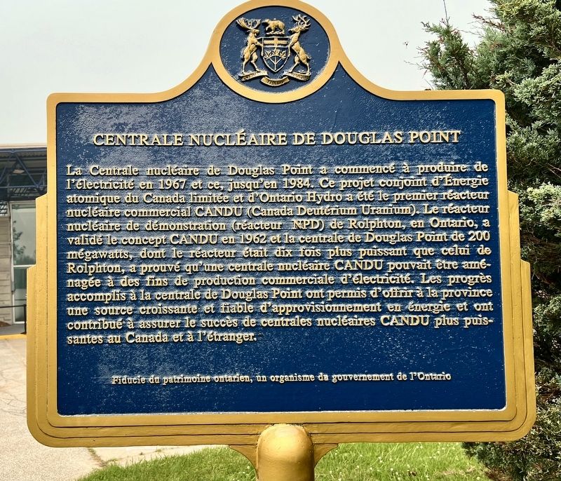
La Centrale nucléaire de Douglas Point a commencé à produire de l'électricité en 1967 et ce, jusqu'en 1984. Ce projet conjoint d'Energie atomique du Canada limitée et d'Ontario Hydro a été le premier réacteur nucléaire commercial CANDU (Canada Deutérium Uranium). Le réacteur nucléaire de démonstration (réacteur NPD) de Rolphton, en Ontario, a validé le
this page online
Erected 2006 by Ontario Heritage Trust.
Topics and series. This historical marker is listed in this topic list: Science & Medicine. In addition, it is included in the Canada, Ontario Heritage Trust series list. A significant historical year for this entry is 1967.
Location. 44° 18.844′ N, 81° 32.967′ W. Marker is near Kincardine, Ontario, in Bruce County. It is in Tiverton. It can be reached from Bruce County Road 20. The marker is at the Bruce Nuclear Visitor Centre, in the parking lot approx. 300 metres from the entrance on County Road 20, which is 500 metres west of Highway 21. Touch for map. Marker is at or near this
Photographed by Tim Boyd, July 16, 2026
2. Douglas Point Nuclear Power Plant / Centrale Nucléaire de Douglas Point Marker

Regionally, this marker is in Georgian Bay Country and in Southwestern Ontario. It is also in Central Canada. Globally, it is in North America, on the Great Lakes, in the Western Hemisphere, in the Western World, and in the Anglosphere. Historically, it finds itself in what was once a British colony, the Viceroyalty of New France, the Haudenosaunee (Iroquois) Confederacy, and Rupert’s Land.
Other nearby markers. At least 6 other markers are within 18 kilometers of this marker, measured as the crow flies: The Salt Block (approx. 16.7 kilometers away); Sergeant Charles William Mann (approx. 16.8 kilometers away); Paddy’s Stone (approx. 16.8 kilometers away); Lighthouses of the Bruce Coast (approx. 16.8 kilometers away); The Phantom Piper (approx. 16.8 kilometers away); The Kincardine Lighthouse (approx. 16.8 kilometers away).

Photographed by Tim Boyd, July 16, 2026
3. Douglas Point Nuclear Power Plant / Centrale Nucléaire de Douglas Point Marker
Credits. This page was last revised on August 4, 2026. It was originally submitted on August 4, 2026, by Tim Boyd of Hamilton, Ontario. This page has been viewed 12 times since then. Photos: 1, 2, 3. submitted on August 4, 2026, by Tim Boyd of Hamilton, Ontario. • Andrew Ruppenstein was the editor who published this page.
