Paisley in Arran-Elderslie in Bruce County, Ontario — Central Canada (North America)
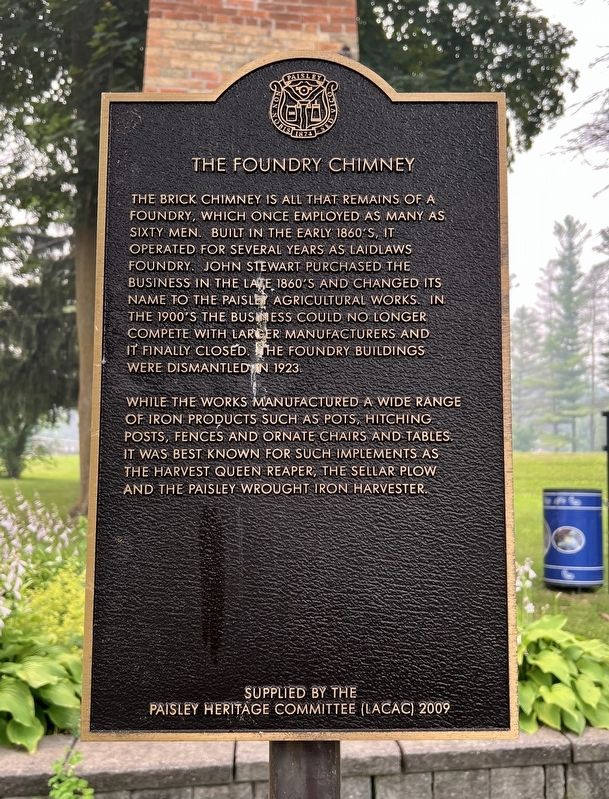
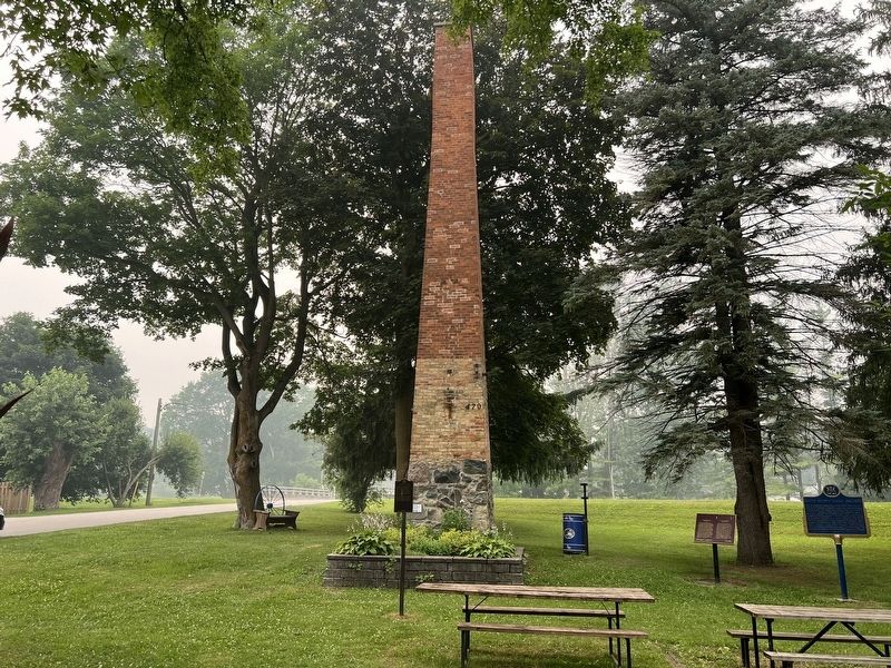
The Foundry Chimney
Photographed by Tim Boyd, July 16, 2026
1. The Foundry Chimney Marker
While the works manufactured a wide range of iron products such as pots, hitching posts, fences and ornate chairs and tables, it was best known for such implements as the harvest queen reaper, the sellar plow and the paisley wrought iron harvester.
Erected 2009 by Paisley Heritage Committee.
Topics. This historical marker is listed in these topic lists: Industry & Commerce • Man-Made Features. A significant historical year for this entry is 1923.
Location. 44° 18.606′ N, 81° 16.466′ W. Marker is in Arran-Elderslie, Ontario, in Bruce County. It is in Paisley. It is at the intersection of Queen Street North (County Road 3) and Cambridge Street, on the right when traveling south on Queen
this page online

Regionally, this marker is in Georgian Bay Country and in Southwestern Ontario. It is also in Central Canada. Globally, it is in North America, on the Great Lakes, in the Western Hemisphere, in the Western World, and in the Anglosphere. Historically, it finds itself in what was once a British colony, the Viceroyalty of New France, the Haudenosaunee (Iroquois) Confederacy, and Rupert’s Land.
Other nearby markers. At least 8 other markers are within walking distance of this marker: David Browne Milne (here, next to this marker); David Brown Milne 1882-1953 (here, next to this marker); The Elliot Block (approx. 0.3 kilometers away); Samuel Thomas Rowe (approx. 0.3 kilometers away); Simon Orchard - First Settler of Paisley (approx. 0.3 kilometers away); Historic Frame Building (approx. 0.3 kilometers away); Fisher Mill Property (approx. 0.4 kilometers away); The Founding of Paisley (approx. 0.4 kilometers away). Touch for a list and map of all markers in Arran-Elderslie.
Photographed by Tim Boyd, July 16, 2026
2. The Foundry Chimney Marker
In front of the chimney
Credits. This page was last revised on August 4, 2026. It was originally submitted on August 4, 2026, by Tim Boyd of Hamilton, Ontario. This page has been viewed 13 times since then. Photos: 1, 2. submitted on August 4, 2026, by Tim Boyd of Hamilton, Ontario. • Andrew Ruppenstein was the editor who published this page.
