Keswick in Albemarle County, Virginia — The American South (Mid-Atlantic)
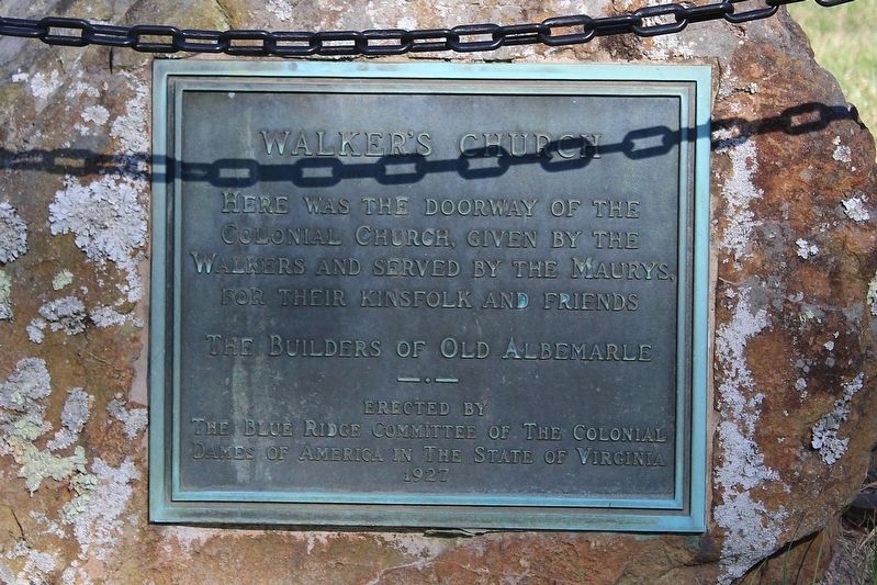
Walker's Church
Photographed by Evan Dwyer, March 28, 2026
1. Walker's Church Marker
The Builders of Old Albemarle
Erected by The Blue Ridge Committee of the Colonial Dames of America in the State of Virginia 1927
Erected 1927 by The Blue Ridge Committee of the Colonial Dames of America.
Topics. This historical marker is listed in these topic lists: Colonial Era • Religion & Religious Structures. A significant historical year for this entry is 1745.
Location. 38° 3.669′ N, 78° 18.519′ W. Marker is in Keswick, Virginia, in Albemarle County. It is on Gordonsville Road (Virginia Route 231) 0.1 miles south of Millwood Lane (County Route 783), on the left when traveling south. Touch for map. Marker is at or near this postal address: 5607 Gordonsville Road, Keswick VA 22947, United States of America. Touch for directions.

Regionally, this marker is in the Piedmont and in Central Virginia. It is also in the American South and specifically in the Upper South. Globally, it is in North America, the Western Hemisphere, the Western World, and the Anglosphere. Historically,
this page online
Other nearby markers. At least 8 other markers are within 5 miles of this marker, measured as the crow flies: Grace Episcopal Church (within shouting distance of this marker); Castle Hill (approx. 1.4 miles away); St. John School — Rosenwald Funded (approx. 2.2 miles away); Albemarle County / Louisa County (approx. 2.9 miles away); Southwest Mountains Rural Historic District (approx. 3.8 miles away); Marjorie S. Twohey (approx. 3.8 miles away); Maury’s School (approx. 4.2 miles away); a different marker also named Southwest Mountains Rural Historic District (approx. 4.3 miles away). Touch for a list and map of all markers in Keswick.
Another marker is no longer nearby. Revolutionary War Campaign of 1781 (was approx. 2.4 miles away but has been confirmed missing).
Photographed by Evan Dwyer, March 28, 2026
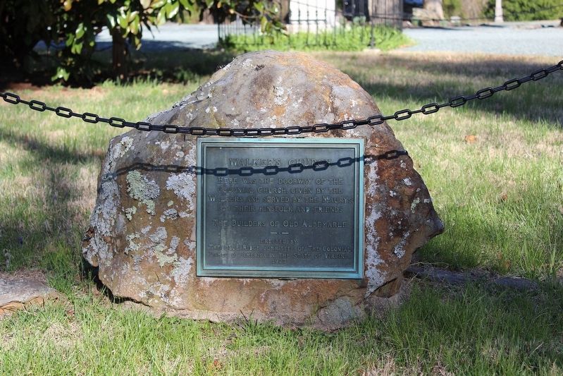
2. Walker's Church Marker
Photographed by Evan Dwyer, March 28, 2026
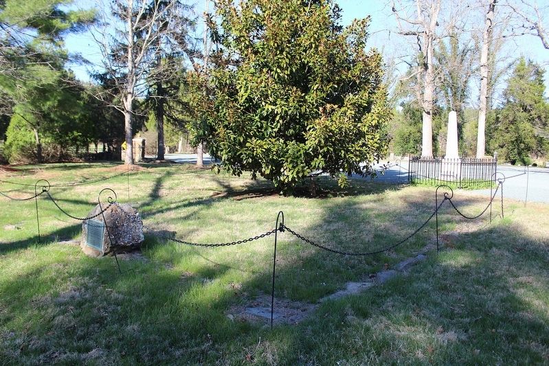
3. Walker's Church Marker
The foundation of the church is marked with stones branching out from the marker and the rock it is mounted on. Rev. James Maury, of Parson's Cause infamy, is buried under the obelisk at right.
Photographed by Evan Dwyer, March 28, 2026
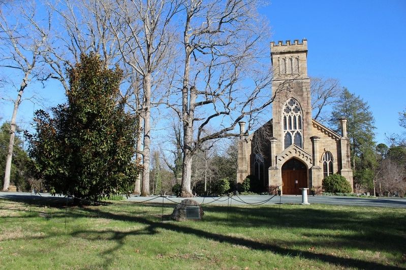
4. Walker's Church Marker
Also shown is the outline of Walker's Church and the 1855 Grace Episcopal Church at right.
Credits. This page was last revised on August 4, 2026. It was originally submitted on August 4, 2026, by Evan Dwyer of Richmond, Virginia. This page has been viewed 7 times since then. Photos: 1, 2, 3, 4. submitted on August 4, 2026, by Evan Dwyer of Richmond, Virginia.
