Glasgow in Valley County, Montana — The American West (Mountains)
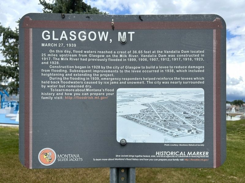
Glasgow, MT
March 27, 1939
June 21, 2026
1. Glasgow, MT Marker
Construction began in 1928 by the city of Glasgow to build a levee to reduce damages from flooding. Subsequent improvements to the levee occurred in 1938, which included heightening and extending the project.
During the flooding in 1939, emergency responders helped reinforce the levees which held back floodwaters caused by ice jams and snowmelt. The city was nearly surrounded by water but remained dry.
To learn more about Montana's flood history and how you can prepare your family visit: http://floodrisk.mt.gov/
Photo courtesy: Montana Historical Society
Historical Marker
Silver Jackets brings together federal, state, and local agencies to collaborate in reducing flood risk
To learn more about Montana's flood history and how you can prepare your family visit: http://floodrisk.mt.gov/
Erected by Montana Silver Jackets.
Topics. This historical
this page online
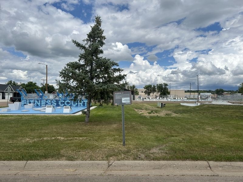
Location. 48° 11.42′ N, 106° 38.135′ W. Marker is in Glasgow, Montana, in Valley County. It is on 5th Avenue South east of 3rd Street South, on the left when traveling east. Touch for map. Marker is in this post office area: Glasgow MT 59230, United States of America. Touch for directions.

Regionally, this marker is in Montana’s Missouri River Country. It is also in the American Mountain West, in the Lewis & Clark Corridor, on the prairies, on the Great Plains, and specifically on the Northern Plains. Globally, it is in North America, the Western Hemisphere, the Western World, and the Anglosphere. Historically, it finds itself in what was once Rupert’s Land and also the Louisiana Purchase.
Other nearby markers. At least 8 other markers are within 15 miles of this marker, measured as the crow flies: First National Bank of Glasgow (approx. 0.3 miles away); Boulder Carvings (approx. one mile away); V. F. W. Post 3107 Memorial (approx. 1.2 miles away); Buffalo Country (approx. 7 miles away); The Old Milk River Bridge and Tampico
June 21, 2026
2. Glasgow, MT Marker
Credits. This page was last revised on August 6, 2026. It was originally submitted on August 5, 2026. This page has been viewed 20 times since then. Photos: 1, 2. submitted on August 5, 2026.
