Sylvan Beach in Oneida County, New York — The American Northeast (Mid-Atlantic)
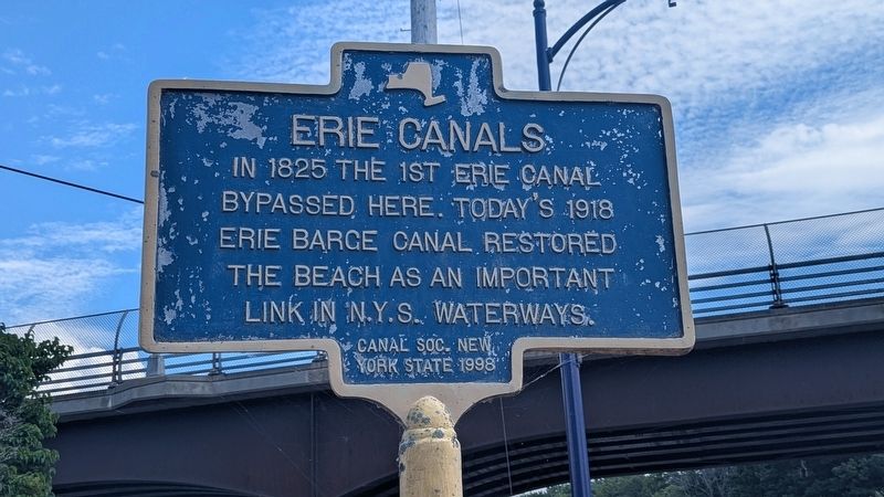
Erie Canals
Photographed by Mira Earls, August 6, 2026
1. Erie Canals Marker
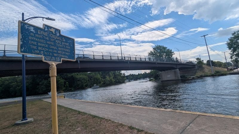
In 1825 the 1st Erie Canal bypassed here. Today's 1918 Erie Barge Canal restored the beach as an important link in N.Y.S. waterways.
( back )
Erected 1998 by Canal Soc. New York State.
Topics. This historical marker is listed in these topic lists: Industry & Commerce • Waterways & Vessels. A significant historical year for this entry is 1825.
Location. 43° 11.725′ N, 75° 43.732′ W. Marker is in Sylvan Beach, New York, in Oneida County. It is at the intersection of Canal Street and Bridge Street, on the right when traveling north on Canal Street. Touch for map. Marker is in this post office area: Sylvan Beach NY 13157, United States of America. Touch for directions.

Regionally, this marker is in Upstate New York and in the Mohawk Valley. It is also in the American Northeast and in the Mid-Atlantic. Globally, it is in North America, the Great North Woods, the Western Hemisphere, the Western World, and the Anglosphere. Historically, it finds itself in what
this page online
Other nearby markers. At least 8 other markers are within 7 miles of this marker, measured as the crow flies: Royal Blockhouse (about 800 feet away, measured in a direct line); Sylvan Beach Union Chapel (approx. ¼ mile away); Partnership for Preservation (approx. 0.4 miles away); Grave of Capt. Adj. George Marsden (approx. 3.3 miles away); The Erie Canal - The Long Level (approx. 4 miles away); A Segment of the Old Erie Canal (approx. 5½ miles away); Congregational Church - 1814 (approx. 5.7 miles away); Mucklands (approx. 6.7 miles away).
Also see . . . Erie Canal (Wikipedia). (Submitted on August 10, 2026, by Michael Herrick of Southbury, Connecticut.)
Photographed by Mira Earls, August 6, 2026
2. Erie Canals Marker
Photographed by Mira Earls, August 6, 2026
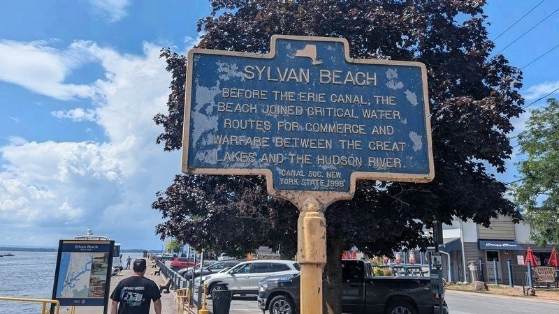
3. Sylvan Beach Marker
Photographed by Mira Earls, August 6, 2026
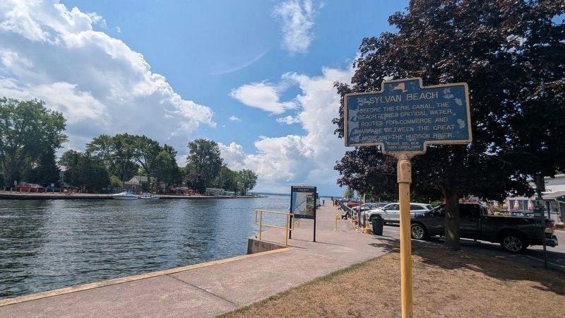
4. Sylvan Beach Marker
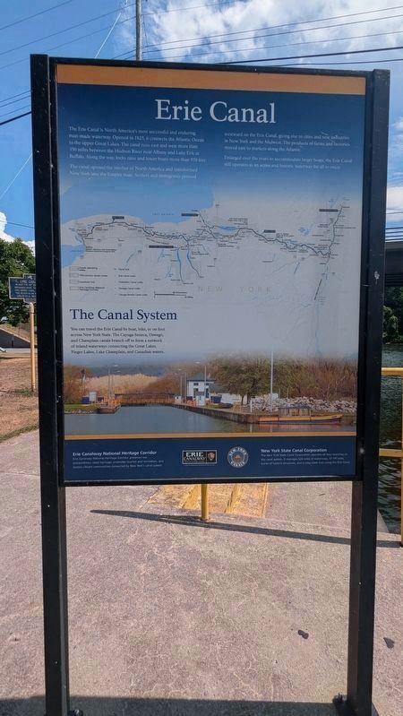
Photographed by Mira Earls, August 6, 2026
5. Erie Canal Informational Marker
Credits. This page was last revised on August 10, 2026. It was originally submitted on August 6, 2026, by Mira Earls of Cortland, New York. This page has been viewed 40 times since then. Photos: 1, 2. submitted on August 6, 2026, by Mira Earls of Cortland, New York. 3, 4. submitted on August 10, 2026, by Mira Earls of Cortland, New York. 5. submitted on August 6, 2026, by Mira Earls of Cortland, New York. • Michael Herrick was the editor who published this page.
