Bayeux in Calvados, Normandy, France — Western Europe
Le rempart antique et médiéval
⎯⎯⎯
Ancient and Medieval Ramparts
| — | Bayeux, la qualité a ses racines | — |
Photographed by James Hulse, August 1, 2026
1. Le rempart antique et médiéval / Ancient and Medieval Ramparts Marker

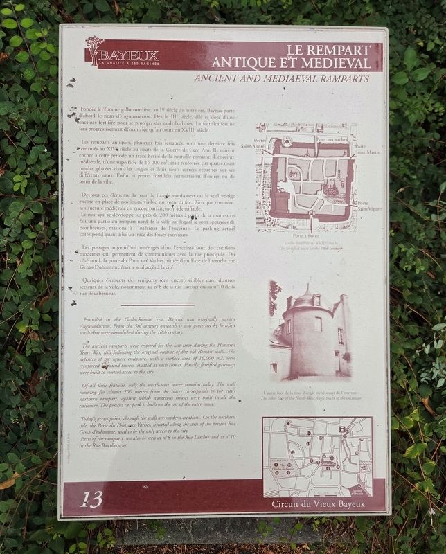
Fondée à l'époque gallo-romaine, au Iᵉʳ siècle de notre ère, Bayeux porte d'abord le nom d'Augustodurum. Dès le IIIᵉʳ siècle, elle se dote d'une enceinte fortifiée pour se protéger des raids barbares. La fortification ne sera progressivement démantelée qu'au cours du XVIIIᵉ siècle.
Les remparts antiques, plusieurs fois restaurés, sont une dernière fois remaniés au XIVᵉ siècle au cours de la Guerre de Cent Ans. Ils suivent encore à cette période un tracé hérité de la muraille romaine. L'enceinte médiévale, d'une superficie de 16 000 m², était renforcée par quatre tours rondes placées dans les angles et huit tours carrées réparties sur ses différents murs. Enfin, 4 portes fortifiées permettaient d'entrer ou de sortir de la ville.
De tous ces éléments, la tour de l'angle nord-ouest est le seul vestige encore en place de nos jours, visible sur votre droite. Bien que remaniée, la structure médiévale est encore parfaitement identifiable.
Le mur qui se développe sur près de 200 mètres à partir de la tour est en fait une partie du rempart nord de la ville sur lequel se sont appuyées
this page online
Les passages aujourd'hui aménagés dans l'enceinte sont des créations modernes qui permettent de communiquer avec la rue principale. Du côté nord, la porte du Pont aux Vaches, située dans l'axe de l'actuelle rue Genas-Duhomme, était le seul accès à la cité.
Quelques éléments des remparts sont encore visibles dans d'autres secteurs de la ville, notamment au n°8 de la rue Larcher ou au n°10 de la rue Bourbesneur.
La ville fortifiée au XVIIIᵉ siècle
L'autre face de la tour d'angle nord-ouest de l'enceinte
The ancient ramparts were restored for the last time during the Hundred Years War, still following the original outline of the old Roman walls. The defences of the square enclosure, with a surface area of 16,000 m2, were reinforced bround towers situated at each corner. Finally, fortified gateways were built
Photographed by James Hulse, August 1, 2026
2. Le rempart antique et médiéval / Ancient and Medieval Ramparts Marker
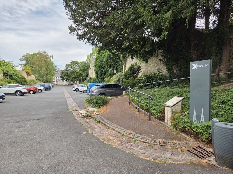
The marker is located along a parking lot. This view is looking towards the east.
Of all these features, only the north-west tower remains today. The wall running for almost 200 metres from the tower corresponds to the city's northern rampart, against which numerous houses were built inside the enclosure. The present car park is built on the site of the outer moat.
Today's access points through the wall are modern creations. On the northern side, the Porte du Pont aux Vaches, situated along the axis of the present Rue Genas-Duhomme, used to be the only access to the city.
Parts of the ramparts can also be seen at n° 8 in the Rue Larcher and at n° 10 in the Rue Bourbesneur.
The fortified town in the 18th century
The other face of the North-West Angle tower of the enclosure
Erected by La ville de Bayeux. (Marker Number 13.)
Topics and series. This historical marker is listed in these topic lists: Forts and Castles • Wars, Non-US. In addition, it is included in the France - Bayeux - Circuit du Vieux Bayeux series list.
Location. 49° 16.724′ N, 0° 42.351′ W. Marker is in Bayeux, Normandie (Normandy), in Calvados.
Photographed by James Hulse, August 1, 2026
3. Le rempart antique et médiéval / Ancient and Medieval Ramparts Marker
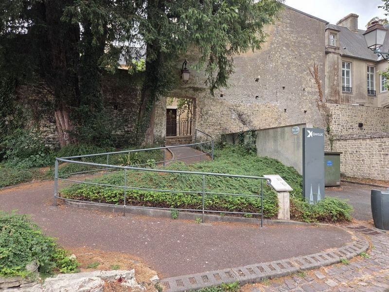
This view is looking towards the south along a trail to Rue Saint-Malo street.

Regionally, it is in the North Atlantic Region, Europe, the European Union, Atlantic Europe, the Schengen Area, Western Europe, a coastal Mediterranean country, and the Western World. Historically, it finds itself in what was once a French colony and also the Roman Empire.
Other nearby markers. At least 8 other markers are within walking distance of this marker: Birthplace of Alain, Jean and Guillaume Chartier (about 120 meters away, measured in a direct line); Le Grand Hôtel d’Argouges / Grand Hôtel d’Argouges (about 180 meters away); La Rue Général de Dais / Rue Général de Dais (about 210 meters away); La Rue Franche / Rue Franche (about 210 meters away); La Rue des Cuisiniers / Rue des Cuisiniers (approx. 0.3 kilometers away); Discours du général de Gaulle à Bayeux / General de Gaulle’s Speech in Bayeux (approx. 0.3 kilometers away); Du Château à la Place Publique / From a Castle to a Public Square (approx. 0.3 kilometers away); La Dentelle / Lace in Bayeux (approx. 0.3 kilometers away). Touch for a list and map of all markers in Bayeux.
Credits. This page was last revised on August 7, 2026. It was originally submitted on August 6, 2026, by James Hulse of Medina, Texas. This page has been viewed 15 times since then. Photos: 1, 2, 3. submitted on August 7, 2026, by James Hulse of Medina, Texas.
