LaFayette in Walker County, Georgia — The American South (South Atlantic)
Ship's Gap
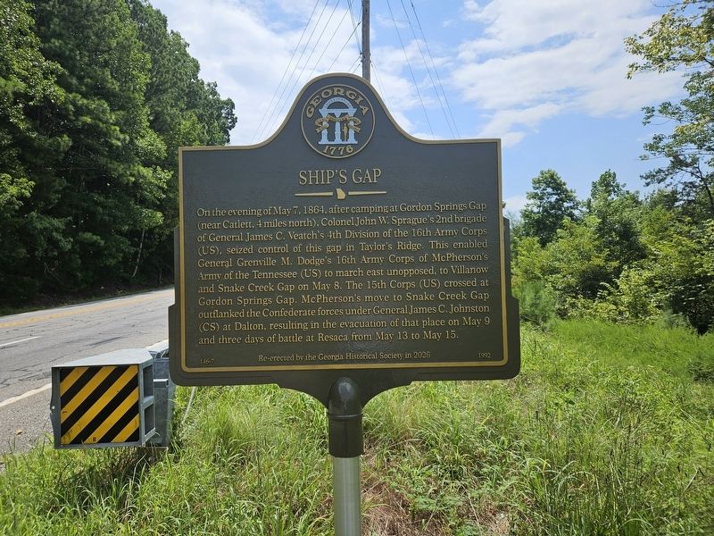
Photographed by Edward Troxel, August 6, 2026
1. Ship's Gap Marker
On the evening of May 7, 1864, after camping at Gordon Springs Gap (near Catlett, 4 miles north), Colonel John W. Sprague's 2nd brigade of General James C. Veatch's 4th Division of the 16th Army Corps (US), seized control of this gap in Taylor's Ridge. This enabled General Grenville M. Dodge's 16th Army Corps of McPherson's Army of the Tennessee (US) to march east unopposed, to Villanow and Snake Creek Gap on May 8. The 15th Corps (US) crossed at Gordon Springs Gap. McPherson's move to Snake Creek Gap outflanked the Confederate forces under General James C. Johnston. (CS) at Dalton, resulting in the evacuation of that place on May 9 and three days of battle at Resaca from May 13 to May 15.
Erected 1992 by Georgia Historical Society. (Marker Number 146-7.)
Topics. This historical marker is listed in this topic list: War, US Civil. A significant historical date for this entry is May 7, 1864.
Location. 34° 41.983′ N, 85° 11.239′ W. Marker is in LaFayette, Georgia, in Walker County. It is on Route 136 0.9 miles east of South Old Alabama Highway (Georgia Route 151), on the right when traveling east. Touch for map. Marker is
this page online

Regionally, this marker is in Georgia’s Mountains. It is also in the American South, specifically in the Deep South, in Appalachia, and specifically in Southern Appalachia. Globally, it is in North America, the Western Hemisphere, the Western World, and the Anglosphere. Historically, it finds itself in what was once the original Cherokee Nation, the territory of the Mississippian Culture, one of the original Thirteen Colonies, one of the Confederate States of America, and the Antebellum South.
Other nearby markers. At least 8 other markers are within 6 miles of this marker, measured as the crow flies: West Armuchee Valley (approx. 1.4 miles away); Chestnut Flat (approx. 3.2 miles away); William Little House (approx. 4.1 miles away); a different marker also named William Little House (approx. 4.1 miles away); McPherson’s Army at Snake Creek Gap (approx. 4.2 miles away); Villanow (approx. 4½ miles away); Geary's Division to Dug Gap (approx. 4.9 miles away); Confederate Square (approx. 5.2 miles away). Touch for a list and map
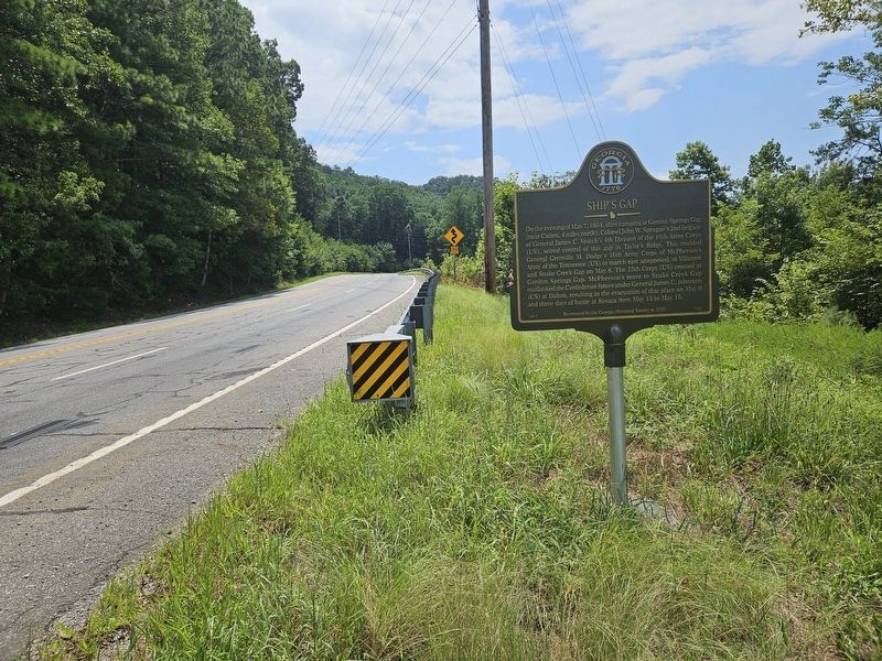
Photographed by Edward Troxel, August 6, 2026
2. Ship's Gap Marker
Another marker is no longer nearby. Ship's Gap (was about 800 feet away, measured in a direct line but has been replaced with another marker now near it).
Related marker. Click here for another marker that is related to this marker. Old Marker Near This Location also titled "Ship's Gap".
Credits. This page was last revised on August 14, 2026. It was originally submitted on August 6, 2026, by Edward Troxel of Creal Springs, Illinois. This page has been viewed 22 times since then. Photos: 1, 2. submitted on August 6, 2026, by Edward Troxel of Creal Springs, Illinois. • Bernard Fisher was the editor who published this page.
