Stony Creek in Sussex County, Virginia — The American South (Mid-Atlantic)
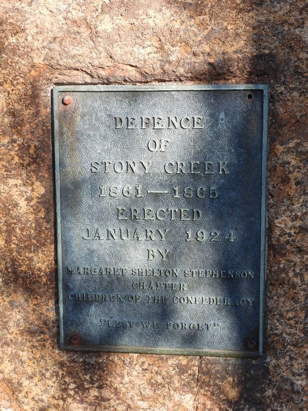
Defence of Stony Creek
Photographed by Donald B. Caselli (Barry), October 19, 2024
1. Defence of Stony Creek Marker
1861—1865
Erected January 1924
by
Margaret Shelton Stephenson Chapter
Children of the Confederacy "Lest we forget"
Erected 1924 by Margaret Shelton Stephenson Chapter, Children of the Confederacy.
Topics. This memorial is listed in this topic list: War, US Civil.
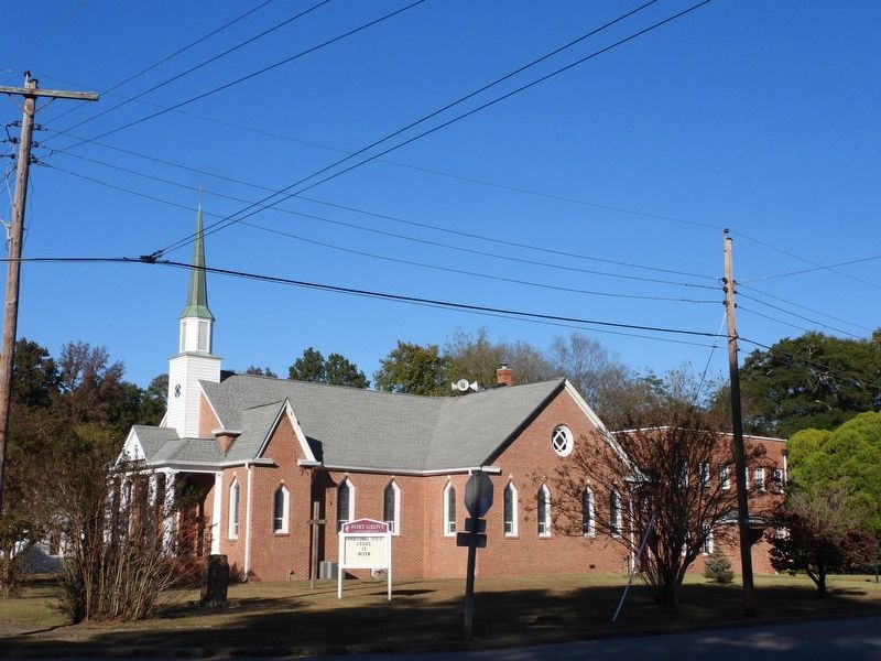
Location. 36° 56.811′ N, 77° 23.952′ W. Memorial is in Stony Creek, Virginia, in Sussex County. It is at the intersection of Church Street and Maplewood Avenue, on the right when traveling north on Church Street. The plaque is mounted on a rock in the southwest corner of the Fort Grove United Methodist Church grounds. Touch for map. Memorial is at or near this postal address: 12471 Church St, Stony Creek VA 23882, United States of America. Touch for directions.

Regionally, this memorial is in Coastal Virginia. It is also in the American South, specifically in the Upper South, and in the Tidewater. Globally, it is in North America, the Western Hemisphere, the Western World, and the Anglosphere. Historically, it finds itself in what was once the territory of the Mississippian
this page online
Other nearby markers. At least 8 other markers are within 5 miles of this marker, measured as the crow flies: Confederate Cannon (about 700 feet away, measured in a direct line); History At Stony Creek (approx. 0.3 miles away); Sappony Church (approx. 3 miles away); Sappony Baptist Church (approx. 3 miles away); Nottoway River Crossings (approx. 3.4 miles away); Prince George County / Sussex County (approx. 3.4 miles away); Hunting Quarter Baptist Church (approx. 4.3 miles away); Sussex County / Dinwiddie County (approx. 5.1 miles away). Touch for a list and map of all markers in Stony Creek.
Photographed by Donald B. Caselli (Barry), October 19, 2024
2. Defence of Stony Creek Marker- photo showing marker and rock in shadows at lower left.
Credits. This page was last revised on August 8, 2026. It was originally submitted on August 7, 2026, by Donald B. Caselli (Barry) of Hopewell, Virginia. This page has been viewed 21 times since then. Photos: 1, 2. submitted on August 7, 2026, by Donald B. Caselli (Barry) of Hopewell, Virginia. • Bernard Fisher was the editor who published this page.
