Baton Rouge in East Baton Rouge Parish, Louisiana — The American South (West South Central)
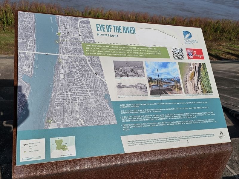
Eye of the River
Riverfront
Photographed by Cajun Scrambler, July 18, 2026
1. Eye of the River Marker
French explorer Pierre Le Moyne D'Iberville founded Baton Rouge during an expedition in 1698 after discovering a large red pole on a bluff overlooking the Mississippi River. Named "Le Baton Rouge" by the French, the red pole marked the boundary between the indigenous Houma and Bayougoula tribes.
• Baton Rouge developed along the Mississippi River because of the waterway's potential to become a major commercial corridor.
• The average water flow of the Mississippi River is 470,000 cubic feet per second. This flow increases after extended periods of heavy rain in the region.
• In 2011, an extensive rain event in the Ohio River basin sent near record amounts of water down the Mississippi River. The river stage, or height, at Baton Rouge during the mississippi river flood of 2011 reached 45 feet, just a few feet short of the highest stage ever recorded - 47.26 feet during the Flood of 1927.
• The Lower Mississippi River is bounded by high bluffs as far south as Baton Rouge. Man-made levees along the river's lower course are also lined with oxbow lakes and swamps, with marshes prevalent closer to the Gulf of Mexico.
Erected by Downtown
this page online
Topics. This historical marker is listed in these topic lists: Exploration • Settlements & Settlers • Waterways & Vessels. A significant historical year for this entry is 1698.
Location. 30° 26.943′ N, 91° 11.443′ W. Marker is in Baton Rouge, Louisiana, in East Baton Rouge Parish. It is on River Road. Touch for map. Marker is at or near this postal address: 301 River Rd, Baton Rouge LA 70801, United States of America. Touch for directions.

Regionally, this marker is in the Florida Parishes. It is also in the American South, specifically in the Deep South, and in the Great River Road Region. Globally, it is in North America, a Gulf of Mexico state, the Western Hemisphere, the Western World, and the Anglosphere. Historically, it finds itself in what was once New Spain, the territory of the Mississippian Culture, the Louisiana Purchase, one of the Confederate States of America, and the Antebellum South.
Other nearby markers. At least 8 other markers are within walking distance of this marker: Lafayette Buildings (about 500 feet away, measured
Photographed by Cajun Scrambler, July 18, 2026
2. Eye of the River Marker
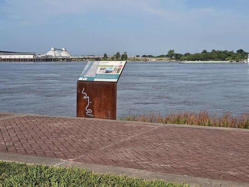
More about this marker. Marker is located on the Mississippi River levee in Baton Rouge.
Credits. This page was last revised on August 7, 2026. It was originally submitted on August 7, 2026, by Cajun Scrambler of Assumption, Louisiana. This page has been viewed 18 times since then. Photos: 1, 2. submitted on August 7, 2026, by Cajun Scrambler of Assumption, Louisiana.
