
Forestville/Mystery Cave State Park near Preston in Fillmore County, Minnesota — The American Midwest (Upper Plains)
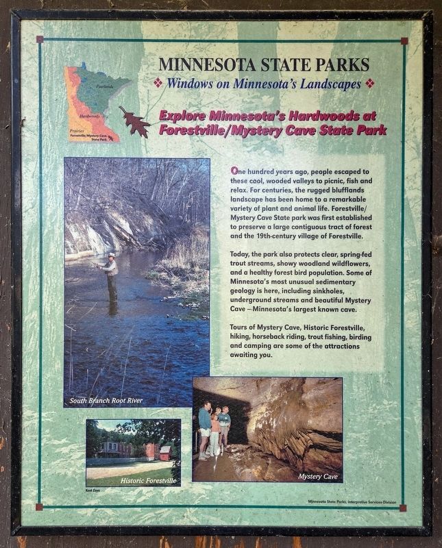
Explore Minnesota's Hardwoods at Forestville/Mystery Cave State Park
Minnesota State Parks
| — | Windows on Minnesota's Landscapes | — |
Photographed by McGhiever, October 4, 2025
1. Explore Minnesota's Hardwoods at Forestville/Mystery Cave State Park Marker
One hundred years ago, people escaped to these cool, wooded valleys to picnic, fish and relax. For centuries, the rugged blufflands landscape has been home to a remarkable variety of plant and animal life. Forestville/Mystery Cave State park was first established to preserve a large contiguous tract of forest and the 19th-century village of Forestville.
Today, the park also protects clear, spring-fed trout streams, showy woodland wildflowers, and a healthy forest bird population. Some of Minnesota's most unusual sedimentary geology is here, including sinkholes, underground streams and beautiful Mystery Cave—Minnesota's largest known cave.
Tours of Mystery Cave, Historic Forestville, hiking, horseback riding, trout fishing, birding and camping are some of the attractions awaiting you.
South Branch Root River
Historic Forestville
Mystery Cave
Erected by Minnesota State Parks, Interpretive Services Division.
Topics. This historical marker is listed in this topic list: Parks & Recreational Areas.
Location. 43° 38.426′ N, 92° 13.106′ W. Marker is near
this page online

Regionally, this marker is in Southeast Minnesota and in Greater Rochester. It is also in the American Midwest, in the Corn Belt, and in the Driftless Area — Bluff Country. Globally, it is in North America, the Western Hemisphere, the Western World, and the Anglosphere. Historically, it finds itself in what was once Rupert’s Land, the territory of the Mississippian Culture, and the Louisiana Purchase.
Other nearby markers. At least 8 other markers are within walking distance of this marker: Forestville Gristmill (about 300 feet away, measured in a direct line); Forestville Sawmill (approx. 0.2 miles away); Forestville (approx. 0.2 miles away); Meighen Icehouse (approx. 0.2 miles away); Bridges (approx. 0.2 miles away); Historic Forestville (approx. 0.2 miles away); Bridges at Forestville
Photographed by McGhiever, October 4, 2025
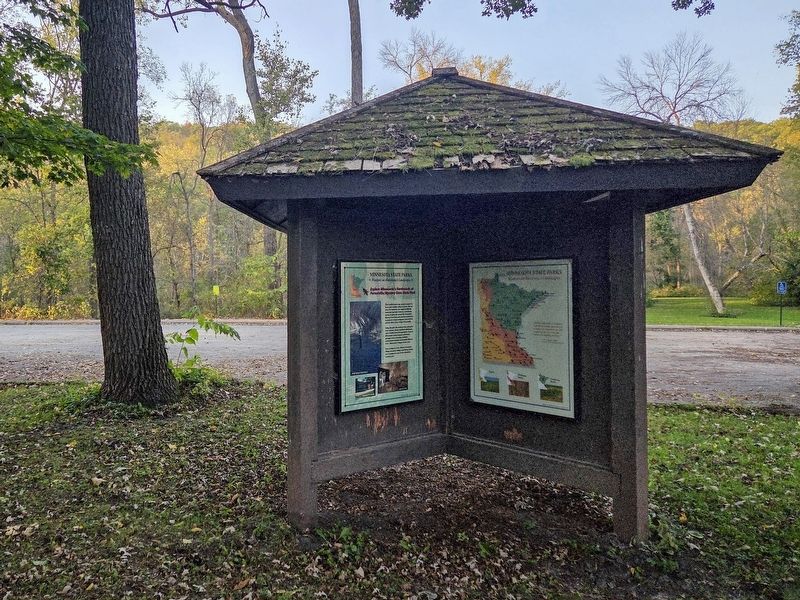
2. Explore Minnesota's Hardwoods Marker at the picnic shelter parking lot
Credits. This page was last revised on August 7, 2026. It was originally submitted on August 7, 2026, by McGhiever of Minneapolis, Minnesota. This page has been viewed 8 times since then. Photos: 1, 2. submitted on August 7, 2026, by McGhiever of Minneapolis, Minnesota.
