Consecon in Prince Edward County, Ontario — Central Canada (North America)
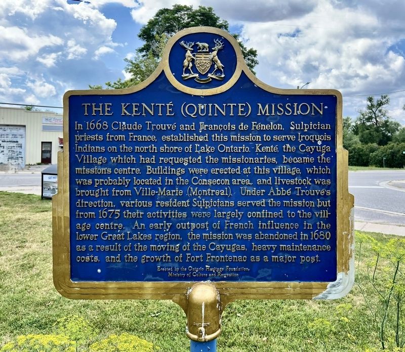
The Kenté (Quinte) Mission
Photographed by Tim Boyd, July 30, 2026
1. The Kenté (Quinte) Mission Marker
Erected 1969 by Ontario Heritage Foundation.
Topics and series. This historical marker is listed in these topic lists: Exploration • Indigenous Peoples and Communities • Religion & Religious Structures. In addition, it is included in the Canada, Ontario Heritage Trust series list. A significant historical year for this entry is 1668.
Location. 43° 59.617′ N, 77° 31.305′ W.
this page online

Regionally, this marker is in Southeastern Ontario. It is also in Central Canada. Globally, it is in North America, on the Great Lakes, in the Western Hemisphere, in the Western World, and in the Anglosphere. Historically, it finds itself in what was once a British colony, the Viceroyalty of New France, the Haudenosaunee (Iroquois) Confederacy, and Rupert’s Land.
Other nearby markers. At least 8 other markers are within 13 kilometers of this marker, measured as the crow flies: Union School Section 17 & 19 Bell (approx. 0.3 kilometers away); Anglican Church (approx. 0.3 kilometers away); Bay of Quinte Carrying Place / Le Portage de la Baie de Quinte (approx. 7.8 kilometers away); The Important Connection / Un lien important (approx. 9.2 kilometers away); Murray Canal / Le canal Murray (approx. 9.2 kilometers away);
Photographed by Tim Boyd, July 30, 2026
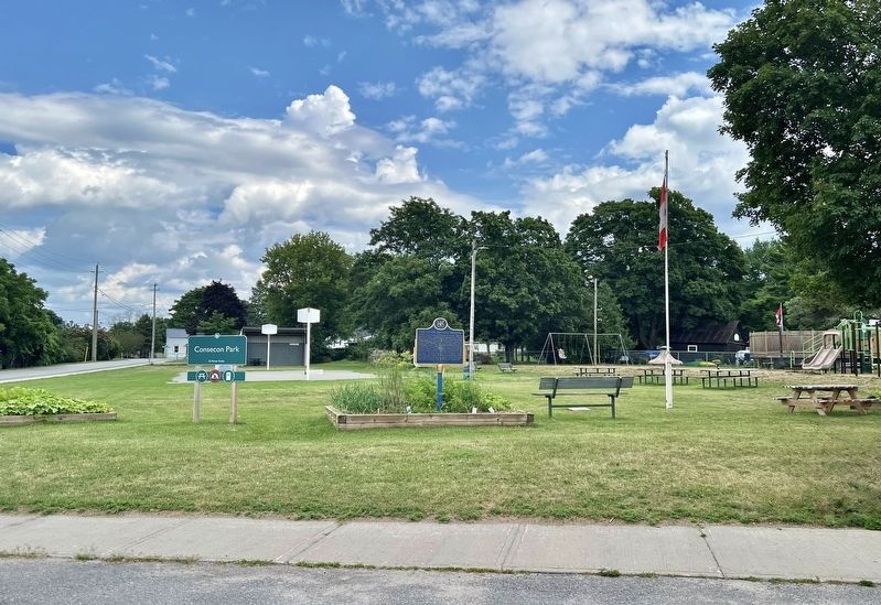
2. The Kenté (Quinte) Mission Marker
Also see . . . Settlers to Prince Edward County - Kenté Mission.
Two priests travelled to Prince Edward County in order to set up a Sulpician mission among the Iroquois at the Cayuga village of Kente in 1668. The exact whereabouts of Kente are unknown, though archaeological evidence suggests it was just off the shore of Consecon Lake. Abbé Trouvé and Abbé Fénelon were sent by Bishop Laval from their home in Montreal to establish the Kente mission. The Cayuga wanted protection from the French. The Cayuga were part of the Iroquois Five Nations who were enemies of the French. But the Cayuga had never warred with the French and were afraid of being attacked if they did not ally themselves with the French.(Submitted on August 7, 2026, by Tim Boyd of Hamilton, Ontario.)
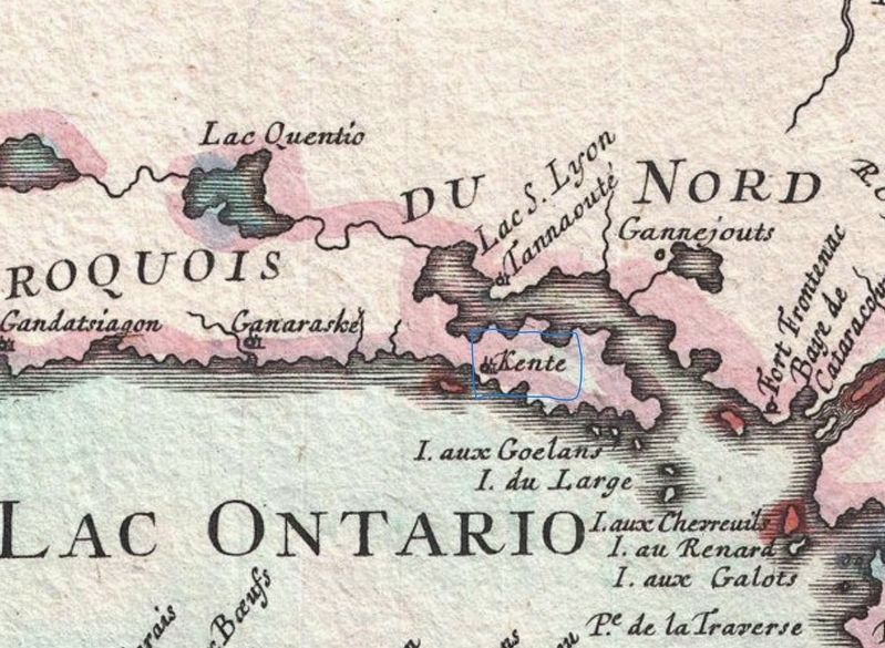
3. Map of New France from 1755 with the location of Kenté village highlighted
Credits. This page was last revised on August 9, 2026. It was originally submitted on August 7, 2026, by Tim Boyd of Hamilton, Ontario. This page has been viewed 14 times since then. Photos: 1, 2, 3. submitted on August 7, 2026, by Tim Boyd of Hamilton, Ontario. • Andrew Ruppenstein was the editor who published this page.
