
Hopewell Township in Mercer County, New Jersey — The American Northeast (Mid-Atlantic)
Family Farming
| — | Lawrence Hopewell Trail | — |
Photographed by Richard Peterson, August 6, 2026
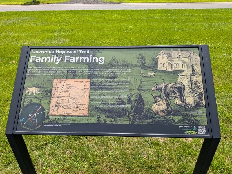
1. Family Farming Marker
Here, in the heart of Hopewell's Stony Brook valley, the soils are deep and fertile, perfect for raising crops and livestock. Following the displacement of the Native American Lenape people living here around the turn of the 18th century, European families moved on to this land, cleared away the trees and farmed for all they were worth, sometimes successfully, sometimes not, for several generations. The names of these families — Baldwin, Blackwell, Drake, Hart, Lewis, Titus, to list just a few — remain with us today, often denoting streams and streets, buildings and businesses, and sometimes in the form of living, breathing descendants.
The landscape in these parts now may see to be all corporate campuses and housing tracts stitched together with ever bigger and faster highways. But lurking here and there are many subtle hold-overs from history and countless connections to the earlier farming families: property lines and field boundaries, old roadways and water courses, and the occasional farmhouse and agricultural building.
Enos Titus (1768-1840) was a 5th-generation American. His Titus forebears wound up living and
this page online
A respected church elder, Enos Titus is buried in the Pennington Presbyterian churchyard. His son, Charles, lived and worked as the village blacksmith in Pennington. His grandson, also Charles, built the store at the northwest corner of Main and Delaware in Pennington about 1880, where he became the village's leading merchant for several decades.
(image captions)
— By the 1870s, as shown by this map, the Titus family had moved elsewhere and the 61-acre property was in the hands of Joseph A. Frisbie, a Pennington grocer, who likely leased out the house and land (Everts & Stewart, Atlas of Mercer County, New Jersey, 1875).
— In its heyday in the 19th century, the Enos Titus Farmstead perhaps presented a busy scene not unlike
Photographed by Richard Peterson, August 6, 2026
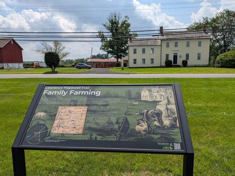
2. Family Farming Marker and Farmhouse
Content development by Hunter Research, Inc. Graphic design by Douglas Scott
History Along the LHT / Learn more by visiting lhtrail.org/history
Topics. This historical marker is listed in these topic lists: Agriculture • Settlements & Settlers. A significant historical year for this entry is 1802.
Location. 40° 20.144′ N, 74° 46.36′ W. Marker is in Hopewell Township, New Jersey, in Mercer County. It is on Pennington Rocky Hill Road (County Route 624) 0.1 miles south of Old Mill Road, on the right when traveling south. Located along the Lawrence Hopewell Trail, on the west side of Pennington Rocky Hill Road. Touch for map. Marker is at or near this postal address: 395 Pennington Rocky Hill Road, Pennington NJ 08534, United States of America. Touch for directions.

Regionally, this marker is in Central Jersey and in Greater Princeton. It is also in the American Northeast and in the Mid-Atlantic. Globally, it is in North America,
Photographed by Richard Peterson, August 6, 2026
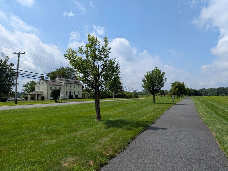
3. Farmhouse and Lawrence Hopewell Trail
Other nearby markers. At least 8 other markers are within 3 miles of this marker, measured as the crow flies: Horsin’ Around (approx. 0.4 miles away); Parks for the People (approx. 0.8 miles away); Watershed Reserve (approx. one mile away); Pennington (approx. 1.1 miles away); British Horses (approx. 1.1 miles away); Delaware and Bound Brook RR (approx. 1.8 miles away); Bicentennial of the Birth of George Washington (approx. 2 miles away); The “Pole Farm” Map (approx. 2.3 miles away). Touch for a list and map of all markers in Hopewell Township.
Also see . . . History along the LHT.
A listing of historical markers along the Lawrence Hopewell Trail.(Submitted on August 7, 2026, by Richard Peterson of East Windsor, New Jersey.)
Photographed by Richard Peterson, August 6, 2026
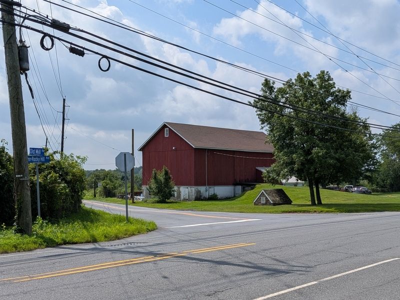
4. Barn on the Titus Farmstead
Credits. This page was last revised on August 14, 2026. It was originally submitted on August 7, 2026, by Richard Peterson of East Windsor, New Jersey. This page has been viewed 11 times since then. Photos: 1, 2, 3, 4. submitted on August 7, 2026, by Richard Peterson of East Windsor, New Jersey. • Michael Herrick was the editor who published this page.
