Hightstown in Mercer County, New Jersey — The American Northeast (Mid-Atlantic)
Memorial Park
Photographed by Richard Peterson, August 7, 2026
1. Memorial Park Marker
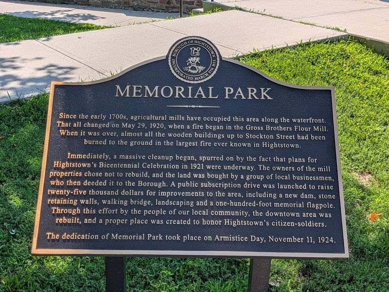
Since the early 1700s, agricultural mills have occupied this area along the waterfront. That all changed on May 29, 1920, when a fire began in the Gross Brothers Flour Mill. When it was over, almost all the wooden buildings up to Stockton Street had been burned to the ground in the largest fire ever known in Hightstown.
Immediately, a massive cleanup began, spurred on by the fact that plans for Hightstown’s Bicentennial Celebration in 1921 were underway. The owners of the mill properties chose not to rebuild, and the land was bought by a group of local businessmen, who then deeded it to the Borough. A public subscription drive was launched to raise twenty-five thousand dollars for improvements to the area, including a new dam, stone retaining walls, walking bridge, landscaping and a one-hundred-foot memorial flagpole. Through this effort by the people of our local community, the downtown area was rebuilt, and a proper place was created to honor Hightstown’s citizen-soldiers.
The dedication of Memorial Park took place on Armistice Day, November 11, 1924.
Topics. This historical marker is listed in these topic lists:
this page online
Location. 40° 16.222′ N, 74° 31.338′ W. Marker is in Hightstown, New Jersey, in Mercer County. It is at the intersection of North Main Street (New Jersey Route 33) and Franklin Street ( Route 33), on the right when traveling north on North Main Street. Touch for map. Marker is in this post office area: Hightstown NJ 08520, United States of America. Touch for directions.

Regionally, this marker is in Central Jersey and in Greater Princeton. It is also in the American Northeast and in the Mid-Atlantic. Globally, it is in North America, the Western Hemisphere, the Western World, and the Anglosphere. Historically, it finds itself in what was once New Netherland and also one of the original Thirteen Colonies.
Other nearby markers. At least 8 other markers are within 3 miles of this marker, measured as the crow flies: Hightstown (a few steps from this marker); Hightstown World War II Memorial (within shouting distance of this marker); The Railroad in Hightstown (within shouting distance of this marker); The Smith House (about 600 feet
Photographed by Richard Peterson, August 7, 2026
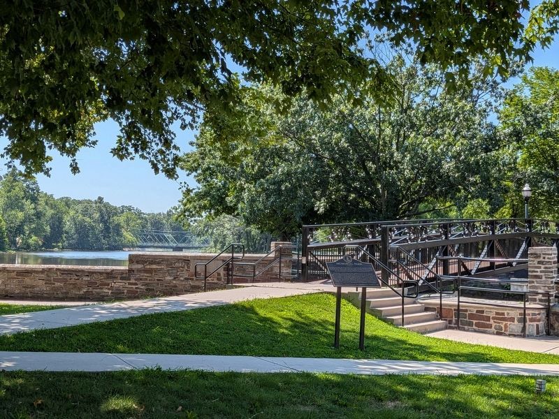
2. Memorial Park Marker, Peddie Lake, Pedestrian Bridge
Credits. This page was last revised on August 14, 2026. It was originally submitted on August 7, 2026, by Richard Peterson of East Windsor, New Jersey. This page has been viewed 12 times since then. Photos: 1, 2. submitted on August 7, 2026, by Richard Peterson of East Windsor, New Jersey. • Michael Herrick was the editor who published this page.
