Greenleaf Township near Cass City in Sanilac County, Michigan — The American Midwest (Great Lakes)
The Great Thumb Fires
Photographed by Joel Seewald, May 30, 2026
1. The Great Thumb Fires Marker
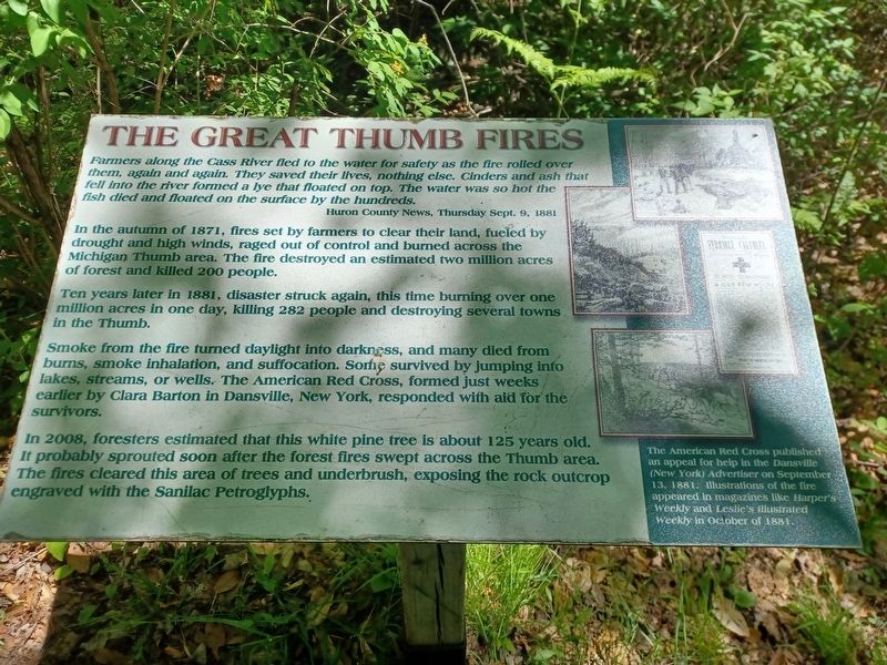
Farmers along the Cass River fled to the water for safety as the fire rolled over them, again and again. They saved their lives, nothing else. Cinders and ash that fell into the river formed a lye that floated to the top. The water was so hot the fish died and floated to the surface by the hundreds.
Huron County News, Thursday Sept. 9, 1881
In the autumn of 1871, fires set by farmers to clear their land, fueled by drought and high winds, raged out of control and burned across the Michigan Thumb area. The fire destroyed an estimated two million acres of forest and killed 200 people.
Ten years later in 1881, disaster struck again, this time burning over one million acres in one day, killing 282 people and destroying several towns in the Thumb.
In 2008, foresters estimated that this white pine tree is about 125 years old. It probably sprouted soon after the forest fires swept across the Thumb area. The fires cleared this area of trees and underbrush, exposing the rock outcrop engraved with the Sanilac Petroglyphs.
Right: The American Red Cross published an appeal for help in the Dansville (New York) Advertiser
this page online
Topics. This historical marker is listed in these topic lists: Disasters • Environment. A significant historical date for this entry is September 13, 1881.
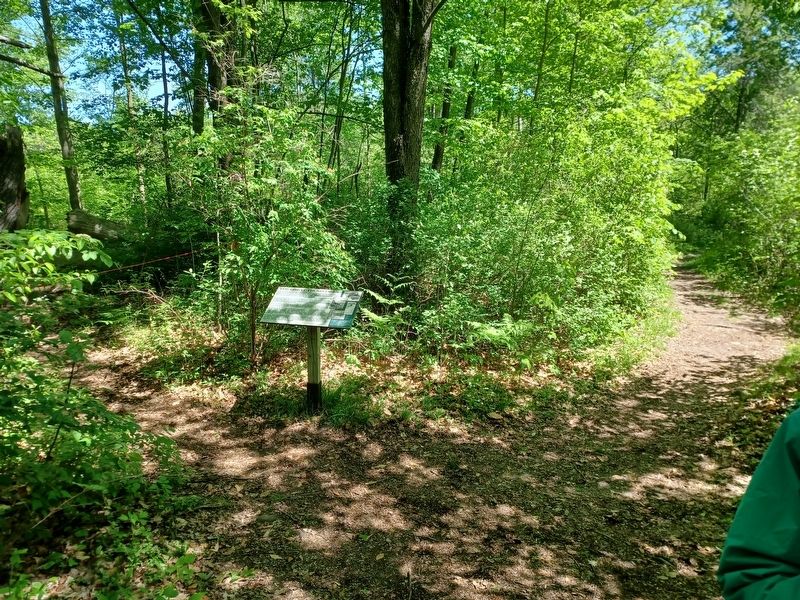
Location. 43° 39.275′ N, 83° 1.235′ W. Marker is near Cass City, Michigan, in Sanilac County. It is in Greenleaf Township. It can be reached from Germania Road half a mile south of Bay City Forestville Road, on the right when traveling south. Marker is in Sanliac Petroglyphs Historic Park, along a trail past the petroglyphs. Touch for map. Marker is at or near this postal address: 8521 Germania Rd, Cass City MI 48726, United States of America. Touch for directions.

Regionally, this marker is on Michigan’s Thumb and in one of the Lake Huron Shore counties. It is also in the American Midwest. Globally, it is in North America, on the Great Lakes, in the Western Hemisphere, in the Western World, and in the Anglosphere. Historically, it finds itself in what was once the Northwest Territory.
Other nearby markers. At least 8 other markers are within
Photographed by Joel Seewald, May 30, 2026
2. The Great Thumb Fires Marker
Credits. This page was last revised on August 8, 2026. It was originally submitted on August 8, 2026, by Joel Seewald of Madison Heights, Michigan. This page has been viewed 17 times since then. Photos: 1, 2. submitted on August 8, 2026, by Joel Seewald of Madison Heights, Michigan.
