
Mansfield in Bristol County, Massachusetts — The American Northeast (New England)
Cobbler’s Corner
Photographed by Roger W. Sinnott, August 7, 2026
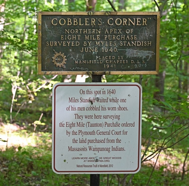
1. Cobbler’s Corner Marker
Northern apex of Eight Mile Purchase surveyed by Myles Standish June 1640.
(lower marker)
On this spot in 1640 Miles Standish waited while one of his men cobbled his worn shoes. They were here surveying the Eight Mile (Taunton) Purchase ordered by the Plymouth General Court for the land purchased from the Massasoits Wampanoag Indians.
Learn more about the Great Woods at www.nrtma.org
Erected by Mansfield Chapter, D. A. R., 1941 (upper marker). Natural Resources Trust of Mansfield, 2012 (lower marker).
Topics. This historical marker is listed in these topic lists: Colonial Era • Settlements & Settlers. A significant historical year for this entry is 1640.
Location. 42° 0.55′ N, 71° 13.253′ W. Marker is in Mansfield, Massachusetts, in Bristol County. It can be reached from Fisher’s Lane near Judy’s Lane when traveling south. Located in deep woods, not visible from any road. It is about a quarter mile into the Mansfield Conservation Area from its entrance at the intersection of Fisher’s Lane and Judy’s Lane. Touch for map. Marker is in this post office area: Mansfield MA 02048, United States of America. Touch
this page online

Regionally, this marker is in Greater Providence. It is also in the American Northeast, in New England, and on the Eastern Seaboard. Globally, it is in the North Atlantic Region, North America, the Western Hemisphere, the Western World, and the Anglosphere. Historically, it finds itself in what was once one of the original Thirteen Colonies.
Other nearby markers. At least 8 other markers are within 2 miles of this marker, measured as the crow flies: SPC Corey M. Shea (approx. 1.1 miles away); Mansfield World War I Monument (approx. 1.1 miles away); Mansfield Veterans Memorial (approx. 1.1 miles away); Mansfield Bell of Freedom (approx. 1.1 miles away); The Purple Heart Medal (approx. 1.1 miles away); September 11, 2001 (approx. 1.1 miles away); Mansfield Orthodox Congregational Church (approx. 1.1 miles away); a different marker also named Mansfield Veterans Memorial (approx. 1.6 miles away). Touch for a list and map of all markers in Mansfield.
Regarding Cobbler’s Corner. Twenty years after landing in the Mayflower at Plymouth, Myles Standish had largely retired from his earlier role as a military officer
Photographed by Roger W. Sinnott, August 7, 2026
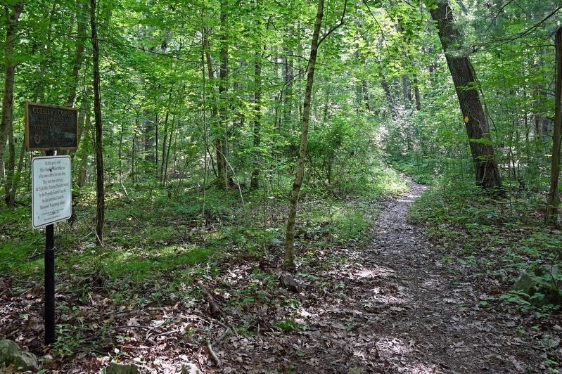
2. Cobbler’s Corner Marker on Cobbler’s Trail
Also see . . .
1. Great Woods - Natural Resources Trust of Mansfield. (Submitted on August 8, 2026, by Roger W. Sinnott of Norwell, Massachusetts.)
2. Natural Resources Trust of Mansfield. (Submitted on August 14, 2026, by Michael Herrick of Southbury, Connecticut.)
3. Myles Standish (Wikipedia). (Submitted on August 14, 2026, by Michael Herrick of Southbury, Connecticut.)
Additional keywords. Mayflower
Photographed by Roger W. Sinnott, August 7, 2026
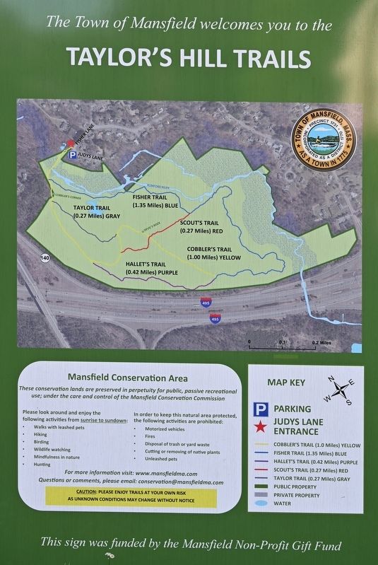
3. Map of Mansfield Conservation Area
The marker is in deep woods near the “Cobbler's Corner” label.
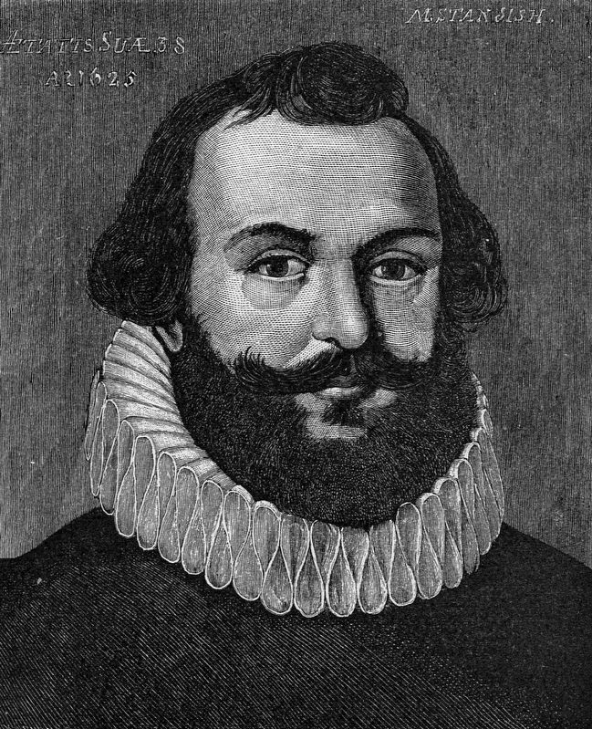
4. Myles Standish (1584–1656)
This engraving of Myles Standish, done in 1885, is said to be based on a 1625 portrait of Standish.
Credits. This page was last revised on August 14, 2026. It was originally submitted on August 8, 2026, by Roger W. Sinnott of Norwell, Massachusetts. This page has been viewed 50 times since then. Photos: 1, 2, 3, 4. submitted on August 8, 2026, by Roger W. Sinnott of Norwell, Massachusetts. • Michael Herrick was the editor who published this page.
