
Westerville in Franklin County, Ohio — The American Midwest (Great Lakes)
Olde Methodist (Lincoln Street) Cemetery
Photographed by Brian Anderson, August 8, 2026
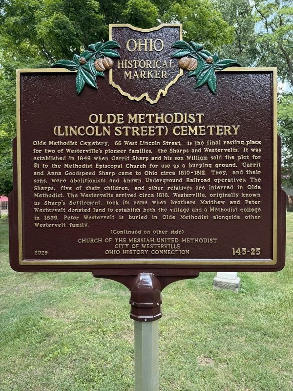
1. Olde Methodist (Lincoln Street) Cemetery Marker (Side A)
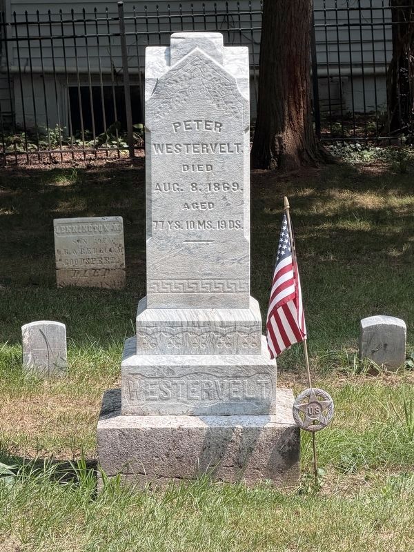
Olde Methodist Cemetery, 66 West Lincoln Street, is the final resting place for two of Westerville’s pioneer families, the Sharps and Westervelts. It was established in 1849 when Garrit Sharp and his son William sold the plot for $1 to the Methodist Episcopal Church for use as a burying ground. Garrit and Anna Goodspeed Sharp came to Ohio circa 1810-1812. They, and their sons, were abolitionists and known Underground Railroad operatives. The Sharps, five of their children, and other relatives are interred in Olde Methodist. The Westervelts arrived circa 1818. Westerville, originally known as Sharp’s Settlement, took its name when brothers Matthew and Peter Westervelt donated land to establish both the village and a Methodist college in 1839. Peter Westervelt is buried in Olde Methodist alongside other Westervelt family.
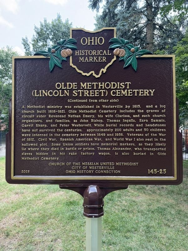
A Methodist ministry was established in Westerville by 1815, and a log church built 1818-1821. Olde Methodist Cemetery includes the graves of circuit rider Reverend Nathan Emery, his wife Clarissa, and such church organizers, and families, as John Bishop, Thomas Ingalls, Ezra Sammis, Garrit Sharp,
this page online
Erected 2025 by Church of the Messiah United Methodist, City of Westerville, Ohio History Connection. (Marker Number 145-25.)
Topics and series. This historical marker is listed in these topic lists: Cemeteries & Burial Sites • Religion & Religious Structures • Settlements & Settlers. In addition, it is included in the Ohio Historical Society / The Ohio History Connection series list. A significant historical year for this entry is 1849.
Location. 40° 7.749′ N, 82° 56.14′ W. Marker is in Westerville, Ohio, in Franklin County. It is on West Lincoln Street, on the right when traveling west. Touch for map. Marker is at
Photographed by Brian Anderson, August 8, 2026
2. Olde Methodist (Lincoln Street) Cemetery Marker (Side B)

Regionally, this marker is in the Scioto Valley and in the Columbus Metropolitan Area. It is also in the American Midwest and in the Corn Belt. Globally, it is in North America, the Western Hemisphere, the Western World, and the Anglosphere. Historically, it finds itself in what was once the Haudenosaunee (Iroquois) Confederacy, the territory of the Mississippian Culture, and the Northwest Territory.
Other nearby markers. At least 8 other markers are within walking distance of this marker: King's Sunoco Service / Joe's Sunoco Service (approx. 0.2 miles away); United Brethren Church (approx. 0.2 miles away); Darling Nelly Gray (approx. 0.2 miles away); Hanby House (approx. 0.2 miles away); Otterbein College (approx. 0.2 miles away); Methodism in Westerville (approx. ¼ mile away); William Hanby, Freedom Crusader (approx. ¼ mile away); Uptown Westerville Historic District (approx. ¼ mile away). Touch for a list and map of all markers in Westerville.
Photographed by Brian Anderson, August 8, 2026
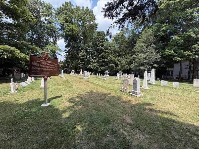
3. Olde Methodist (Lincoln Street) Cemetery Marker
Photographed by Brian Anderson, August 8, 2026
4. Peter Westervelt Grave Marker
Credits. This page was last revised on August 11, 2026. It was originally submitted on August 8, 2026, by Brian Anderson of New Albany, Ohio. This page has been viewed 12 times since then. Photos: 1, 2, 3, 4. submitted on August 8, 2026, by Brian Anderson of New Albany, Ohio.
