Near Fort Peck in McCone County, Montana — The American West (Mountains)
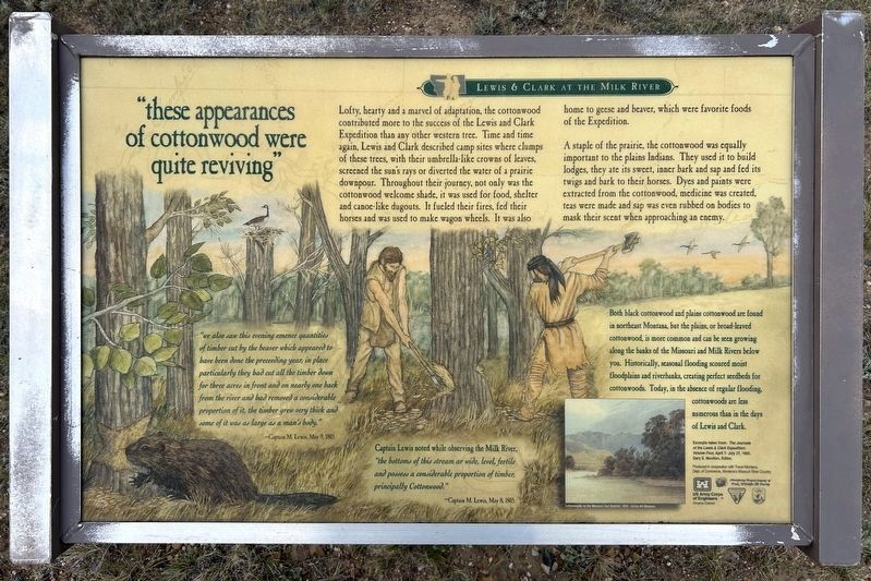
"these appearances of cottonwood were quite reviving"
Lewis & Clark at the Milk River
June 21, 2026
1. "these appearances of cottonwood were quite reviving" Marker
A staple of the prairie, the cottonwood was equally important to the plains Indians. They used it to build lodges, they ate its sweet, inner bark and sap and fed its twigs and bark to their horses. Dyes and paints were extracted from the cottonwood, medicine was created, teas were made and sap was even rubbed on bodies to mask their scent when approaching an enemy.
"we also saw this evening emence quantities of timber cut by the beaver which appeared to have been done the preceeding year, in place particularly they had cut all the timber down for three acres in front and on nearly one back from the river and had removed a considerable proportion of it, the timber grew very thick and some of it was as large as a man's body."
—Captain M. Lewis, May 9, 1805
Captain
this page online
—Captain M. Lewis, May 8, 1805
Both black cottonwood and plains cottonwood are found in northeast Montana, but the plains, or broad-leaved cottonwood, is more common and can be seen growing along the banks of the Missouri and Milk Rivers below you. Historically, seasonal flooding scoured moist floodplains and riverbanks, creating perfect seedbeds for cottonwoods. Today, in the absence of regular flooding, cottonwoods are less numerous than in the days of Lewis and Clark.
Cottonwoods on the Missouri, Karl Bodmer, 1833; Joclyn Art Museum
Excerpts taken from: The Journals of the Lewis & Clark Expedition: Volume Four, April 7- July 27, 1805. Gary E. Moulton, Editor.
Erected by US Army Corps of Engineers Omaha District, Montana Department of Fish, Wildlife & Parks, in cooperation with Travel Montana, Dept. of Commerce, Montana's Missouri River Country.
Topics and series. This historical marker is listed in these topic lists: Exploration • Horticulture & Forestry
June 21, 2026
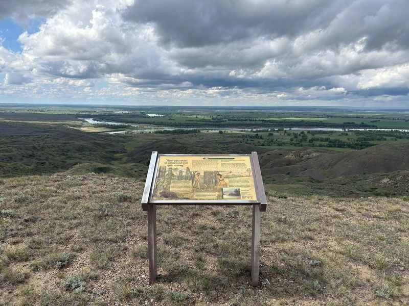
2. "these appearances of cottonwood were quite reviving" Marker
The Missouri River can be seen in the distance.
Location. 48° 1.743′ N, 106° 19.175′ W. Marker is near Fort Peck, Montana, in McCone County. It can be reached from L and C Observation Road 0.2 miles north of Fort Peck Tower Hill Road. Located at the Lewis & Clark Milk River Observation Point. Touch for map. Marker is in this post office area: Nashua MT 59248, United States of America. Touch for directions.

Regionally, this marker is in the American Mountain West, in the Lewis & Clark Corridor, on the prairies, on the Great Plains, and specifically on the Northern Plains. Globally, it is in North America, the Western Hemisphere, the Western World, and the Anglosphere. Historically, it finds itself in what was once Rupert’s Land and also the Louisiana Purchase.
Other nearby markers. At least 8 other markers are within 4 miles of this marker, measured as the crow flies: Welcome to the Milk River Observation Point (here, next to this marker); "...much broken grannite...scattered...in a confused manner" (a few steps
June 21, 2026
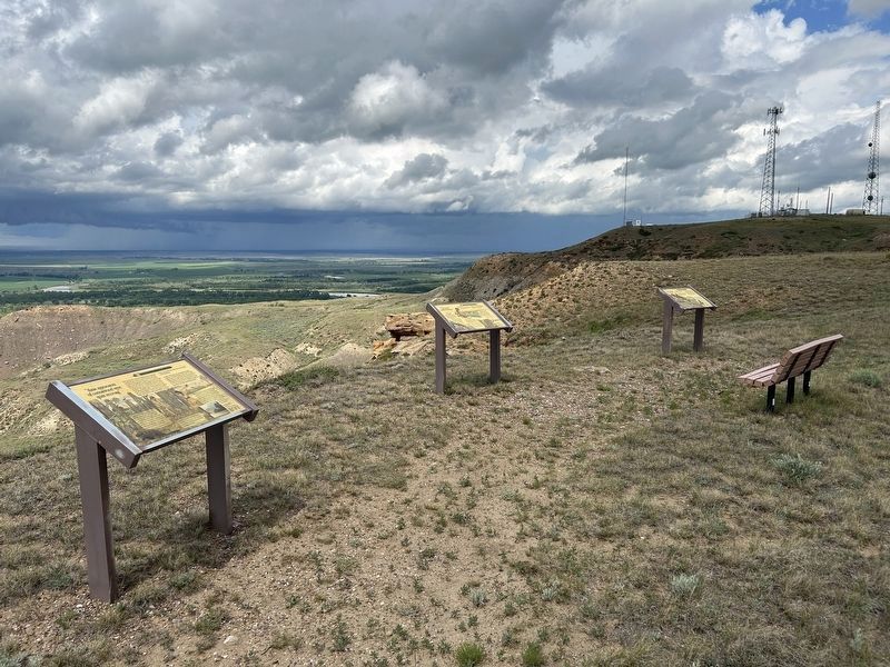
3. "these appearances of cottonwood were quite reviving" Marker (left)
The confluence of the Missouri and Milk Rivers can be seen in the distant background, on the left side above this marker.
Credits. This page was last revised on August 8, 2026. It was originally submitted on August 8, 2026. This page has been viewed 22 times since then. Photos: 1, 2, 3. submitted on August 8, 2026.
