Fox Point in Providence in Providence County, Rhode Island — The American Northeast (New England)
Bridging the Seekonk
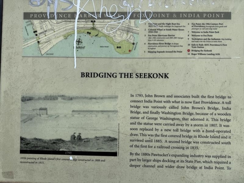
Providence Harbor Walk at Fox Point & India Point
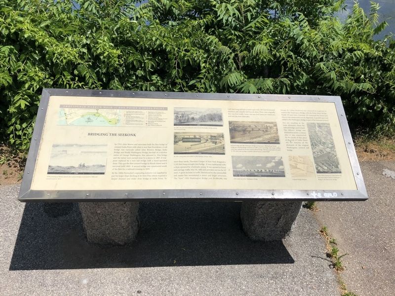
In 1793, John Brown and associates built the first bridge to connect India Point with what is now East Providence. A toll bridge was variously called John Brown's Bridge, India Bridge, and finally Washington Bridge, because of a wooden statue of George Washington that adorned it. This bridge and the statue were carried away by a storm in 1807. It was soon replaced by a new toll bridge with a hand-operated draw. This was the first covered bridge in Rhode Island and it survived until 1885. A second bridge was constructed south of the first for a railroad crossing in 1835.
By the 1880s Pawtucket's expanding industry was supplied in part by larger ships docking at its State Pier, which required a deeper channel and wider draw bridge at India Point. To meet these needs, Theodore Cooper of New York designed 1,245 foot long wrought iron bridge. It was constructed with a draw operated by a hydraulic pump. It was opened to horse and carriage traffic May 30, 1885 and provided service for 45 years. A great increase in traffic introduced by the automobile and motor bus necessitated a newer and larger structure. The "new" 1930
this page online
George M. Cohan Boulevard was conceived as a gateway to connect the Washington Bridge with the Point Street Bridge. Nearly 30 years later, Interstate 195 destroyed the boulevard when it was constructed over its alignment. A parallel span was added to the Washington Bridge as part of the Interstate project.
You are standing at the stone abutment where the railroad bridge used to land. The defunct bridge was dismantled nearly a century after it was constructed. To the north of this place at the end of India Street are the remnants of the abutment of the original Washington covered trail bridge. (Marker Number 11.)
Topics. This historical marker is listed in these topic lists: Bridges & Viaducts • Industry & Commerce • Railroads & Streetcars • Waterways & Vessels. A significant historical date for this entry is May 30, 1885.
Location. 41° 49.033′ N, 71° 23.296′ W. Marker is
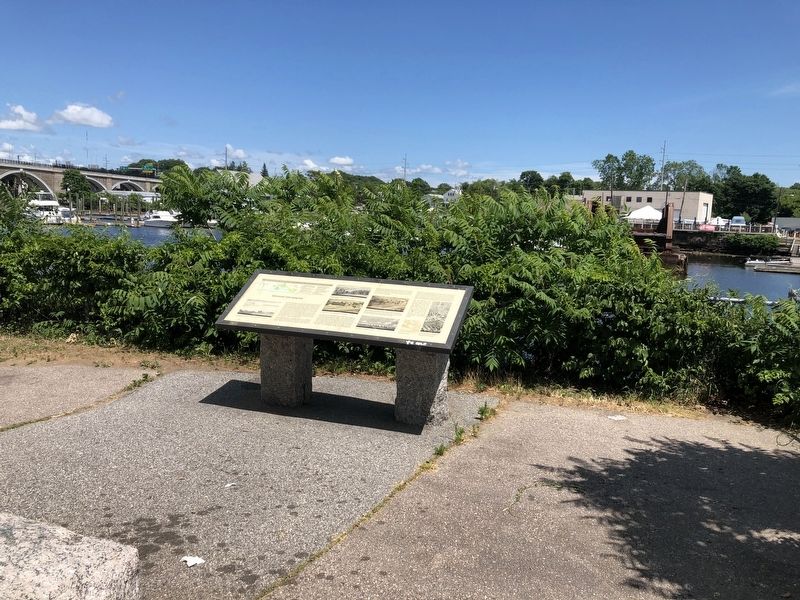

Regionally, this marker is on Narragansett Bay. It is also in the American Northeast, in New England, and on the Eastern Seaboard. Globally, it is in the North Atlantic Region, North America, the Western Hemisphere, the Western World, and the Anglosphere. Historically, it finds itself in what was once one of the original Thirteen Colonies.
Other nearby markers. At least 8 other markers are within walking distance of this marker: Roger Williams Landing 1636 (within shouting distance of this marker); History of John L. Lewis Waterfront Park (about 500 feet away, measured in a direct line); Tockwotton and the Indiamen / Sails to Rails 1835: Providence's First Train Station (about 700 feet away); West Bank / East Bank / Washington Bridges (about 700 feet away); Head of Narragansett Bay / Crossing the Seekonk River (about 700
Photographed by G.W.Bartlett, July 13, 2026
3. Bridging the Seekonk Marker
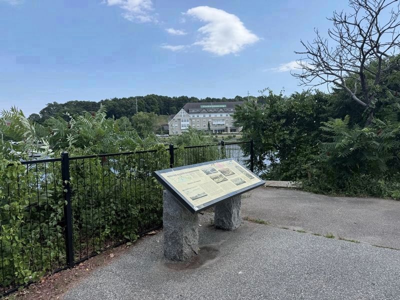
View across the Seekonk River towards Fort Hill where cannon were positioned in 1775 to protect Providence Harbor.
Related marker. Click here for another marker that is related to this marker. The History of John L. Lewis Waterfront Park, East Providence
Photographed by G.W.Bartlett, July 13, 2026
4. Bridging the Seekonk Marker
Left hand side of marker.
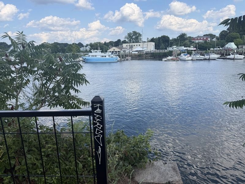
Photographed by G.W.Bartlett, August 14, 2026
5. Bridging the Seekonk Marker
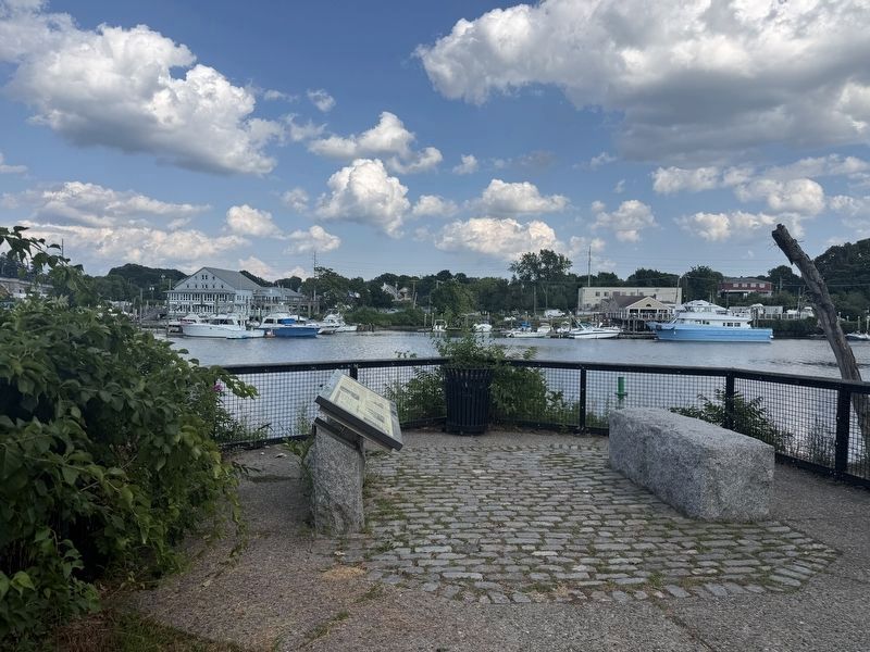
Photographed by G.W.Bartlett, August 13, 2026
6. Bridging the Seekonk Marker
Credits. This page was last revised on October 9, 2026. It was originally submitted on June 21, 2020, by Devry Becker Jones of Washington, District of Columbia. This page has been viewed 519 times since then and 67 times this year. Last updated on August 8, 2026, by G.W.Bartlett of Hingham, Massachusetts. Photos: 1, 2. submitted on June 21, 2020, by Devry Becker Jones of Washington, District of Columbia. 3, 4. submitted on July 16, 2026, by G.W.Bartlett of Hingham, Massachusetts. 5, 6. submitted on August 14, 2026, by G.W.Bartlett of Hingham, Massachusetts.
