Maywood in Burnaby in Metro Vancouver, British Columbia — Canada’s West Coast (North America)
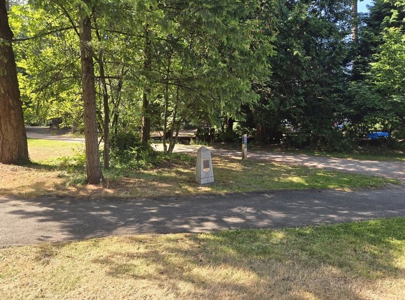
Central Park
City of Burnaby Heritage Site
Photographed by Bradley Owen, August 8, 2026
1. Central Park Marker
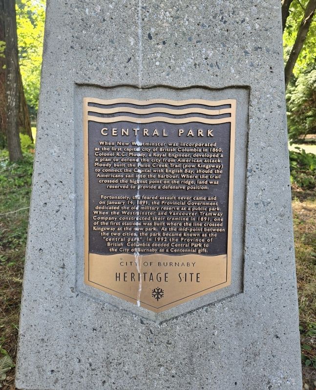
When New Westminster was incorporated as the first capital city of British Columbia in 1860, Colonel R.C. Moody, a Royal Engineer, developed a a plan to defend the city from American attack. Moody built the False Creek Trail (now Kingsway) to connect the Capital with English Bay, should the Americans sail into the harbour. Where the trail crossed the highest point on the ridge, land was reserved to provide a defensive position.
Fortunately, the feared assault never came and on January 14, 1891, the Provincial Government dedicated the old military reserve as a public park. When the Westminster and Vancouver Tramway Company constructed their tramline in 1891, one of the first stations was built where the line crossed Kingsway at the new park. As the mid-point between the two cities, the park became known as the "central park". In 1992 the Province of British Colombia deeded Central Park to the City of Burnaby as a Centennial gift.
Erected 1993 by The City of Burnaby, British Colombia.
Topics. This historical marker is listed in these topic lists: Military • Parks & Recreational Areas. A significant historical date for this entry is January 14, 1891.
Location. 49° 13.9′ N,
this page online

Regionally, this marker is on the Lower Mainland and in Coast & Mountains. Globally, it is in North America, in the Cascade Range, in the Inside Passage, on the Ring of Fire, on the Pacific Rim, in the Western Hemisphere, in the Western World, and in the Anglosphere. Historically, it finds itself in what was once a British colony.
Other nearby markers. At least 8 other markers are within 8 kilometers of this marker, measured as the crow flies: Variety Park Playground (within shouting distance of this marker); Central Park Bandstand (about 240 meters away, measured in a direct line); Korean War Memorial (approx. 0.4 kilometers away); Jubilee Grove (approx. half a kilometer away); Bright Waters (approx. 1.3 kilometers
Photographed by Bradley Owen, August 8, 2026
2. Central Park Marker
Credits. This page was last revised on August 9, 2026. It was originally submitted on August 9, 2026, by Bradley Owen of Morgantown, West Virginia. This page has been viewed 15 times since then. Photos: 1, 2. submitted on August 9, 2026, by Bradley Owen of Morgantown, West Virginia.
