
Freedom Park in Charlotte in Mecklenburg County, North Carolina — The American South (South Atlantic)
Freedom Park
Photographed by Mark Parker, July 28, 2026
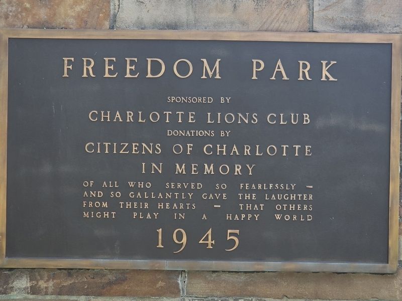
1. Freedom Park Marker
Sponsored by
Charlotte Lions Club
Donations by
Citizens of Charlotte
In Memory
Of all who served so fearlessly —
And so gallantly gave the laughter
From their hearts — That others
Might play in a happy world
1945
Topics. This memorial is listed in these topic lists: Parks & Recreational Areas • War, World II.
Location. 35° 11.495′ N, 80° 50.7′ W. Memorial is in Charlotte, North Carolina, in Mecklenburg County. It is in Freedom Park. It is at the intersection of Lilac Road and Cumberland Avenue, on the right when traveling east on Lilac Road. The marker is at parking lot entrance to Freedom Park near the Mahlon Adams Pavilion. Touch for map. Memorial is at or near this postal address: 2430 Cumberland Ave, Charlotte NC 28209, United States of America. Touch for directions.

Regionally, this memorial is in North Carolina’s Piedmont. It is also in the American South and specifically in the Upper South. Globally, it is in North America, the Western Hemisphere, the Western World, and the Anglosphere. Historically, it finds itself
this page online
Other nearby markers. At least 8 other markers are within walking distance of this marker: Dwight D. Eisenhower/ Gerald R. Ford (within shouting distance of this marker); Dr. Herbert Spaugh, Bishop (about 300 feet away, measured in a direct line); Trees Charlotte (about 400 feet away); U.S. Marine Corps (about 400 feet away); a different marker also named Freedom Park (about 500 feet away); D-Day Monument (about 500 feet away); C.B.I. (about 500 feet away); The North Carolina Liberty Tree (about 600 feet away). Touch for a list and map of all markers in Charlotte.
Regarding Freedom Park. Freedom Park was completed in 1949, built in honor of Charlotteans who served during World War II. Several monuments to WWII are located at the park.
Also see . . . Freedom Park (Charlotte, North Carolina). Wikipedia entry
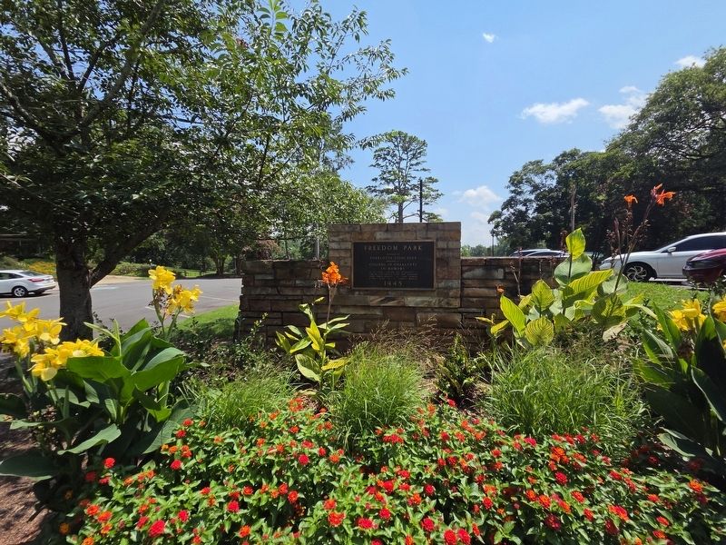
Freedom Park is a 98-acre park in Charlotte, North Carolina. Located at 1900 East Boulevard, between Charlotte's historic Dilworth and Myers Park(Submitted on August 10, 2026, by Mark Parker of Hickory, North Carolina.)neighborhoods, the park is centered on a 7-acre lake, and is about 3 miles (4.8 km) from Uptown Charlotte...Photographed by Mark Parker, July 28, 20262. Full view of Freedom Park Marker in the planter
At the end of World War II the Mecklenburg County Lions Club, raised private money to build a park to honor veterans and named it Freedom Park. The land was then deeded to the City of Charlotte in 1949.
Photographed by Mark Parker, July 28, 2026
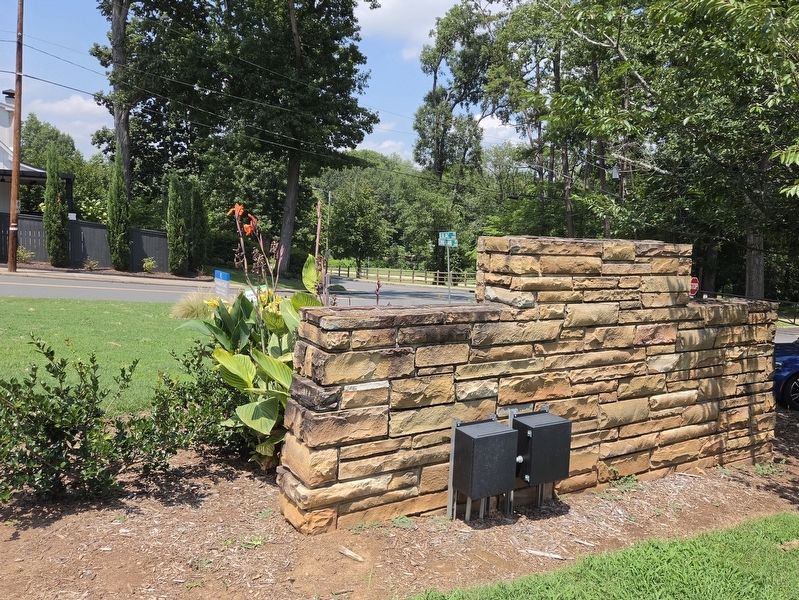
3. Rear view of Freedom Park Marker at the corner of Cumberland Avenue and Lilac Road
Credits. This page was last revised on August 17, 2026. It was originally submitted on August 10, 2026, by Mark Parker of Hickory, North Carolina. This page has been viewed 10 times since then. Photos: 1, 2, 3. submitted on August 10, 2026, by Mark Parker of Hickory, North Carolina. • Bernard Fisher was the editor who published this page.
