Gurnee in Lake County, Illinois — The American Midwest (Great Lakes)
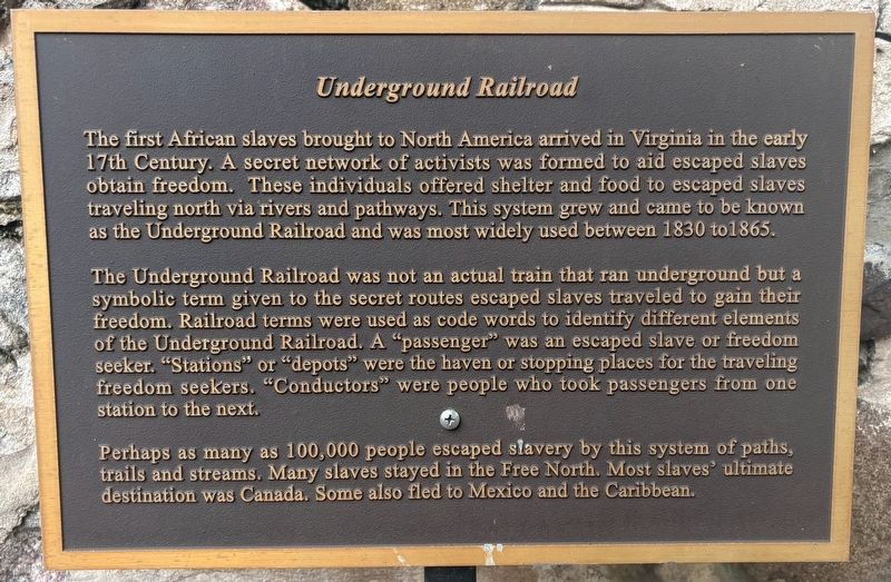
Underground Railroad
Photographed by Sean P. Flynn, August 9, 2026
1. Underground Railroad Marker
The Underground Railroad was not an actual train that ran underground but a symbolic term given to the secret routes escaped slaves traveled to gain their freedom. Railroad terms were used as code words to identify different elements of the Underground Railroad. A "passenger" was an escaped slave or freedom seeker. "Stations" or "depots" were the haven or stopping places for the traveling freedom seekers. "Conductors" were people who took passengers from one station to the next.
Perhaps as many as 100,000 people escaped slavery by this system of paths, trails and streams. Many slaves stayed in the Free North. Most slaves' ultimate destination was Canada. Some also fled to Mexico and the Caribbean.
Topics. This historical marker
this page online
Location. 42° 22.368′ N, 87° 55.124′ W. Marker is in Gurnee, Illinois, in Lake County. It can be reached from Kilbourne Road north of Old Grand Avenue, on the right when traveling north. The marker is in the ruins of the Mother Rudd Barn. Touch for map. Marker is at or near this postal address: 4690 Old Grand Avenue, Gurnee IL 60031, United States of America. Touch for directions.

Regionally, this marker is in Greater Chicago. It is also in the American Midwest. Globally, it is in North America, on the Great Lakes, in the Western Hemisphere, in the Western World, and in the Anglosphere. Historically, it finds itself in what was once the territory of the Mississippian Culture and also the Northwest Territory.
Other nearby markers. At least 15 other markers are within walking distance of this marker: The Mother Rudd Barn (here, next to this marker); a different marker also named The Mother Rudd Barn (here, next to this marker); The Journey (here, next to this marker); "Lamp of Liberty" (here,
Photographed by Sean P. Flynn, August 9, 2026
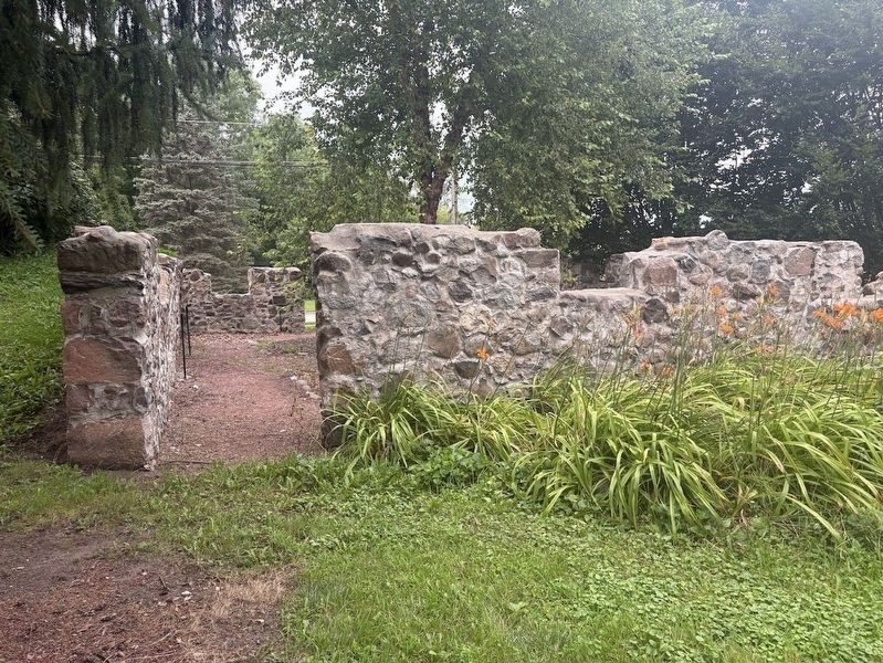
2. Mother Rudd Barn ruins
Several markers have been erected inside the ruins of this barn, which was used in pre-Civil War times as a stop on the Underground Railroad.
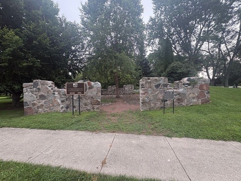
More about this marker. The marker is one of seven inside the ruins of the Mother Rudd Barn. The barn is just north of the Mother Rudd House, which serves today as the home of the Warren Township Historical Society. There are two other markers in front of the ruins: one about this barn's history as an Underground Railroad stop, and another about Lake County's first African-American settler.
Also see . . . Lake County's Involvement in the Underground Railroad.
Photographed by Sean P. Flynn, August 9, 2026
3. Mother Rudd Barn ruins
The marker on the left is about the barn's use as a stop on the Underground Railroad; the one on the right is about Lake County's first settler, Amos Bennett. Markers inside the ruins discuss the Underground Railroad.
Credits. This page was last revised on August 12, 2026. It was originally submitted on August 10, 2026, by Sean P. Flynn of Oak Park, Illinois. This page has been viewed 19 times since then. Photos: 1, 2, 3. submitted on August 10, 2026, by Sean P. Flynn of Oak Park, Illinois.
