Wamsutter in Sweetwater County, Wyoming — The American West (Mountains)
Wamsutter
Photographed by Jimmy Emerson, September 19, 2020
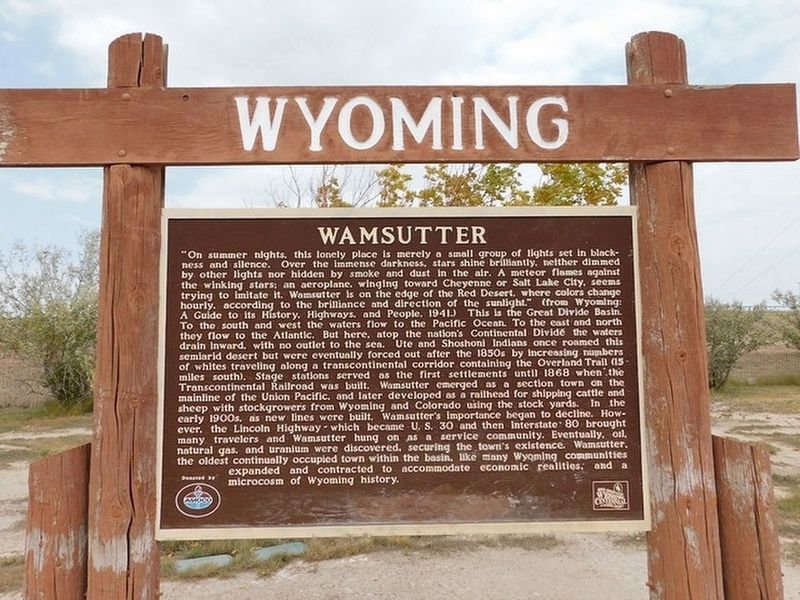
1. Wamsutter Marker
Inscription.
"On summer nights, this lonely place is merely a small group of lights set in blackness and silence. Over the immense darkness, stars shine brilliantly, neither dimmed by other lights nor hidden by smoke and dust in the air. A meteor flames against
the winking stars: an aeroplane, winging toward Cheyenne or Salt Lake City, seems trying to imitate it. Wamsutter is on the edge of the Red Desert, where colors change
hourly, according to the brilliance and direction of the sunlight." (from Wyoming:
A Guide to its History, Highways. and People. 1941) This is the Great Divide Basin.
To the south and west the waters flow to the Pacific Ocean. To the east and north
they flow to the Atlantic. But here, atop the nation's Continental Divide the waters
drain inward, with no outlet to the sea. Ute and Shoshoni Indians once roamed this
semiarid desert but were eventually forced out after the 1850s by increasing numbers
of whites traveling along a transcontinental corridor containing the Overland Trail (15-miles south). Stage stations served as the first settlements until 1868 when the Transcontinental Railroad was built. Wamsutter
Click or scan to see this page online
emerged as a section town on the
mainline of the Union Pacific, and later developed as a railhead for shipping cattle and sheep with stockgrowers from Wyoming and Colorado using the stock yards. In the early 1900s, as new lines were built, Wamsutter's importance began to decline. However, the Lincoln Highway which became U. S. 30 and then Interstate 80 brought many travelers and Wamsutter hung on as a service community. Eventually, oil, natural gas, and uranium were discovered, securing the town's existence. Wamsutter, the oldest continually occupied town within the basin, like many Wyoming communities expanded and contracted to accommodate economic realities, and a microcosm of Wyoming history.
Location. 41° 40.381′ N, 107° 58.879′ W. Marker is in Wamsutter, Wyoming, in Sweetwater County. It is on Mc Cormick Road, on the right when traveling west. Touch for map. Marker is at or near this postal address: 231 Mc Cormick Road, Wamsutter WY 82336, United States of America. Touch for directions.
Regionally, this marker is in the Westward Expansion Trails Region. It is also in the American Mountain West. Globally, it is in North America, the Rocky Mountains, the Western Hemisphere, the Western World, and the Anglosphere. Historically, it finds itself in what was once Mexico’s Alta California.
Credits. This page was last revised on August 11, 2026. It was originally submitted on August 10, 2026, by Jimmy Emerson of Dalton, Georgia. This page has been viewed 24 times since then. Photo1. submitted on August 10, 2026, by Jimmy Emerson of Dalton, Georgia. • Andrew Ruppenstein was the editor who published this page.